
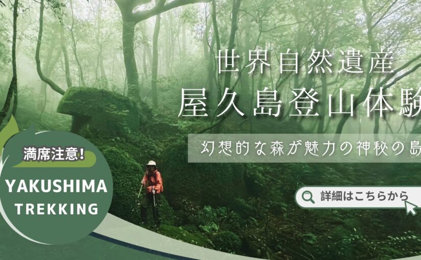
Explore the charms of Yakushima with a map! Sightseeing, mountain climbing, and popular sightseeing spot information summary
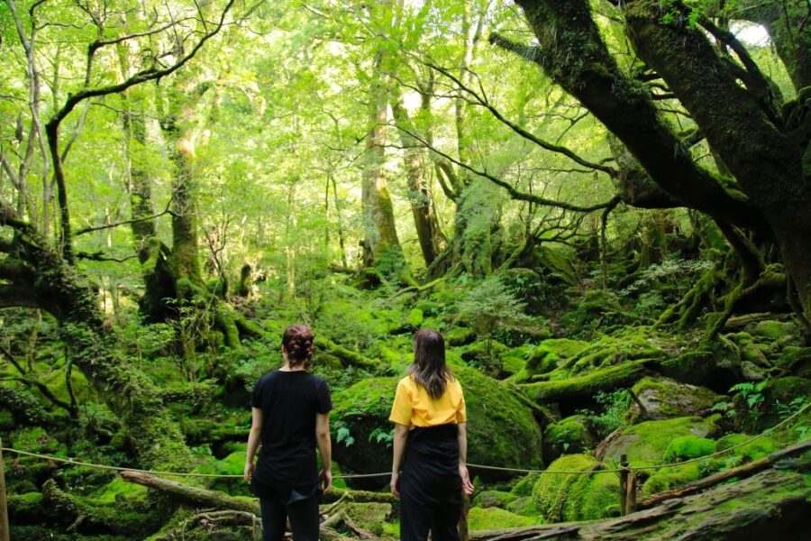
Table of Contents
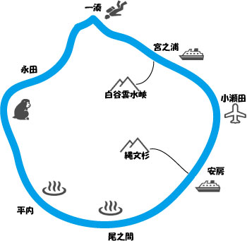
Let's look at Yakushima on a map!

Yakushima is an attractive island dotted with rich nature and many tourist attractions.
When visiting Yakushima,A map is essential to efficiently explore tourist attractions and climbing routes!
This article provides useful map information for tourists visiting Yakushima and how to efficiently identify tourist attractions and climbing routes.
◆If you want to know about Yakushima map application
◆Introduction to popular sightseeing spots on Yakushima Island
◆If you want to know about recommended climbing routes in Yakushima
Yakushima Island
Click here for recommended tour ranking
Map app is recommended for sightseeing in Yakushima

There are many sightseeing spots on Yakushima, and by using a map, you will be able to move smoothly to your desired location.
Here we show you how to find and visit Yakushima's tourist attractions efficiently using a map.
Useful map app for sightseeing and getting around

When visiting Yakushima, a smartphone application that allows you to check the location of tourist spots and mountain trails on a map is very useful.
Dedicated application for YakushimaYakushima App.and ... andGoogle Maps, NAVITIMEThere are a number of applications that support tourist attractions in Yakushima, such as
With these apps, you can not only easily find your way to the sights, but also check out nearby facilities and places to eat.
Map apps for mountaineering
Free downloadable map of Yakushima Island
Before traveling to Yakushima,Recommend downloading the map.I will do so.
It is especially useful to carry paper maps or apps when climbing or exploring the finer roads of Yakushima.
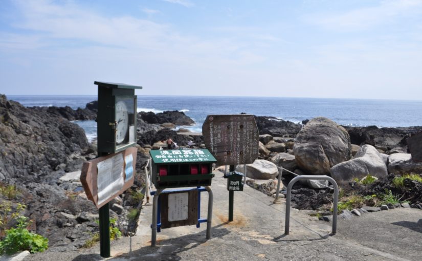
At the official website of the Yakushima Tourist Association and at each tourist information center, you can download free sightseeing maps of Yakushima and maps of climbing routes!
This will facilitate local travel and reduce the risk of getting lost.
↓Click here to read the article.
Check out Yakushima's sightseeing spots on the map.
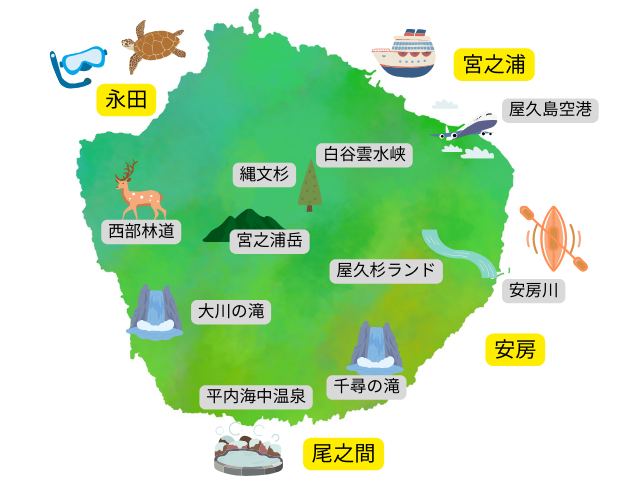
Yakushima has many tourist attractions.
By utilizing the map, these spots can be visited efficiently.
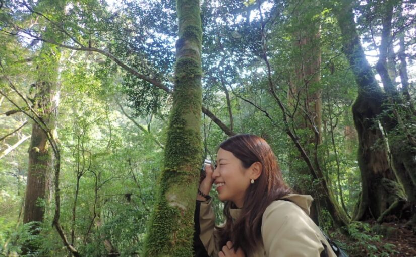
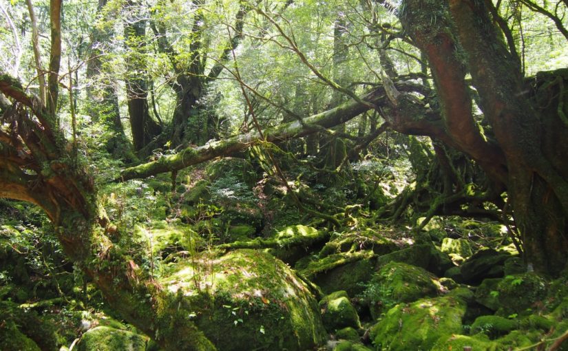
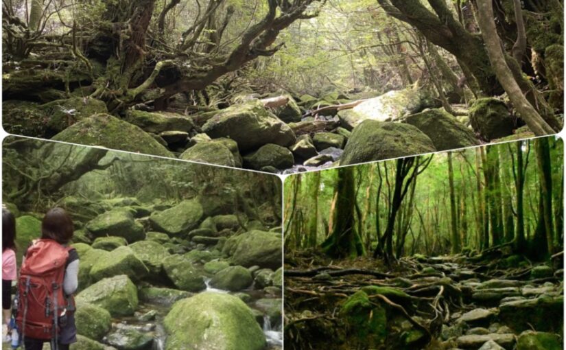
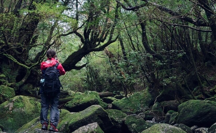
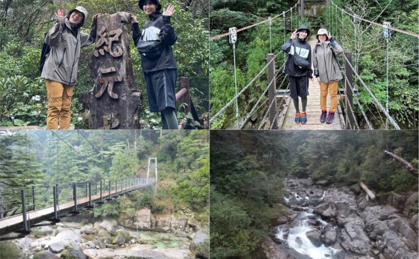
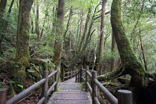
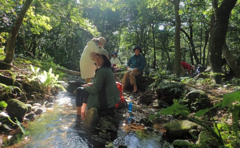
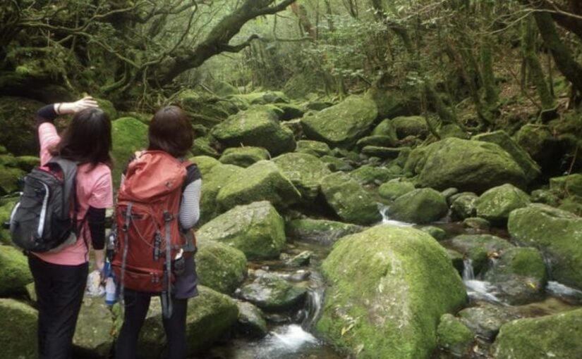
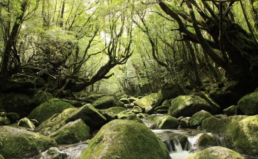
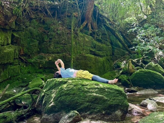
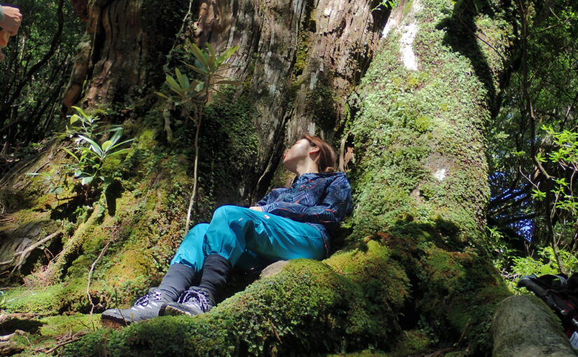
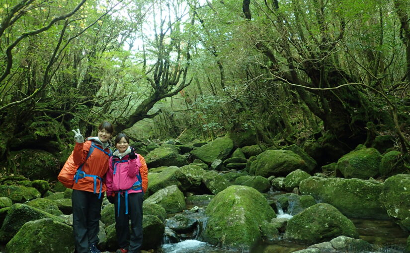
Shiratani Unsui Gorge (Shiratani Unsui Gorge)
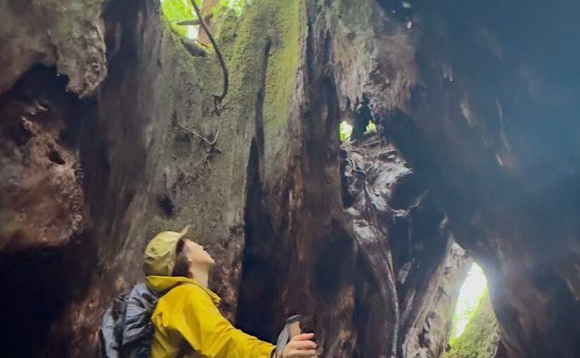
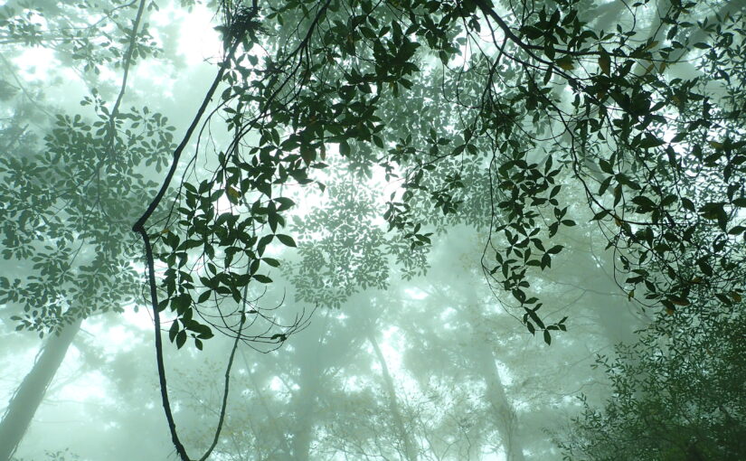
Shiratani Unsuikyo is a representative tourist attraction on Yakushima Island, with particularly beautiful natural scenery.
The trekking course through the forest of Yakusugi cedars is famous, and visitors can enjoy the charms of Yakushima while walking through nature!
By checking the map, you can see the details of the course and the location of the entrances, making it easier to plan your sightseeing.
Access: 30 minutes by car from Miyanoura Port
Click here for recommended tours of Shiratani-Unsui Gorge.
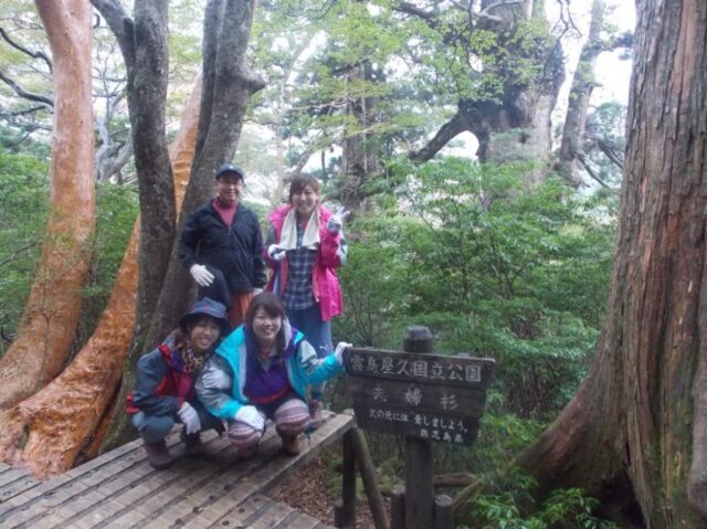
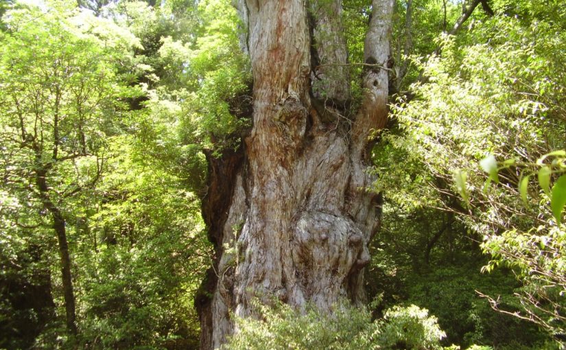
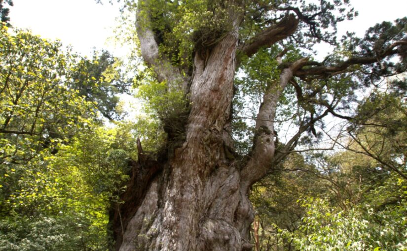
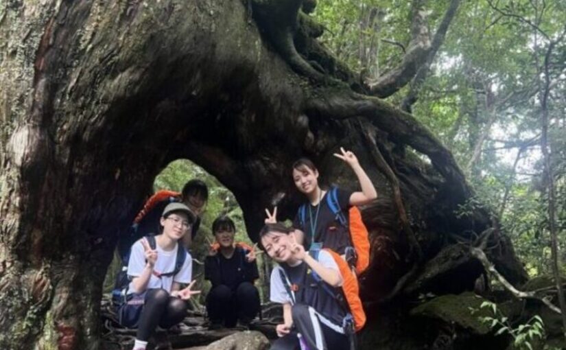
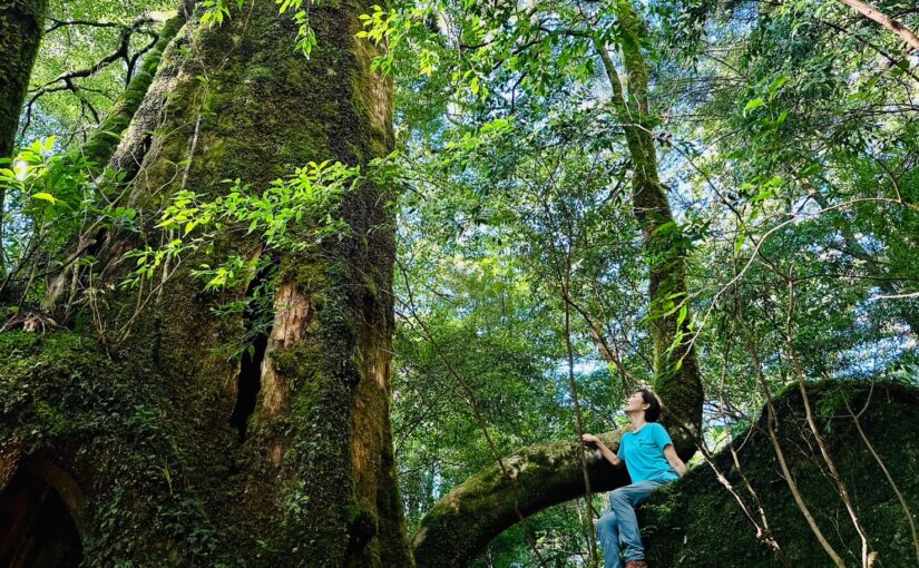
Jomon cedar (Cryptomeria japonica)
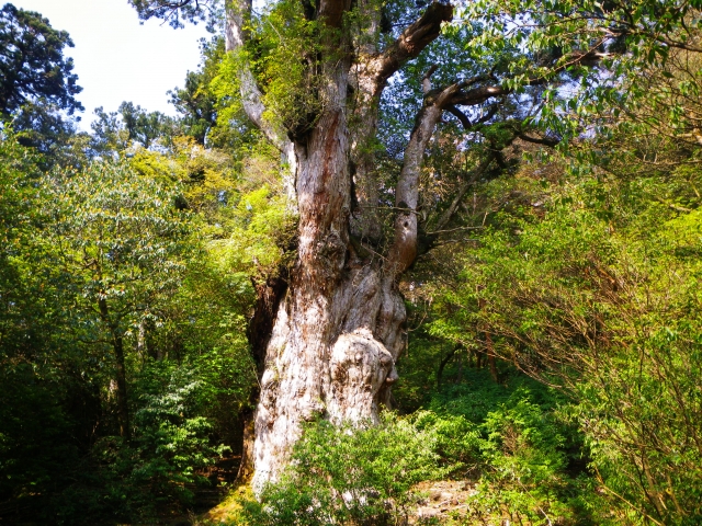
Jomon cedars are,One of the most famous tourist attractions on Yakushima, the world-famous Yakusugi cedar tree is said to be thousands of years oldIt is.
Because the trail to visit Jomon cedars is a long distance,It is important to choose a climbing route while carefully checking the map.It is!
Access: 5-6 hours on foot from Arakawa trailhead
Yakusugiland
Yakusugiland is,A place representing the rich nature of Yakushima, a beautiful forest lined with numerous Yakusugi cedarsIt is.
The map makes it easy to locate each sightseeing route and to tour it efficiently.
Especially the hiking trails,Popular with many tourists because they can see Yakusugi cedars while enjoying the scenery.It is!
Access: 1 hour by car from Miyanoura Port
Click here for recommended tours to Yakusugiland.
Western Forest Road
The Western Forest Road is,Area accessible by car on a natural road in the western part of Yakushima.It is.
It is also a place where many attractions can be reached, and a map can be used to identify points of interest along the Western Forest Road.
Access: 1 hour by car from Miyanoura Port
Click here for recommended tours to the Western Forest Road.
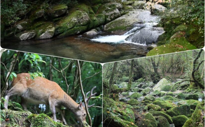
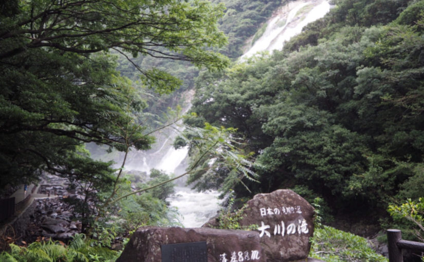
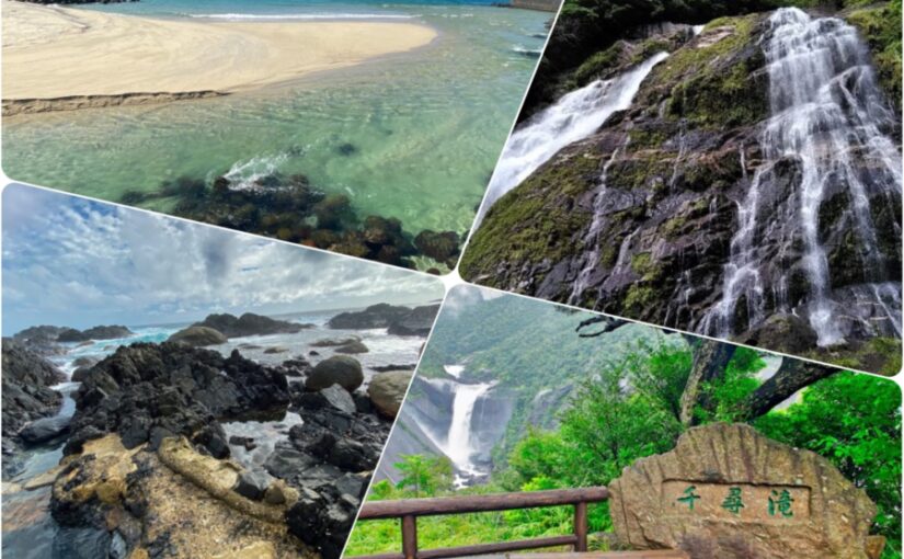
Okawa Falls
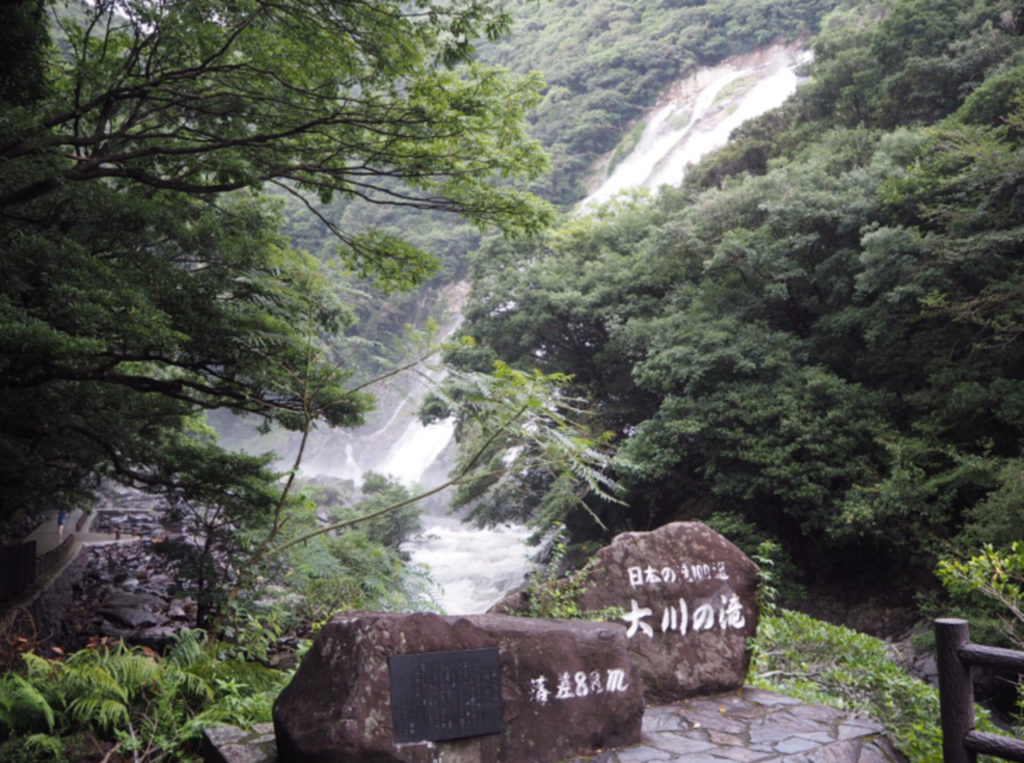
The Okawa Falls are,It is a famous waterfall on Yakushima Island, and its powerful waterfall scenery can be enjoyed!
Access to the waterfall can be facilitated by using the map to see exactly how to get there.
A walking trail is maintained around the waterfall, allowing visitors to experience nature along with sightseeing.
Access: 1 hour and 30 minutes by car from Miyanoura Port
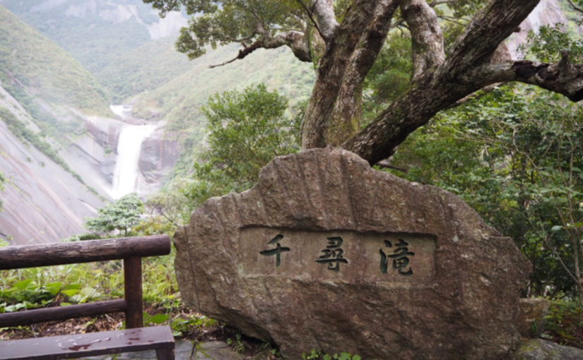
abundant natural beauty
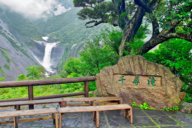
Chihiro Falls is one of the most famous waterfalls on Yakushima, with its beautiful water flow!
If you check the map and check the access to the falls, you will know the location of the trail and the parking lot, making your visit more efficient.
Access: 50 minutes by car from Miyanoura Port
↓Click here for recommended waterfall tours in Yakushima.
Hirauchi Kainaka Onsen
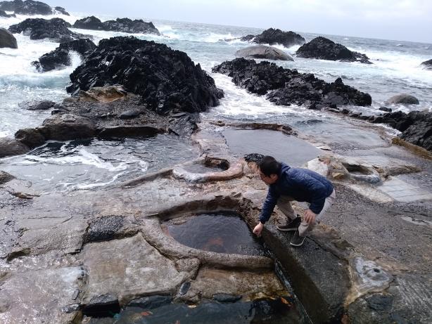
The Hirauchi underwater hot springs in Yakushima are,A unique spot where you can take a hot spring bath under the sea.It is.
By checking the entrance and access to the hot springs on the map in advance, you can avoid the crowds and enjoy the hot springs comfortably.
Access: 1 hour by car from Miyanoura Port
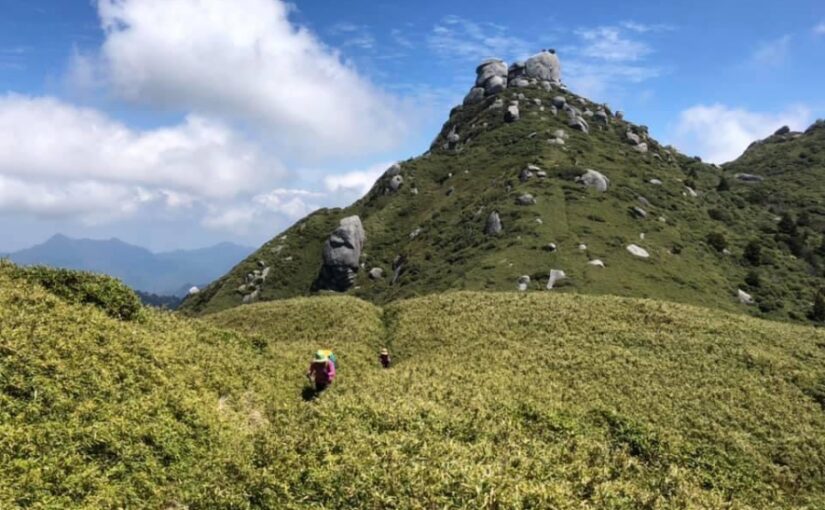
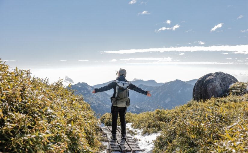
Let's look at a map of climbing routes in Yakushima.
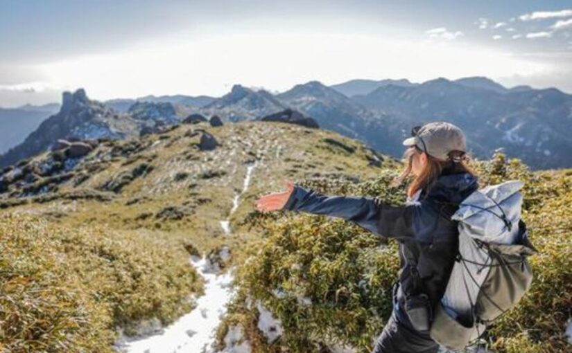
Yakushima is also a famous place for mountain climbing and is visited by many climbers.
Mapping out your climbing route allows you to choose a route that is safe and efficient.
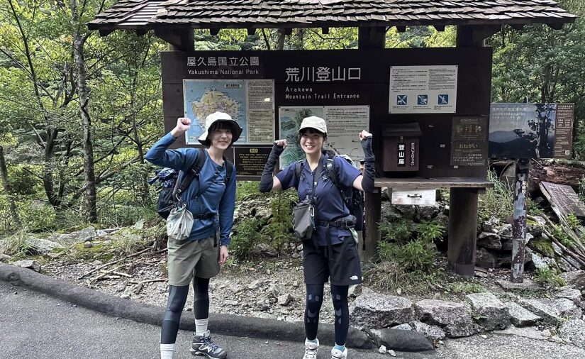
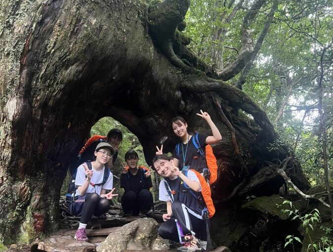
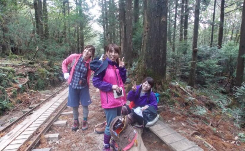
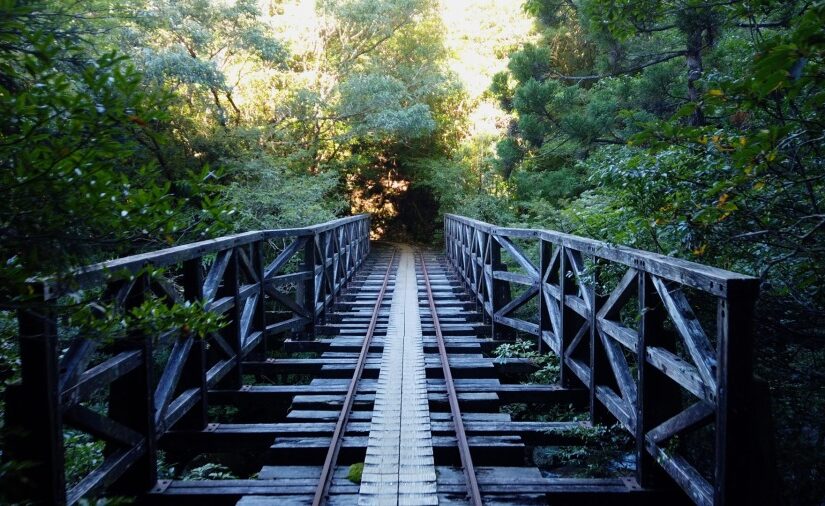
Jomon Cedar Course
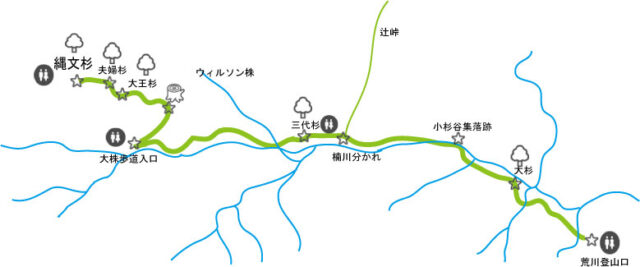
The Jomon Cedar Course is one of the most popular climbing courses on Yakushima.
The main route for climbing Jomon cedars is,22 km round-trip course starting from the Arakawa trailhead and proceeding along the trolley road.It is!
This route has an elevation gain of about 700 meters and takes about 5 to 6 hours one way,Round trip takes about 10-12 hours.It will take
It is a good idea to get a map and make sure you are familiar with the climbing route.
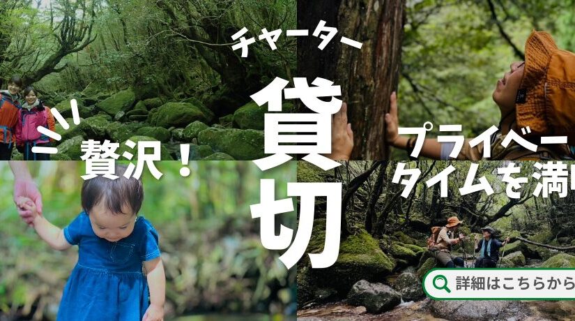
Click here for recommended private tours
↓Click here to read the article.
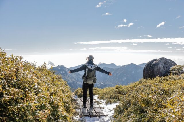
Miyanoura course
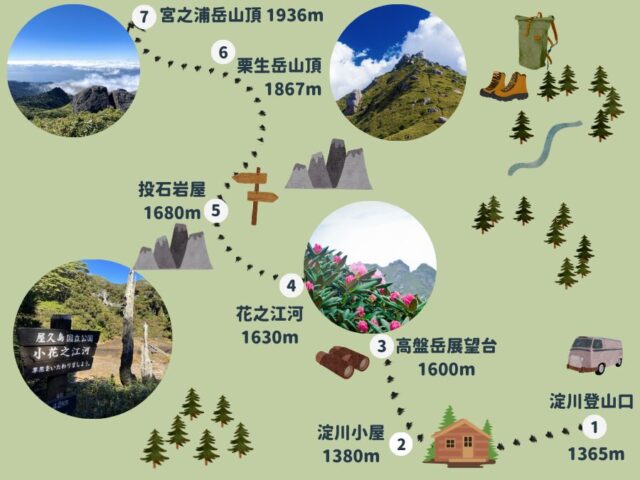
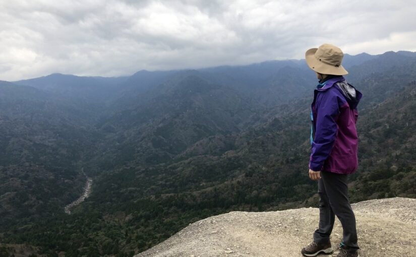
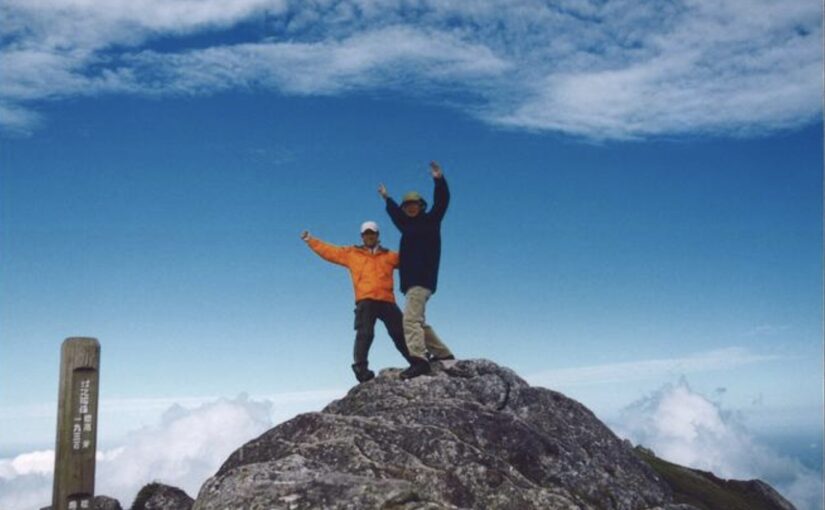
Miyanoura-dake is,The highest peak on Yakushima Island and a major goal for climbersIt is.
This course is also a long distance and it is important to check the details of the route on a map while climbing.
From Miyanoura-dake, you can enjoy a magnificent view of Yakushima.
↓Click here to read the article.

↓Click here for recommended trekking
↓Click here for the route plan from the Yodo River trailhead.
↓Kuromidake event! Click here for recommended plans
Yakushima Mountain Climbing/Trekking Tour Ranking
3 recommended activities in Yakushima
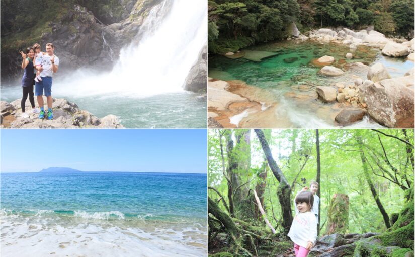
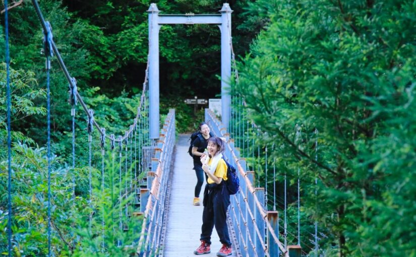
Yakushima offers not only sightseeing but also a variety of activities.
For example,A wide variety of activities to enjoy nature to the fullest, such as trekking, river rafting, and snorkeling on Yakushima IslandIt is.
By planning these activities in combination with the map, you can efficiently enjoy the attractions of Yakushima.
Yakushima Island
Click here for recommended tour ranking
Island Sightseeing and Eco-tour
Round-the-island tour led by a local guideYou can learn about culture, nature, and history in depth at
Recommended for those who want to fully enjoy Yakushima at a fixed time!
↓Click here for recommended eco-tours and sightseeing tours on the island.
Yakushima Eco & Island Tour Ranking
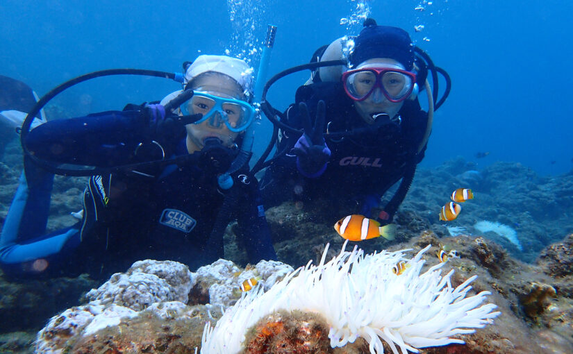
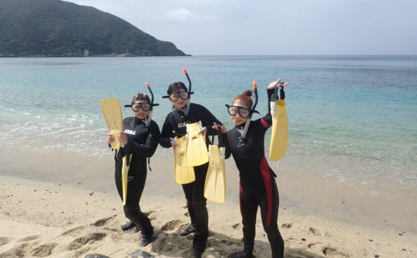
Snorkeling Tour
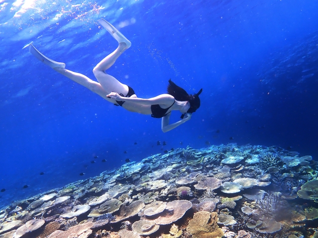
Visitors can observe tropical fish and coral reefs in the crystal clear waters of Shirahama and Ichinato. It is popular among beginners and families.
↓Snorkeling tour to see sea turtles

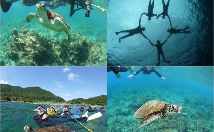
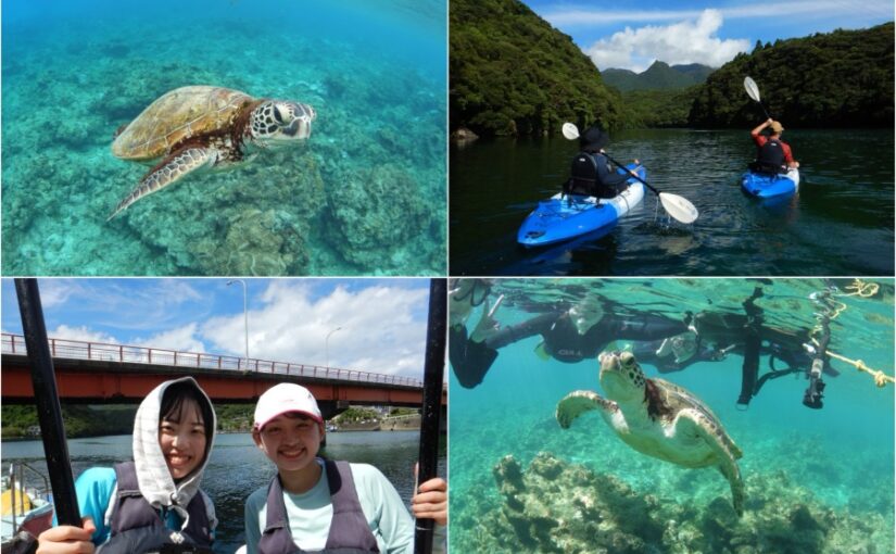
Yakushima Snorkeling Tour Ranking
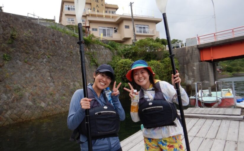
Kayak and Canoe Tours
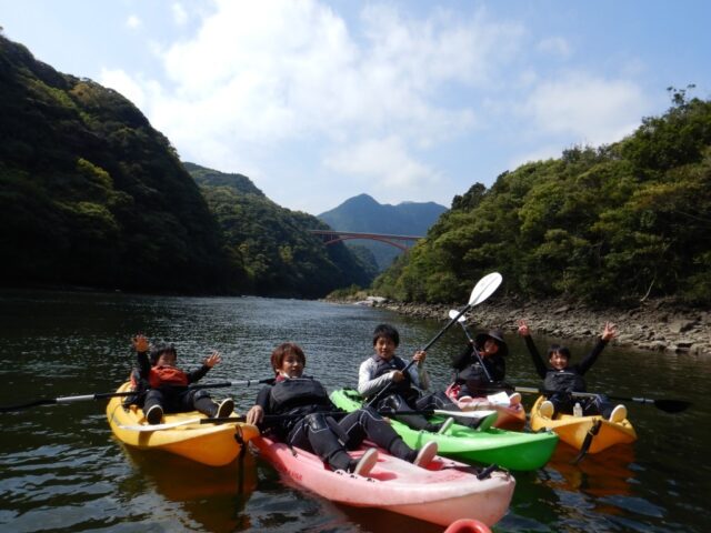
As you continue along calm rivers such as the Awa River, you can feel the harmony of Yakushima's forests and water up close.
↓Click here for recommended kayak and canoe tours.
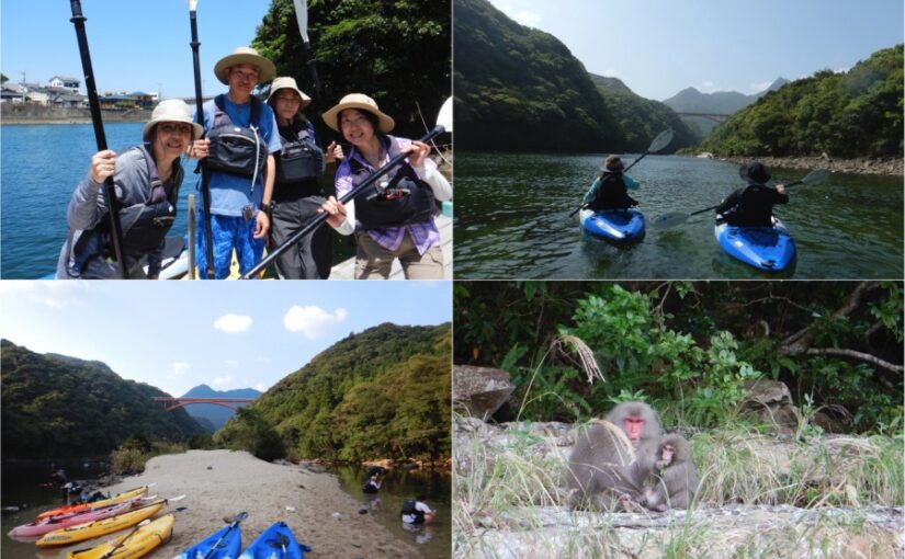
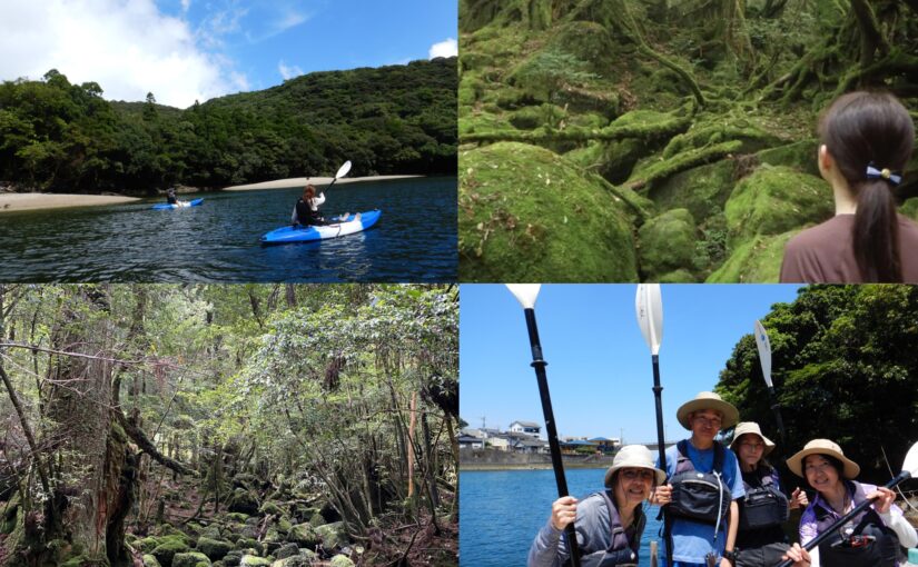
Yakushima Kayak and Canoe Tour Ranking
Frequently asked questions about the map of Yakushima
A sightseeing map of Yakushima can be downloaded from the Yakushima Tourist Association website. Maps are also available at local tourist information centers, airports, and ferry terminals. We recommend that you obtain a detailed map before setting out, especially when climbing mountains or exploring nature.
Yes, there are map apps available for free on Yakushima. For example, you can use Google Maps to locate tourist spots, or check climbing routes and detailed maps with a dedicated Yakushima sightseeing app. With these apps, you can easily navigate Yakushima with just one smartphone.
If you get lost while climbing a mountain, first stop calmly and check your current location using a map or app you prepared in advance. It is also important to look for signs and landmarks as the climbing routes on Yakushima are relatively well marked. The GPS function of your cell phone and map apps can also be helpful, but we recommend using them in conjunction with paper maps, as there are areas where there is no signal.
summary
Yakushima is an island with its wonderful nature and tourist attractions.
By making good use of maps, you will be able to efficiently explore the sights and climbing routes and enjoy a more fulfilling trip.
Use map apps and free downloadable maps to fully enjoy Yakushima.
↓Click here to read the article.


")
")
")

")
<br />(Symbol of Yakushima)")
")
")
<br />(The spectacular view of Shiratani-unsui Gorge)")
")
<br />(The largest river in Yakushima)")


")

")