


8 Must-Visit Mountains on Yakushima! Easy-to-Understand Explanations—From Names to Elevations, Maps, and Mountain Hut Information
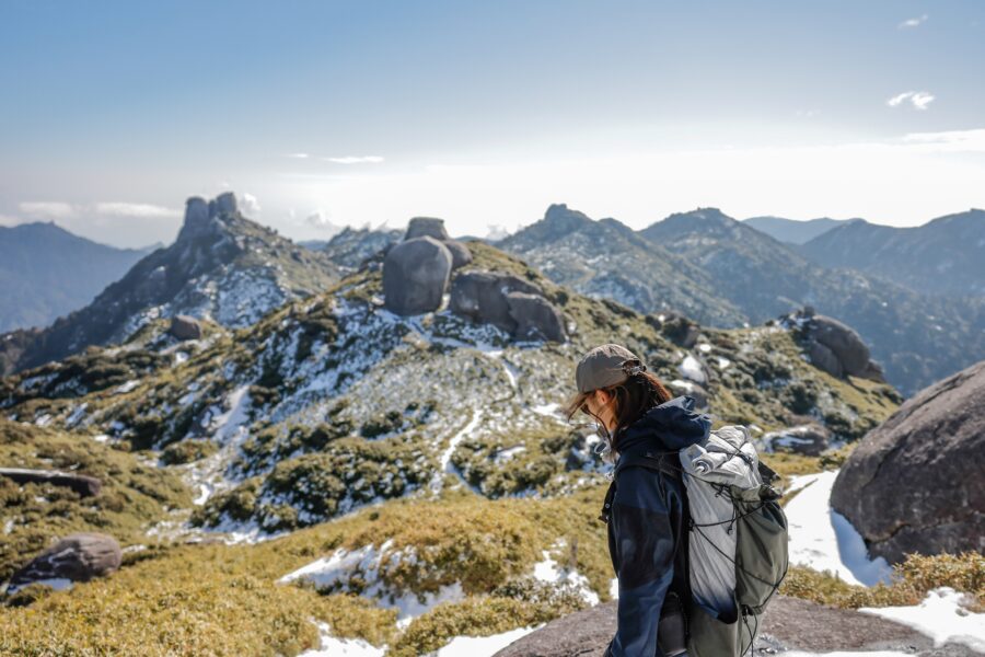
Yakushima is dotted with mountains, each with its own unique character!
Learn about elevation and other features to help plan your hike
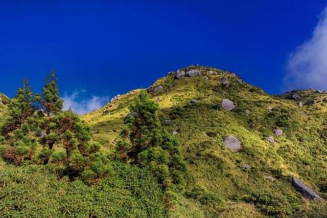
On Yakushima, starting with Mt. Miyanoura,Mountains with varying elevations and landscapes...are scattered here and there!
In this column, we’ve compiled an easy-to-understand summary of the names, elevations, maps, and mountain hut information for eight selected mountains on Yakushima.
Please use this as a reference when planning your hike.
◆For those looking for hiking trails suitable for beginners
◆For those who want to plan a hike on the Mt. Miyanoura or Jomon Sugi trails
◆For those who want to check information about mountain huts in advance
Recommended Tours on Yakushima
Click here to see the ranking
8 Must-Hike Mountains on Yakushima!
Introducing Features and Attractions by Elevation
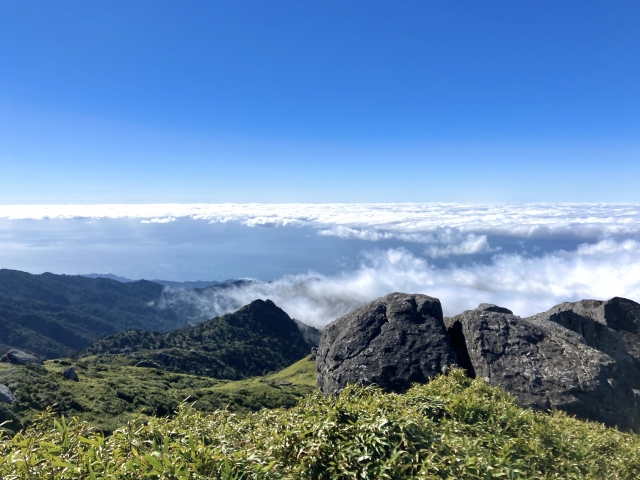
The mountains of Yakushima areVegetation and scenery change significantly depending on elevation.That's what makes it so appealing!
The landscape is so diverse that it’s hard to believe it’s all on the same island—with subtropical forests in the low-altitude zones and alpine plants unique to Yakushima in the high-altitude zones.
First, we’ll introduce eight representative mountains in order of elevation.
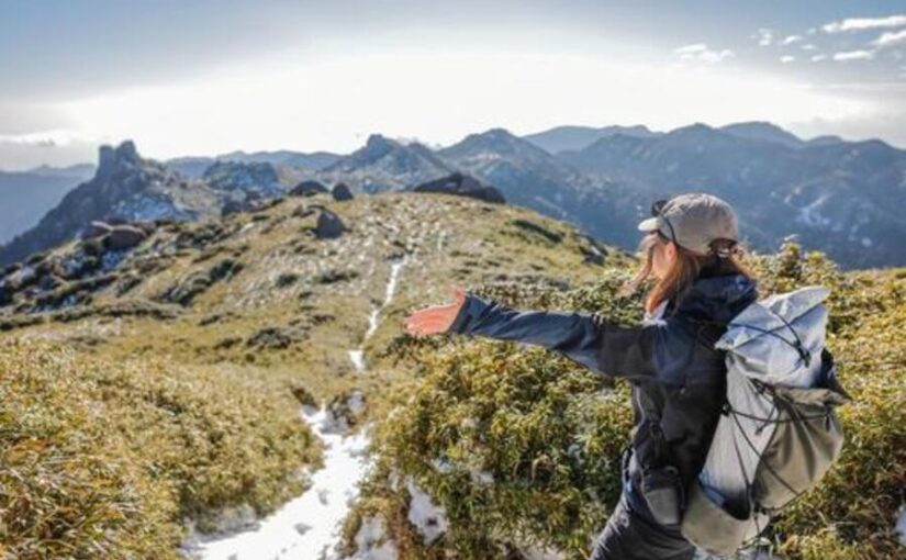
Mt. Miyanoura (1,936 m)
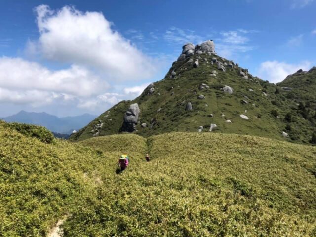
Mt. Miyanoura stands at an elevation of 1,936 meters,The Highest Mountain in KyushuIt is.
From the mountaintop, you can enjoy a panoramic view of the entire island of Yakushima, and if the weather is good, you can even see as far as Tanegashima!
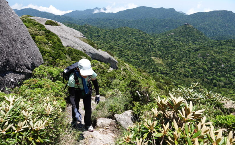
Another attraction is the opportunity to see endemic alpine plants, such as the Yakushima rhododendron.
The area near the summit is above the tree line, and even on Yakushima,A completely different landscapeIt’s safe to say this is a rare area where you can enjoy [...].
◆Access: About 1 hour by car from Yakushima Airport to the Yodogawa Trailhead; about 10–11 hours round-trip on foot from the Yodogawa Trailhead
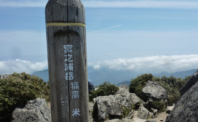
▼Click here for more details on climbing Mt. Miyanoura▼
Mt. Miyanoura Trekking Tour
Click here to see the ranking
Mt. Gaku Nagata (Elevation: 1,886 m)
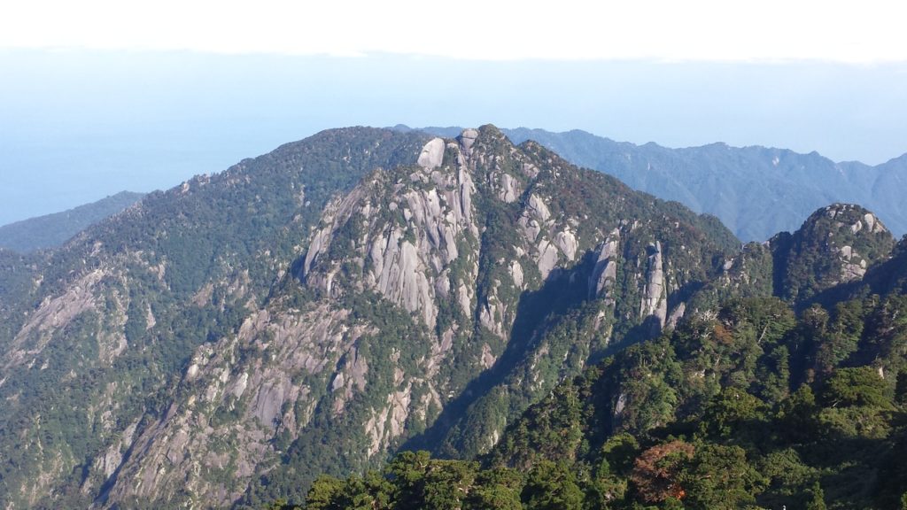
Mt. Nagata is second only to Mt. MiyanouraNo. 2 on YakushimaThis is Takamine.
It’s known for its jagged peaks, and the area near the summit is rocky, making for a challenging climb!
In particular, the route that combines a traverse of Mt. Miyanoura is very popular.
on a clear dayThe contrast between rugged rock faces and greeneryis magnificent.
Since the trail consists of rocky terrain, it’s a good idea to bring sturdy hiking boots and trekking poles for peace of mind.
◆Directions: About 1 hour by car from Yakushima Airport to the Yodogawa Trailhead; about 12 hours round-trip on foot from the Yodogawa Trailhead
Mt. Kurio (Elevation: 1,867 m)
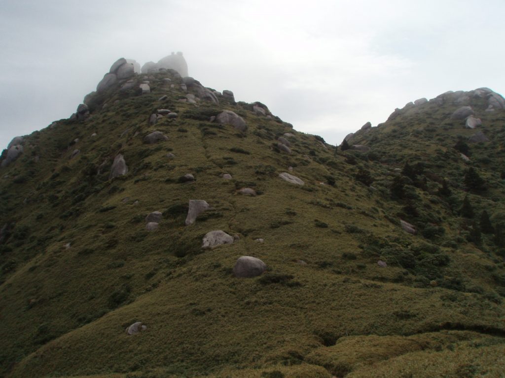
Mt. Kurio is a mountain located southeast of the summit of Mt. Miyanoura.
On Yakushima and in Kyushu3rd PlaceAlthough it is a high peak, it is not considered a separate mountain but rather a peak on the slope of Mount Miyanoura.
Since it lies along the trail to Mt. Miyanoura, it’s a peak you naturally pass through while on a traverse.
The surrounding area consists of open ridges, and it is close to the summit of Mt. MiyanouraMagnificent SceneryYou will enjoy the
◆Directions: About 1 hour by car from Yakushima Airport to the Yodogawa Trailhead
*Since this location is on the Mt. Miyanoura–Mt. Nagata traverse route starting from the Yodogawa trailhead, there is no access route for solo hikers.
Mt. Awa (Elevation: 1,847 m)
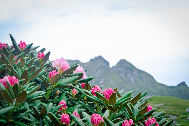
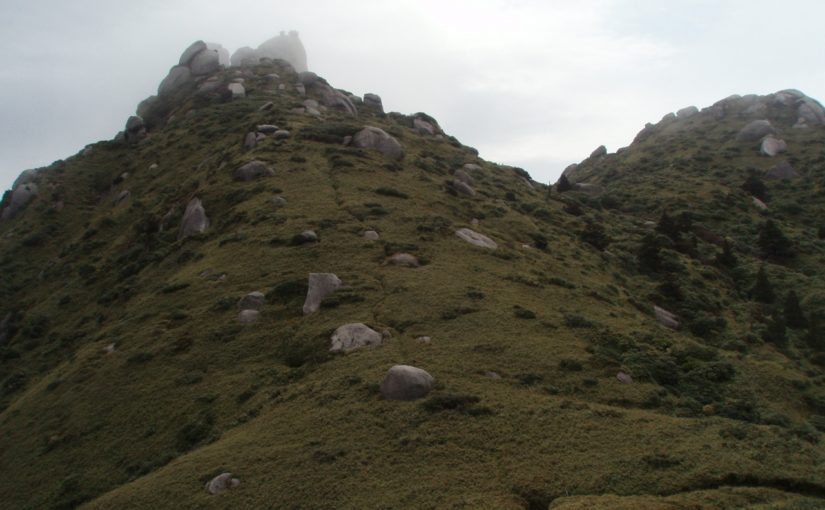
Mount Awa, like Mount Kurio,A mountain located along the Miyanoura-dake traverse routeIt is.
It is rarely climbed on its own; rather, it is known as a peak that hikers pass through on their way to Mount Miyanoura or Mount Nagata.
Many hikers stop here to take a break while on a traverse.
The surrounding area is a mix of wooded areas and bamboo grasslands, andIts appearance changes with the seasonsThat's one of the highlights, too!
◆Directions: About 1 hour by car from Yakushima Airport to the Yodogawa Trailhead
*Since this location is on the Mt. Miyanoura–Mt. Nagata traverse route starting from the Yodogawa trailhead, there is no access route for solo hikers.
Mt. Kuroi (1,831 m)
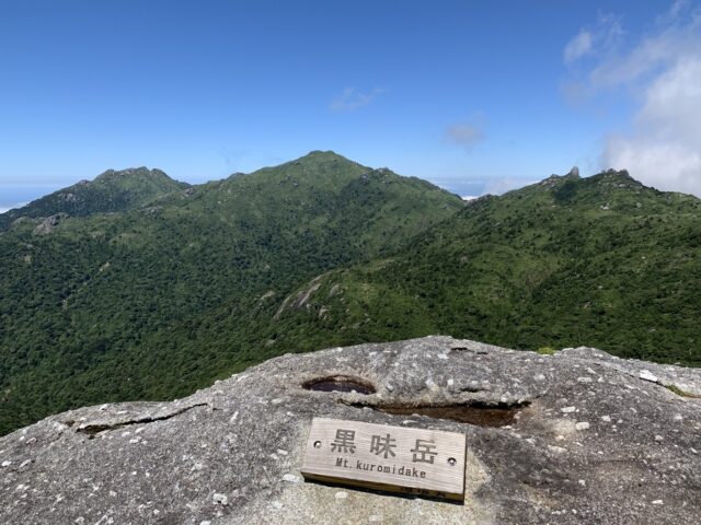
Mt. Kuroi, along with Mt. Miyanoura and Mt. Nagata, is known as the “Three Peaks,” and100 Famous Mountains of KyushuA famous mountain that has also been selected as one of the top [...].
The mountaintop is a granite outcrop, offering a spectacular view of Yakushima’s mountainous landscape.
The area around the Hana-no-E River is covered in wetlands, and along the trail to the summit as well,A quiet and peaceful atmosphereYou'll be able to enjoy it.
◆Directions: About 1 hour by car from Yakushima Airport to the Yodogawa Trailhead; about 6 to 7 hours round-trip on foot from the Yodogawa Trailhead
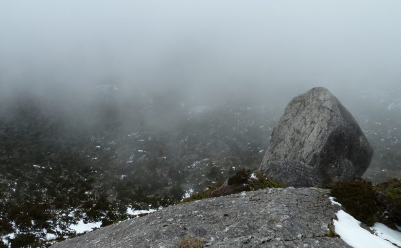
▼Click here for more details on climbing Mt. Kuromi▼
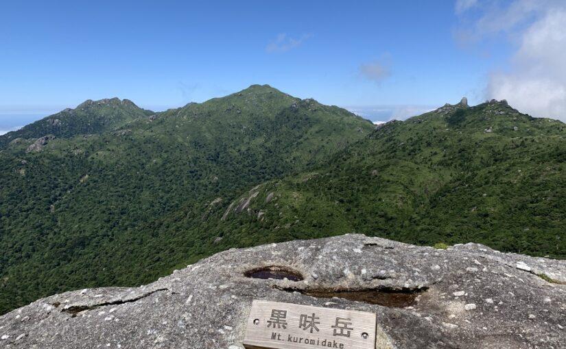
Click here for the Kuroi-dake Tour Rankings
Mt. Taichu (Elevation: 1,497 m)
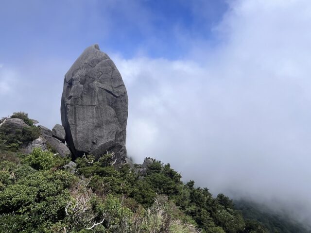
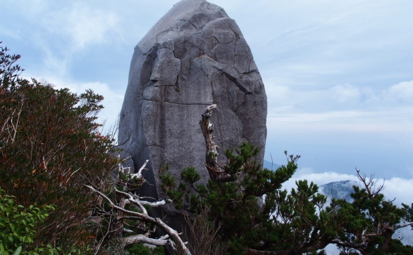
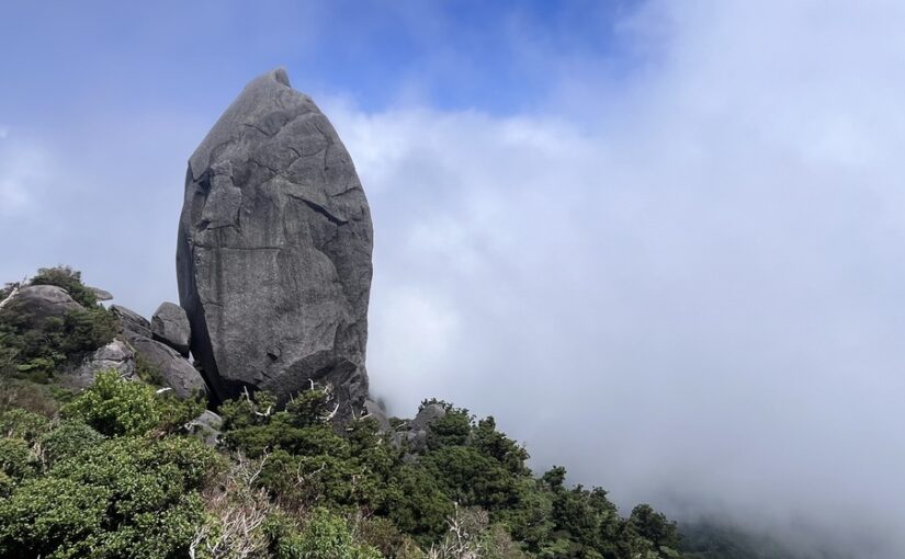
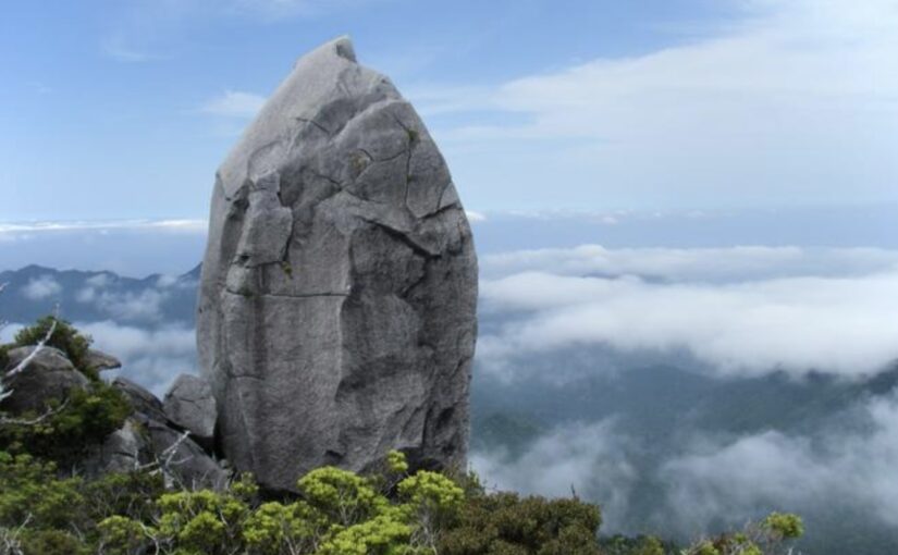
Mt. Taichu is a giant rock at its summitTianzhuang Stone.It is a mountain known for...
Located a short distance from the Jomon Sugi Trail, this spot offers a close-up view of unique rock formations.
There are relatively few hikers, andFor those who want to enjoy a quiet hike in the mountainsI'd recommend it for that, too.
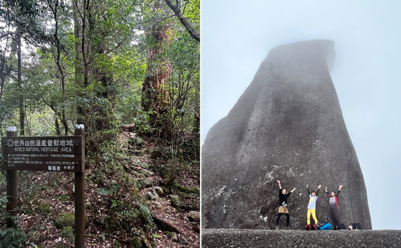
When you stand beneath the Tenchū-ishi, you’ll be overwhelmed by its size and grandeur.
◆Directions: About a 45-minute drive from Yakushima Airport to the Yakusugi Land entrance; the round-trip hike from the Yakusugi Land entrance takes about 6 to 7 hours.
▼Click here for more information about Mt. Taichu▼
Mt. Taichung Trekking Tour
Click here to see the ranking
Mt. Aiko (Elevation: 1,235 m)

Mt. Aiko is on Yakushima Island'sA Mountain Packed with CharmIt is!
From the mountaintop, you can enjoy a sweeping, open view all the way to the ocean, taking in the contrast between the deep forest and the blue sea all at once.
Although it is located relatively close to the trailhead,The Rich Natural Beauty That Defines YakushimaAnother appealing aspect is that you can fully savor it.
Once you reach the summit, you’ll feel a sense of accomplishment as you look back on the path you’ve walked so far.
◆Directions: About a 10-minute drive from Yakushima Airport to the Mt. Aiko trailhead; about 6 to 7 hours round-trip on foot from the Mt. Aiko trailhead
▼Click here for more details on climbing Mt. Aiko▼
Mount Motchom (940 m above sea level)
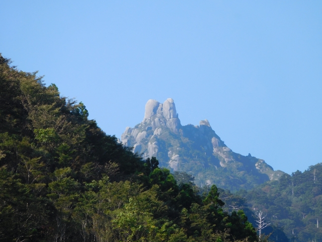
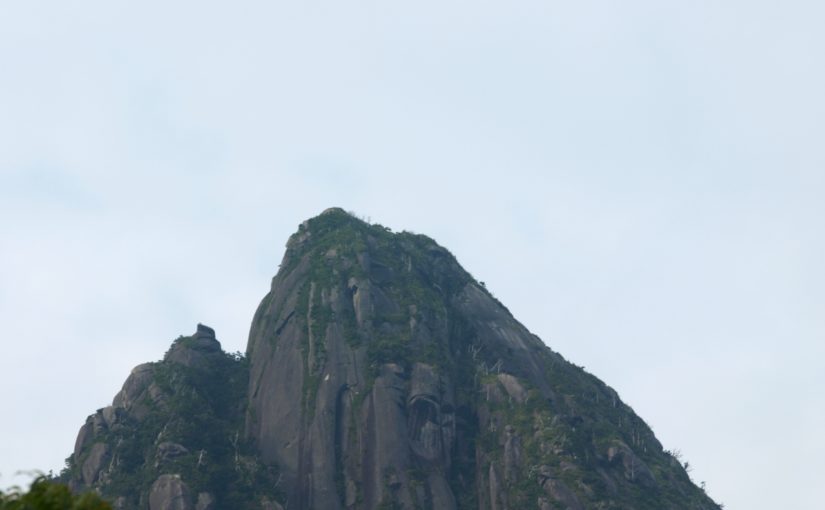
Although Mount Motchom (Mount Mototomi) has the lowest elevation of the eight peaks, it’s just as impressive to look at as any of the others!
The massive monolith that appears near the summit is clearly visible even from a distance, and because of its jagged silhouette,"The Matterhorn of the East"It is known by the nickname .
As you walk along, the forest will gradually change, shifting from subtropical greenery to the coniferous forests characteristic of Yakushima.
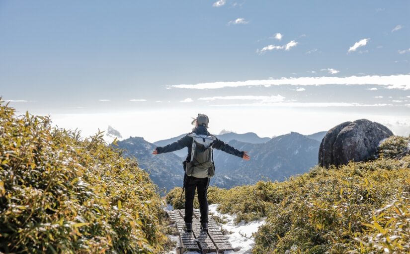
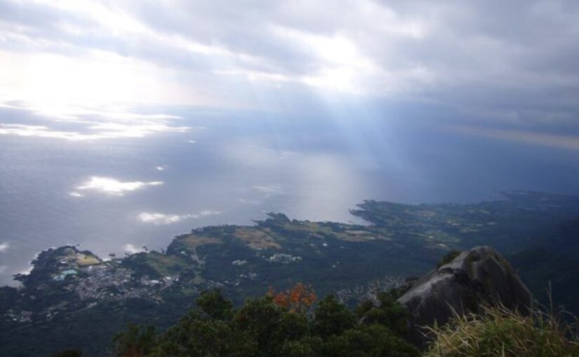
And when you stand on the rock at the summit, you can see all the way to the village and the ocean.Dynamic sceneryis waiting for you.
◆Directions: It takes about 30 minutes by car from Yakushima Airport to the Mount Motchom trailhead (next to the Chihiro Falls observation deck); the round-trip hike from the Mount Motchom trailhead takes about 7 to 9 hours.
▼Click here for recommended Mount Motchom tours▼
You can have fun even without reaching the summit!
Yakushima's Most Popular Hiking Trails
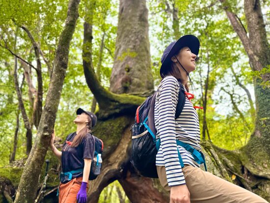
On Yakushima, you don't have to aim for the summit to...Enjoying Nature to the FullestThere are also plenty of treks suitable for beginners.
Here, we’ll introduce four courses that are particularly popular.
Those who are not confident in their physical strengthand ... andFamilies with childrenI'd recommend it for that, too.
Shiratani Unsuikyo—Moss-Covered Forest Trail
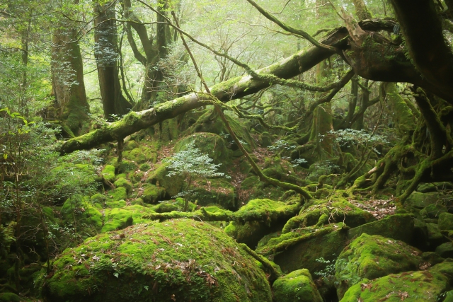
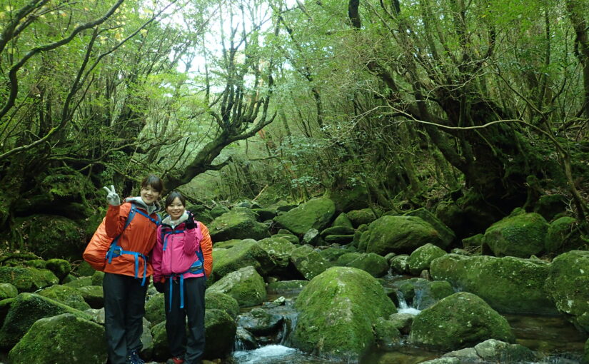
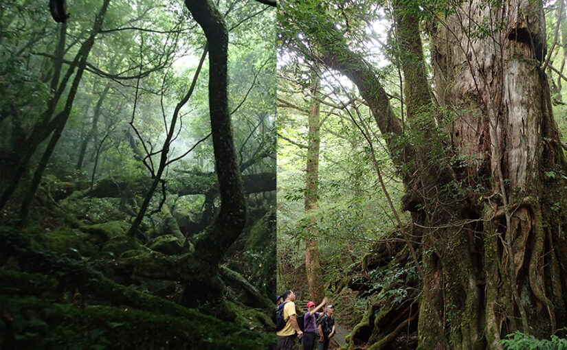
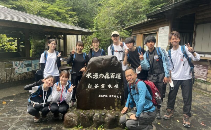
Shiratani-unsui Gorge isMossy forestIt is an area popular for its scenery.
Known as the “Princess Mononoke Forest,” this popular photo spot has a magical atmosphere!
It's relatively easy to walk on, andSeniors and families with childrenIt's also popular.
Another appealing feature is that, since there are several different routes, you can choose a course that suits your time and energy level.
◆Directions: About a 35-minute drive from Yakushima Airport
Hakutani Unsui Gorge Trekking Tour
Click here to see the ranking
▼Click here for our recommended Shiraya-Unsui Gorge tour▼
Jomon Sugi Hiking Trail
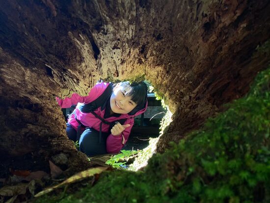
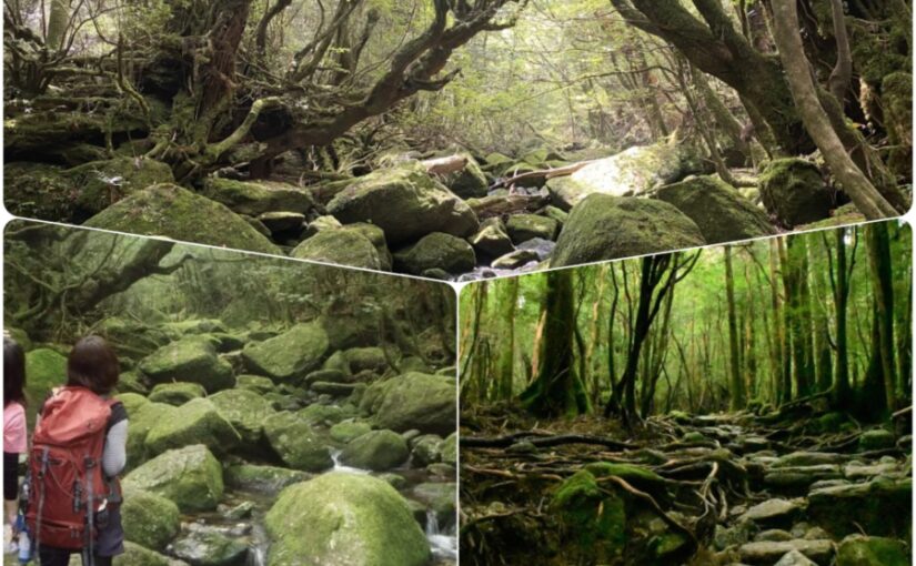
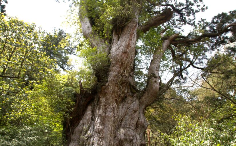
The Jomon Sugi Trail is a highlight of sightseeing on YakushimaPopular Hiking TrailsIt is.
Since the round trip from the Arakawa trailhead takes about 10 hours, it’s essential to set out early in the morning and build up your stamina.
On the road.Wilson Trees and Giant Cedar TreesThere are plenty of highlights, such as...!
Since access to the Arakawa Trailhead requires a bus that operates on a reservation-only basis, we recommend booking early, depending on the season.
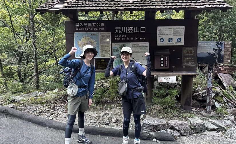
◆Directions: About a 20-minute drive from Yakushima Airport to the Yakusugi Nature Center; about a 40-minute ride on the hiking bus from the Yakusugi Nature Center to the Arakawa Trailhead bus stop; and about 9 to 10 hours round-trip on foot from the Arakawa Trailhead to Jomon Sugi.
Jomon Cedar Trekking Tour
Click here to see the ranking
▼Click here for our recommended Jomon Sugi tours▼
Yakusugi Land Hiking Trail
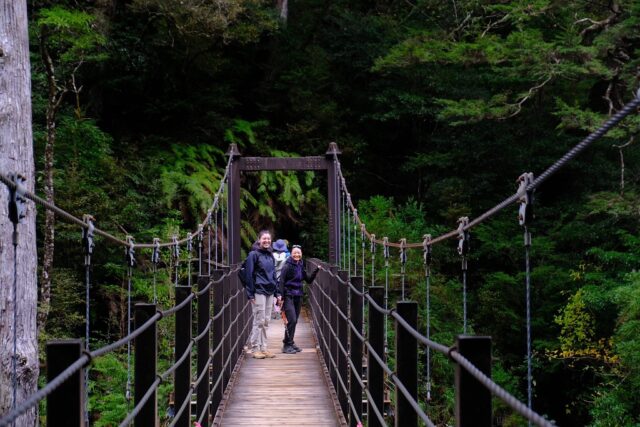
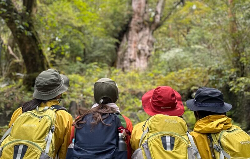
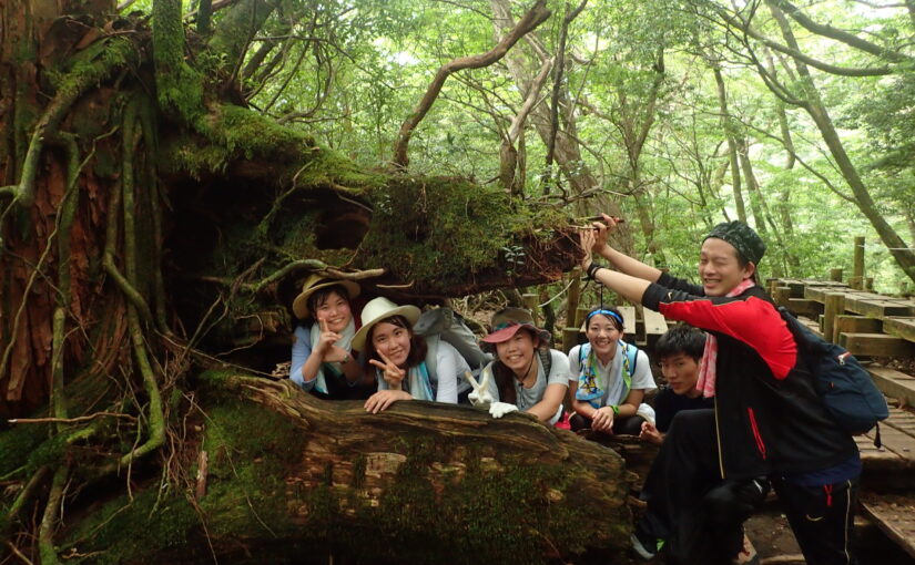
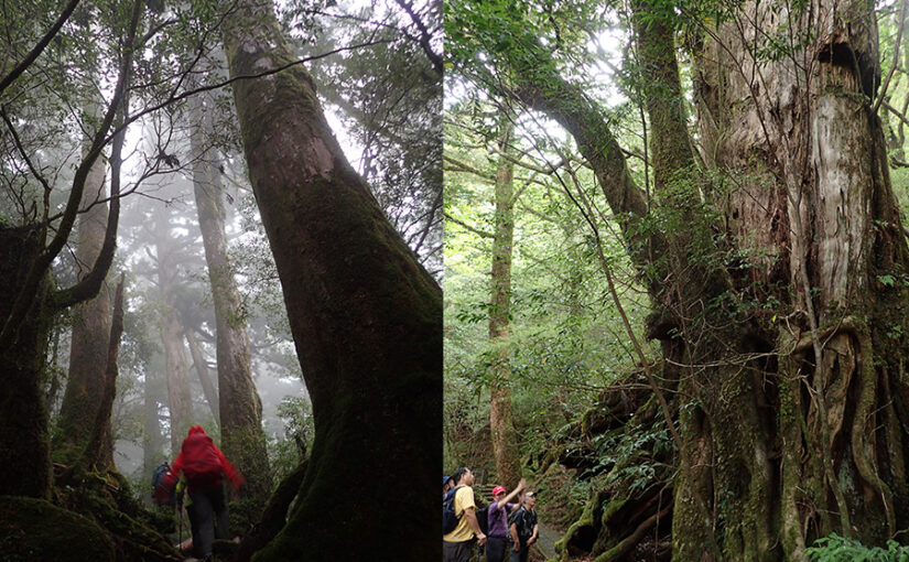
Yakusugi Land is said to contain trees that are thousands of years oldYakushima cedar (esp. one over 1000 years old)This is an area where you can observe them up close.
There are several course options available—30 minutes, 50 minutes, 80 minutes, 150 minutes, and 210 minutes—so you can choose the one that best suits your fitness level and schedule.
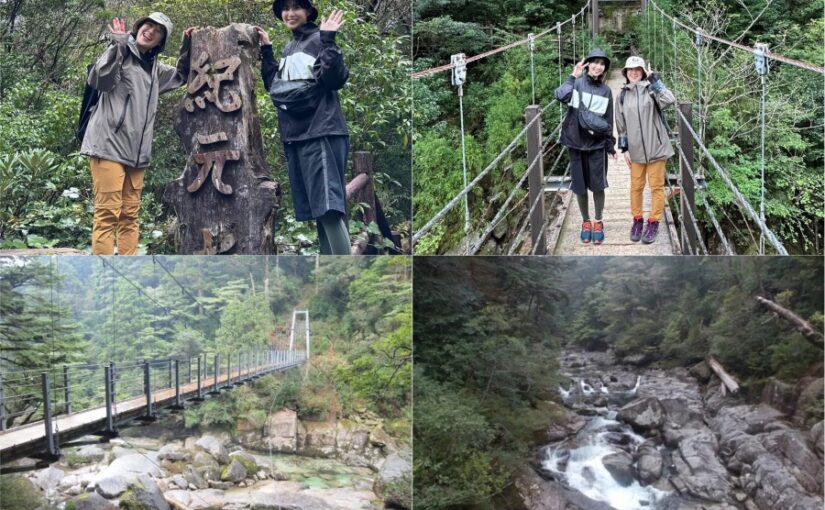
Since there are boardwalks and suspension bridges,First TimeBut the fact that they're comfortable to walk in is what makes them so appealing.
◆Directions: About a 45-minute drive from Yakushima Airport
Yakusugiland Trekking Tour
Click here to see the ranking
Yakusugiland Tour
▼Check out our recommendations here▼
Western Forest Road Hiking Trail
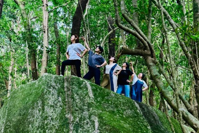
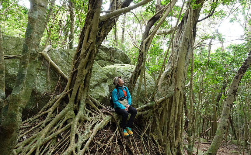
The Western Forest Road isworld natural heritage siteThis is a broad-leaved evergreen forest area in western Yakushima that is also listed on the [list].
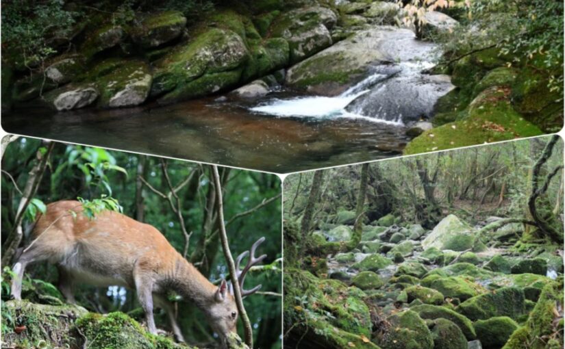
Yakushima Deer and Yakushima MacaquesIt is also known for its high likelihood of encountering wildlife.
Since this area still boasts unspoiled nature, it's perfect for anyone who wants to enjoy a quiet stroll.
◆Directions: About a 55-minute drive from Yakushima Airport
Western Forest Road Hiking Tour
Click here to see the ranking
▼Click here for recommended western forest road tours.
Choose by Purpose!
Yakushima Hiking Trail Assessment
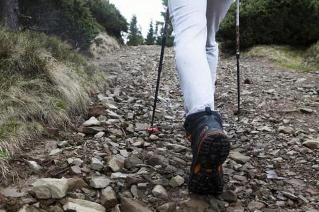
The mountains of Yakushima areEach Has Its Own CharmWe have a
Here, we’ve selected and will introduce three courses that we highly recommend based on your specific goals.
Please use this as a guide to help you choose the course that's right for you.
If you want to enjoy a sweeping panoramic view
Miyanoura course
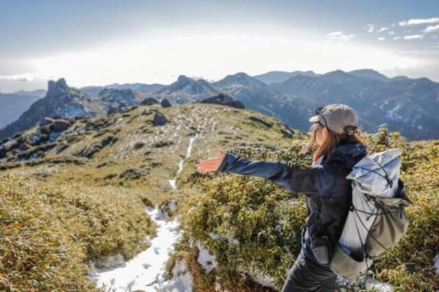
Mt. Miyanoura is the highest peak in Kyushu and a popular destination for many hikers.The Mountain of My DreamsIt is.
Along the ridgeline, an open landscape stretches out beyond the tree line, offering a view quite different from the deep forests so characteristic of Yakushima.
On a clear day, you can sometimes see all the way to Tanegashima, andFor those seeking breathtaking viewsI highly recommend it, especially for...
Mt. Miyanoura Trekking Tour
Click here to see the ranking
▼Click here for recommended Mt. Miyanoura tours▼
If you enjoy visiting power spots,
Taichudake Course
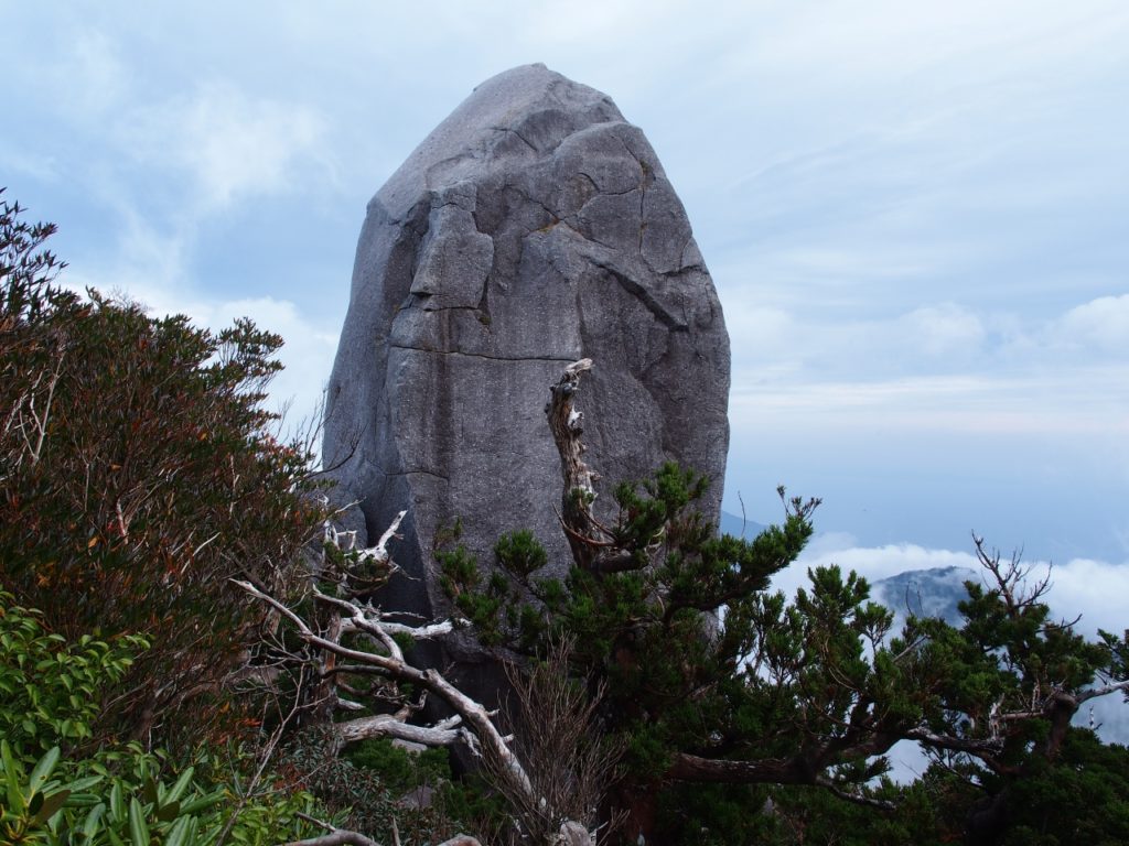
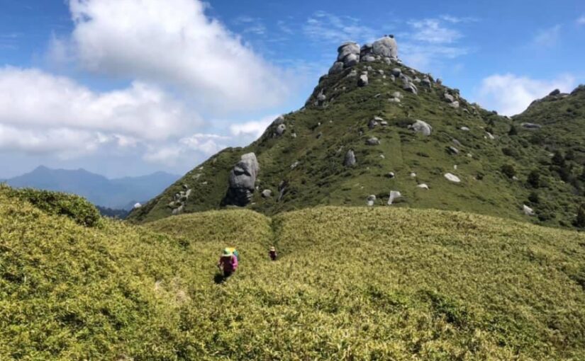
Mt. Taichu is a mountain located not far from the Jomon Sugi area.
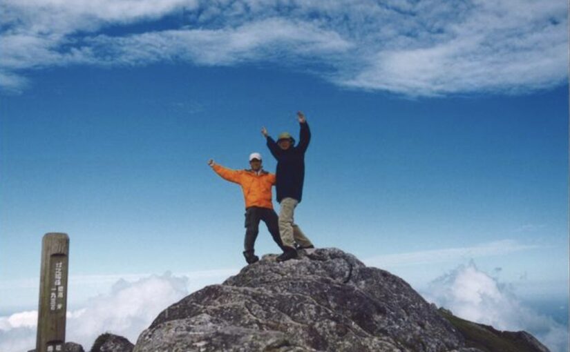
"Tenchū-seki," a massive monolith towering over the mountaintop, is one of the most notable sights on Yakushima.location thought to be flowing with mystical energyIt is known as the
When you stand beneath the rock, many people are overwhelmed by its size and grandeur—it’s the perfect spot for anyone who wants to soak up the mysterious atmosphere!
Mt. Taichung Trekking Tour
Click here to see the ranking
▼Click here for our recommended Mount Taichu tours▼
If you want to be soothed by nature
Shiratani Unsuikyo—Taiko-iwa Trail
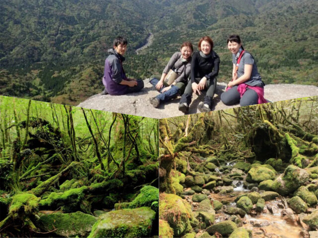
Shiratani Unsuikyo is home to vast moss-covered forests and is one of the top destinations on Yakushima.Relaxation SpotsIt is.
Unlike serious mountaineering, where the goal is to reach the summit, the appeal here is the chance to take a leisurely walk through the quiet forest.
If you make your way to Taiko Rock, you can experience the essence of Yakushima even without reaching the summit.Grand PanoramaYou can enjoy the
Taiko-iwa Hiking Tour
Click here to see the ranking
▼Click here for recommended tours to Taiko Rock▼
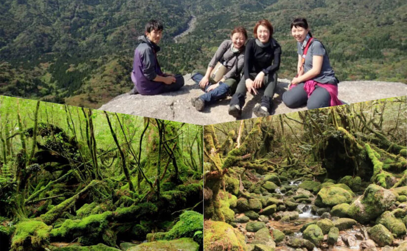
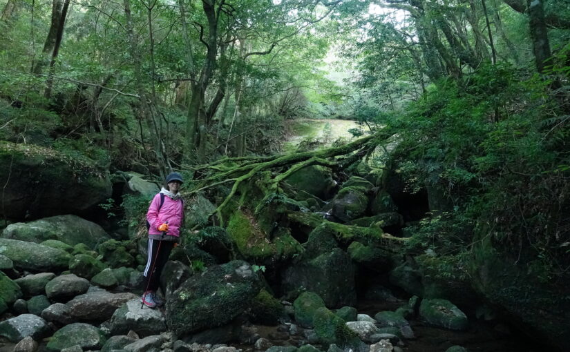
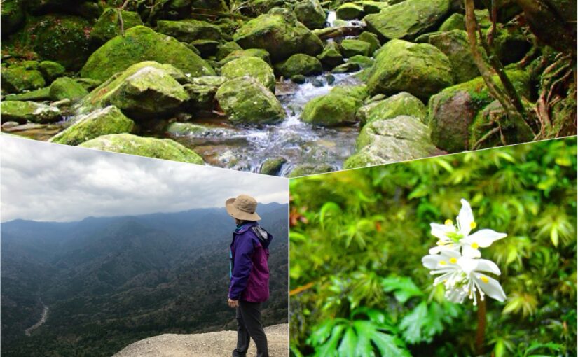
Choose by Difficulty!
Guide to Hiking and Trekking Trails on Yakushima Island
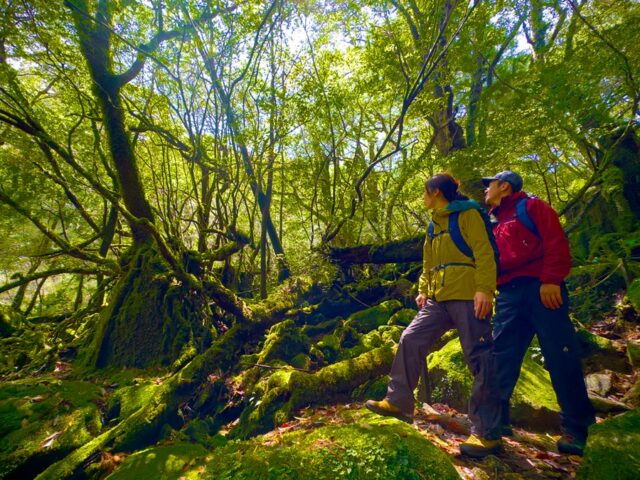
Here, we’ll introduce three courses, ranked by difficulty so you can choose the one that’s easiest for you to tackle.
Within reasonable limitsSo let's take it to the next level.
[For Beginners]
Starting with the Shiraya Unsuikyo Hike
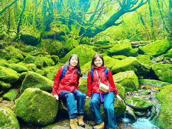
All of Yakushima's mountains are challenging to climb, so attempting a full-fledged hike right off the bat isThe bar is set a bit highIt is.
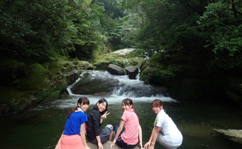
So, to get your feet wet, we recommend starting with a hike through Shiratani Unsuikyo!
It's a relatively gentle trail that winds through a moss-covered forest, andNature that is characteristic of YakushimaYou can easily experience it for yourself.
Once you’ve gotten used to hiking in the mountains, why not take the next step and try your hand at serious mountaineering?
For Beginners] Yakushima Trekking Tour
Click here to see the ranking
Shiratani-Unsui Gorge Hiking Tour for Beginners
▼Check out our recommendations here▼
[For Intermediate Learners]
Get Used to Hiking at Mt. Kuroi
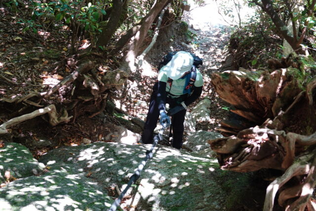
Mt. Kuroi is one of the hiking destinations on Yakushima IslandGateway to SuccessIt could be described as a mountain.
Although it is considered one of the easier mountains to climb on Yakushima, the trail includes sections with ropes and rocky terrain, so it requires a certain level of physical fitness.
From the mountaintop,A panoramic view of the mountain range centered on Mt. MiyanouraSure, I can do that.
Intermediate level] Yakushima Trekking Tour
Click here to see the ranking
▼Click here for our recommended Kuromi-dake tours▼
[For Advanced Users]
Taking on Mount Miyanoura, My Dream Goal
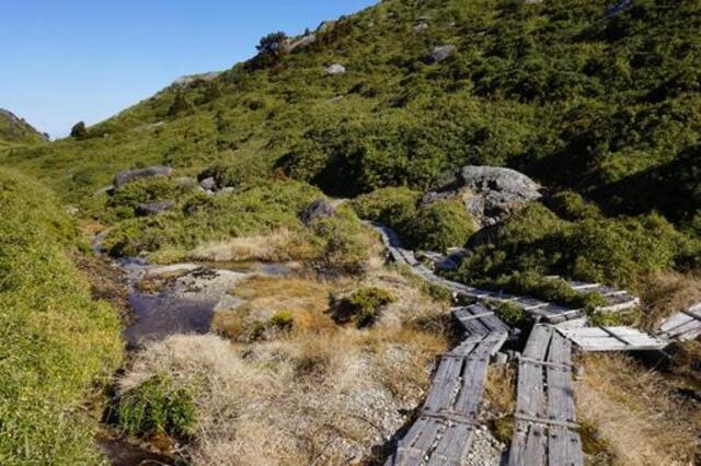
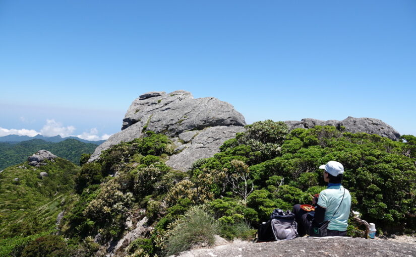
Mt. Miyanoura stands at an elevation of 1,936 meters,The highest mountain in KyushuIt is.
The hiking trail is long, so you need to be well-prepared in terms of both physical fitness and equipment.
That said, the panoramic view from the summit is arguably the highlight of any hike on Yakushima.superb viewIt is.
Yakushima Trekking Tour
Click here to see the ranking
Advanced-Level Mt. Miyanoura Tour
▼Check out our recommendations here▼
While Hiking on Yakushima
List of Available Mountain Huts
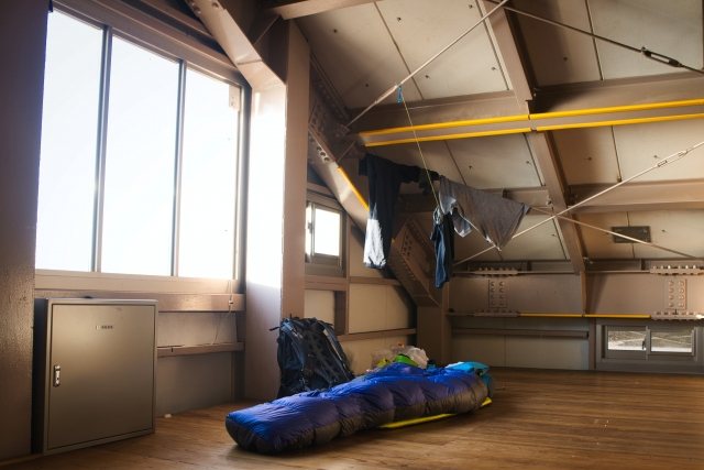
For long hikes, such as the Miyanoura-dake traverse,Mountain CabinIt is essential to use [...].
Here are the three main mountain huts.
Yodogawa Cabin
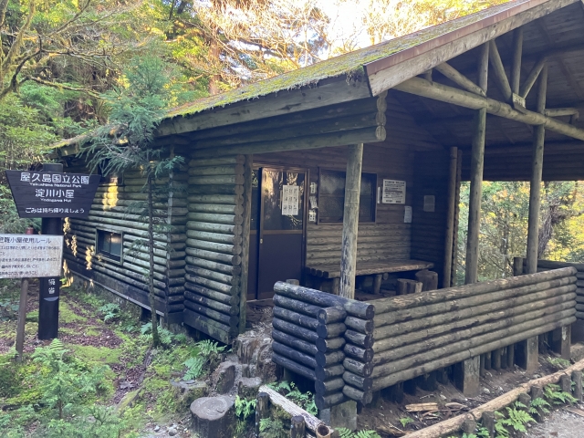
The Yodogawa Mountain Hut is a mountain hut located relatively close to the Yodogawa trailhead.
Many hikers use it as a starting point for climbing Mt. Miyanoura, andClose to a water sourceThat's another thing that gives you peace of mind.
No reservation is required, but we recommend arriving early during busy periods.
Restrooms have also been renovatedBecause of this, the facilities are designed to be relatively easy to use, even for first-time visitors staying at a mountain hut.
◆Directions: About a 55-minute walk from the Yodogawa Trailhead
Shin-Takatsuka Cabin
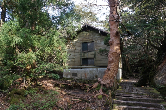
The Shin-Takatsuka Hut is a mountain hut located further in from the Jomon Sugi, along the traverse route toward Mt. Miyanoura.
It has been relatively recently renovated, andOvernight Stops on a Ridge HikeIt is used as...
This route is great for combining a visit to the Jomon Sugi with a traverse hike.
Since seating is limited,Sleeping bags and matsPlease make sure to bring any necessary equipment on your own.
◆Directions: About 2 hours and 40 minutes on foot from the summit of Mt. Miyanoura
Takatsuka Cabin
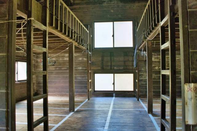
The Takatsuka Cabin isRight next to the Jomon SugiIt is a mountain cabin located in [location].
Many people who want to see the Jomon Sugi early in the morning stay here the night before.
Since capacity is limited, please try to arrive early.
The surrounding area isA boardwalk has been builtAs a result, it is an environment where traveling at night is relatively safe.
◆Directions: About a 10-minute walk from Jomon Sugi
About the Mountains of Yakushima
Frequently Asked Questions (FAQ)
For those new to serious hiking, we recommend the Shiraya Unsuikyo Trekking Course. It’s a relatively gentle trail where you can easily enjoy the distinctive forest atmosphere of Yakushima, so we suggest starting here to get your legs used to the terrain before tackling a hike to the summit.
While a day trip from the Yodogawa Trailhead is possible, a two-day, one-night trip involving an overnight stay at a mountain hut is the norm if you plan to hike a traverse route that includes Mount Nagata and Mount Kuromi. Be sure to plan your trip based on your physical condition and the weather.
Yes, on the Shiraya Unsuikyo and Jomon Sugi hiking trails, you can enjoy the forest scenery that’s so characteristic of Yakushima without having to reach the summit. These trails are also recommended for those who aren’t confident in their physical fitness and for families.
summary
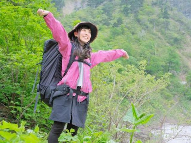
On Yakushima, starting with Mt. Miyanoura,Mountains with varying elevations and attractions...are scattered here and there!
Why not check out the hiking trails and mountain huts in advance and enjoy a mountain trek on Yakushima with a plan that suits you?
▼Click here for articles to read in conjunction with this article.

![[Yakushima · Private Tour] Led by a Female Guide! A Relaxing One-Day Forest Tour to Recharge Among Moss and Yakusugi Cedars](https://yakushima-tour.com/wp-content/uploads/2020/01/a0e0857e7f1ee70e49fee427cac12402-825x510.jpg)