
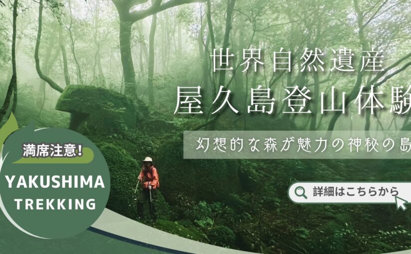
Yakushima-Kuromi-dake
What is Mt.
Kuromi-dake is a mountain located south of Miyanoura-dake, and is also called "Yakushima Sanzan (three mountains of Yakushima)" along with Miyanoura-dake and Nagatadake, and is one of the most popular and representative mountains of Yakushima.
This mountain is 1831 meters above sea level and has a ropeway, but the Yodogawa trailhead, the starting point of the climbing route, is already 1360 meters above sea level, so the elevation difference to the top is less than 500 meters, making it an affordable mountain for those with some experience in mountaineering to challenge.
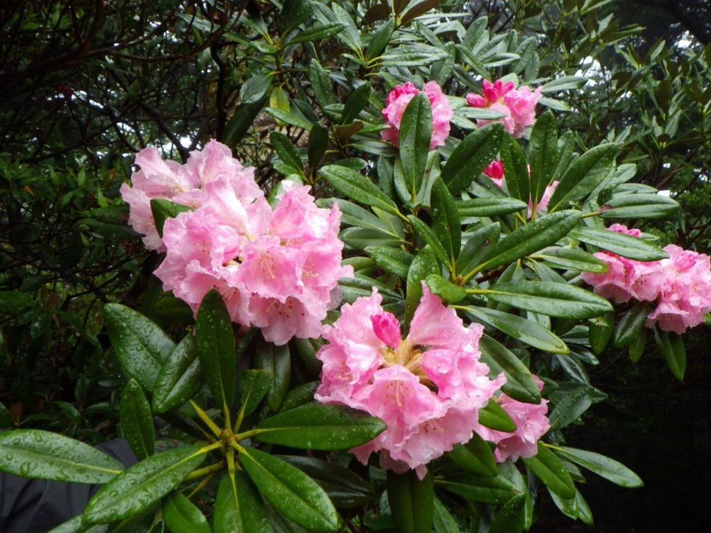
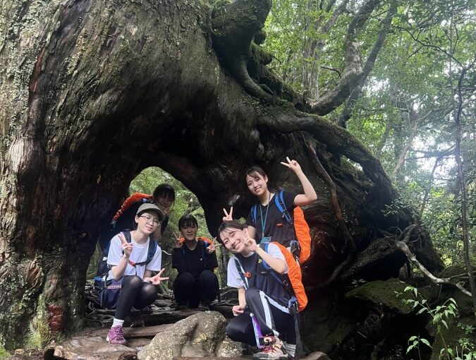
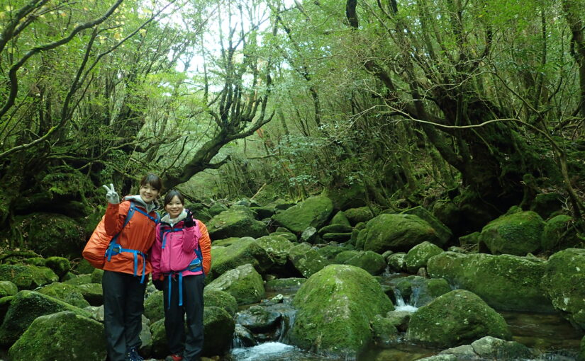
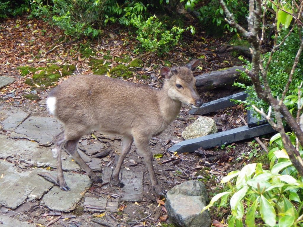
This mountain has a marshland called Hananogianghe (Hananogiang River), interesting to-fu rocks with unique shapes, and many lovely alpine plants endemic to Yakushima Island.
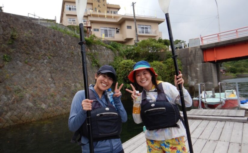
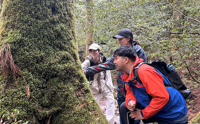
There are one-day guided tours that start early in the morning, arrive at the summit around noon, enjoy the whole day, and return to the lodge around dinner time.
Directions to Kuromi-dake
Kuromidake is located approximately 1 hour and 20 minutes by car from Miyanoura Port.
Leaving Miyanoura Port, take Route 78 southward for a nearly half-circumnavigation of the island.
Turn right at the second Y-junction after crossing the Kuromi River.
Follow the road for a while and you will arrive.
Details of Kuromi-dake (Mt. Kuromi)
| Location | Kamiyaku-cho, Yakushima-cho, Kumage-gun, Kagoshima Prefecture/Yakushima-cho(Kamiyaku-choView on Map) |
| Access | Miyanoura Port / Bus / 10 min. from Miyanoura Port / Bus / 10 min. from Kusunokawa trailhead - from Kusunokawa trailhead |
| parking lot | - |
| toilet | - |
| Business Hours | - |


")
")
")

")
<br />(Symbol of Yakushima)")
")
")
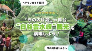
<br />(The spectacular view of Shiratani-unsui Gorge)")
")
<br />(The largest river in Yakushima)")


")

")