
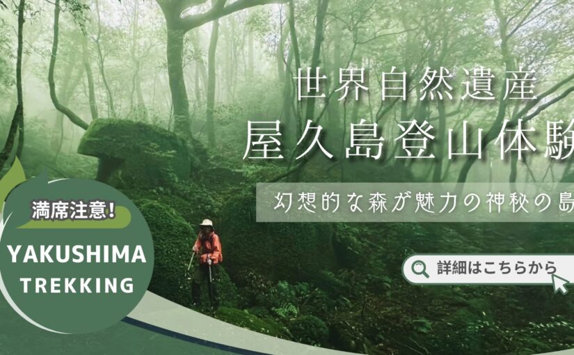
Which is the highest mountain in Yakushima? Introducing popular climbing spots including Jomon Cedars
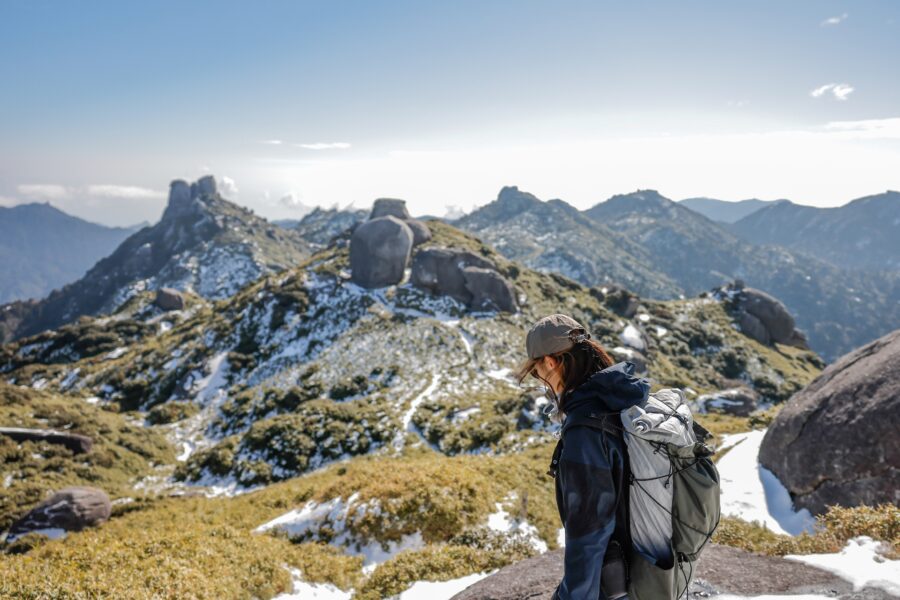
Table of Contents
- 1 Enjoy the nature of Yakushima!
- 2 What is the highest mountain in Yakushima?
- 3 Ranking of the highest mountains in Yakushima
- 4 The highest elevation in Yakushima Attraction of trekking on Mt. Miyanoura
- 5 Recommended climbing spots in Yakushima
- 6 Famous spots around 1300m elevation
- 7 High elevation mountains and typhoons in Yakushima
- 8 Clothing & personal belongings for climbing Yakushima
- 9 Activities that can be combined with mountain climbing
- 10 Q&A about high altitude mountains in Yakushima
- 11 summary
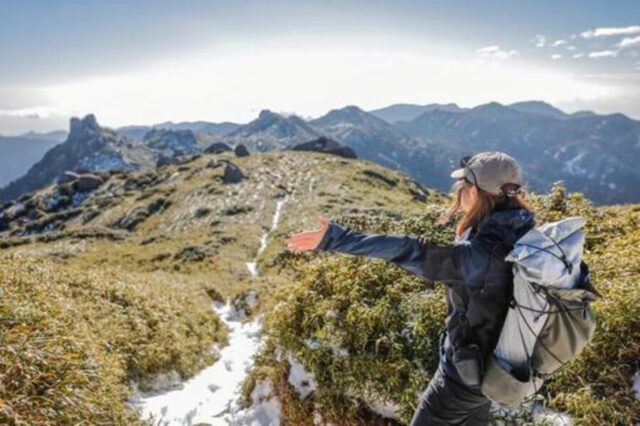
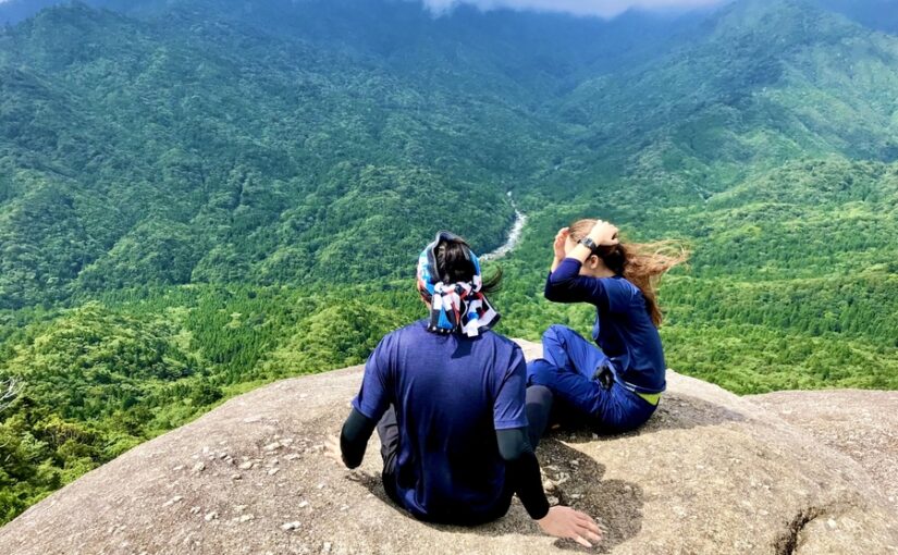
Enjoy the nature of Yakushima!

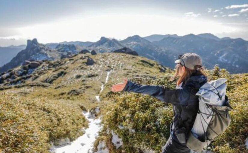
Yakushima is,Ideal place for people who like mountaineering and trekking due to its rich natureIt is.
Mountain climbing and trekking in the high mountains are essential to enjoy the nature of Yakushima.
Through trekking,The greatest attraction is that you can see animals, plants, and spectacular scenery that you cannot normally see.It is!
◆To learn about the World Natural Heritage attractions of Yakushima
◆For those who want to know about popular activities in Yakushima
◆If you want to know about high altitude mountains and climbing spots in Yakushima
↓ Watch an expert's commentary on Yakushima trekking

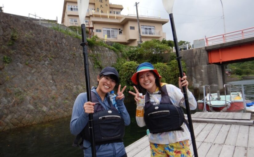
Yakushima Trekking Tour Ranking
What is the highest mountain in Yakushima?
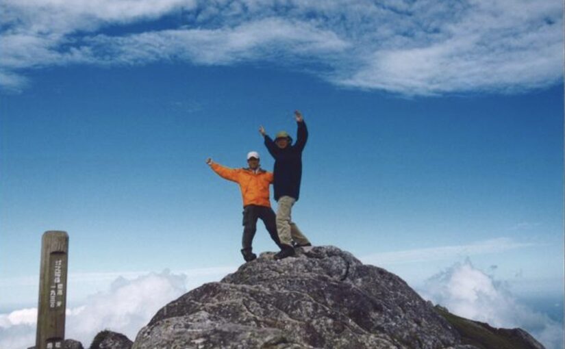
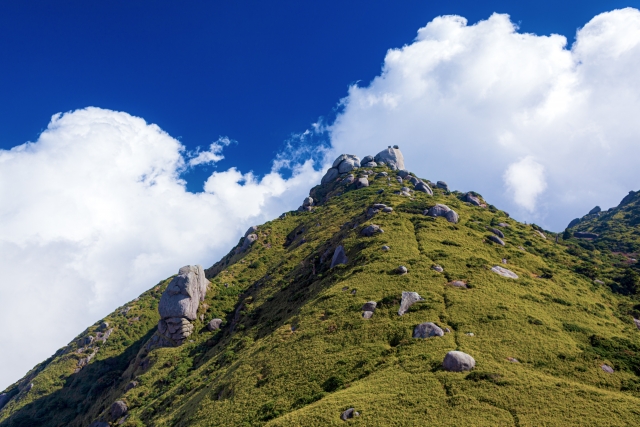
There are several high mountains on Yakushima, but theThe highest elevation is Miyanoura-dake (elevation 1936 m)It is.
This mountain is one of Yakushima's most famous and challenging routes for climbers.
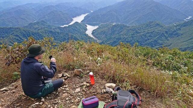
Miyanoura-dake is,Located in the center of Yakushima, the summit offers a spectacular view of the entire island!
Ranking of the highest mountains in Yakushima
Yakushima has many high altitude mountains.
Each of these mountains has its own distinct charm that attracts the interest of climbers.
Below is a ranking of the highest mountains on Yakushima.
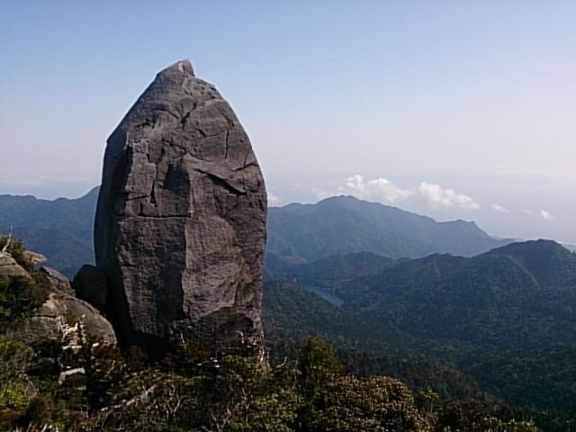
No. 1: Miyanoura-dake (elevation 1936 m)
It is the highest mountain on Yakushima and a famous representative of Yakushima. The spectacular view from the top attracts climbers.
No. 2: Nagatadake (elevation: 1886 m)
This is the second highest mountain after Miyanoura-dake and is more difficult to climb, but the scenery is spectacular.
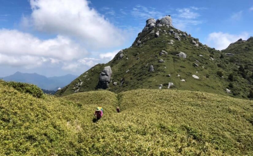
No. 3: Mt. Kuromi (elevation: 1831 m)
From the summit, climbers can see the sea to the east of Yakushima, providing a wonderful view of the island.
No. 4: Taichudake (elevation: 1497 m)
Located in the eastern part of Yakushima, this mountain has well-maintained trails and is easy for beginners to challenge.
No. 5: Aiko-dake (elevation: 1235 m)
Located in the northeast of Yakushima Island, this famous peak has been selected as one of the 100 most famous mountains in Kyushu.It is also popular among tourists.
Yakushima Trekking Tour Ranking
Highest elevation in Yakushima
Attraction of trekking on Mt.
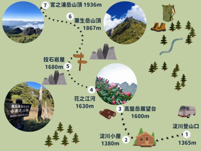
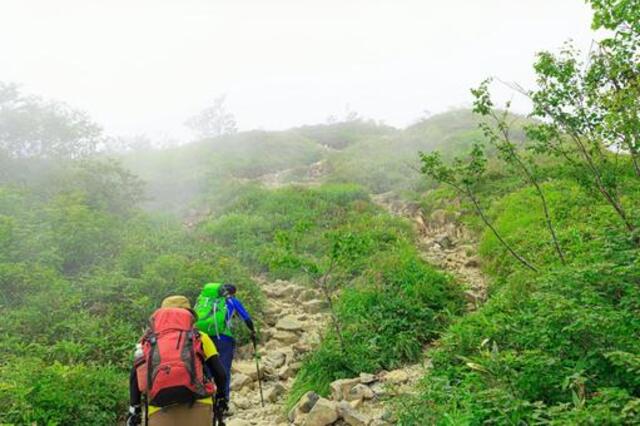
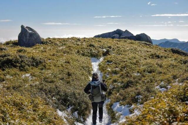
The main climbing route to Mt,Course from Yodogawa trailhead, route via Kuromidake, course starting from YakusugilandThere are
Yodogawa Trailhead Route
Because of the relatively easy access and well-maintained roads,For beginnersAlso recommendedIt is!
Route via Mt.
You can step on the summit of Mt. Kuromi along the way and enjoy a 360-degree view of the mountain.
Yakusugiland Course
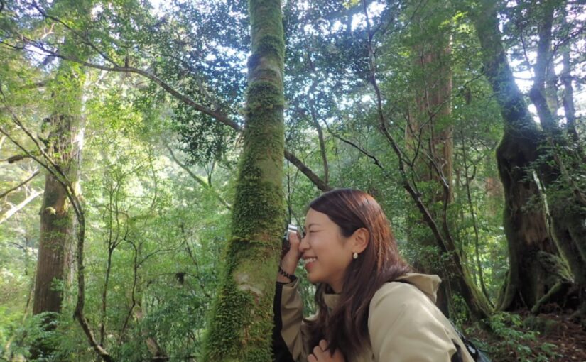
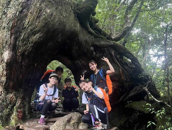
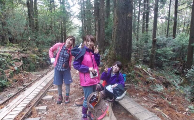
The path passes through a forest of giant Yakusugi cedar trees and moss! You can enjoy nature observation while climbing the mountain!
↓Beginner's guide! Miyanoura trekking guide
Trekking tour of Miyanoura-dake
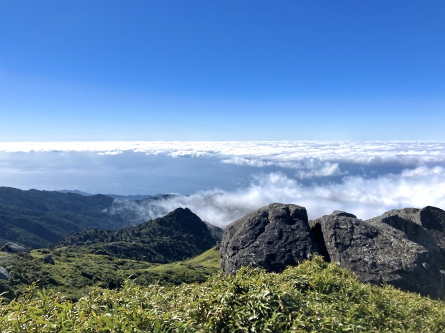
Miyanoura-dake is,The highest mountain in KyushuIt is.
From the top of the 1936-meter-high mountain, you can see the entire island of Yakushima and enjoy a magnificent view.
This mountain is challenging for climbers, but the sense of accomplishment upon reaching the summit is exceptional.
Access: Access from Yodogawa trailhead
↓Click here for recommended trekking
↓Click here for the route plan from the Yodo River trailhead.
↓Kuromidake event! Click here for recommended plans
Yakushima Trekking Tour Ranking
Recommended climbing spots in Yakushima
Yakushima has many attractive spots for climbers.
There is an abundance of places to experience the nature of Yakushima, enjoying the high altitude mountains and beautiful scenery.
Below are recommended climbing spots in Yakushima.
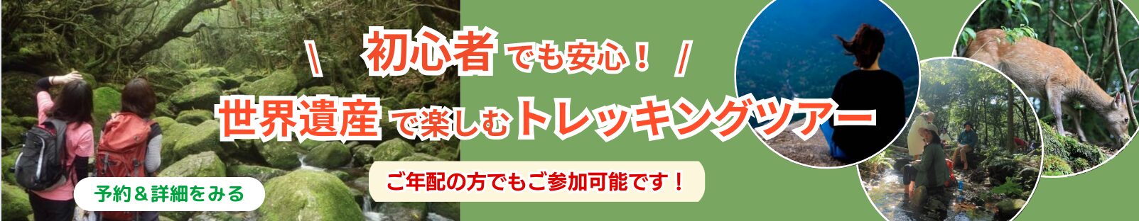
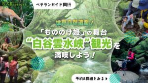
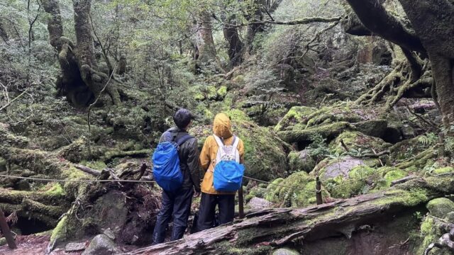
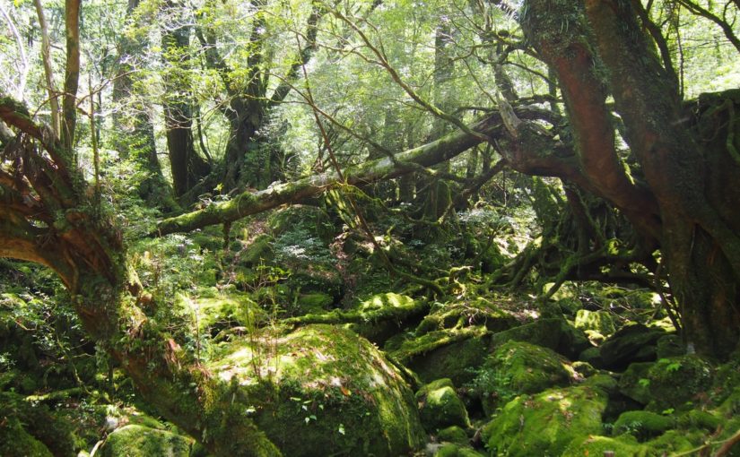
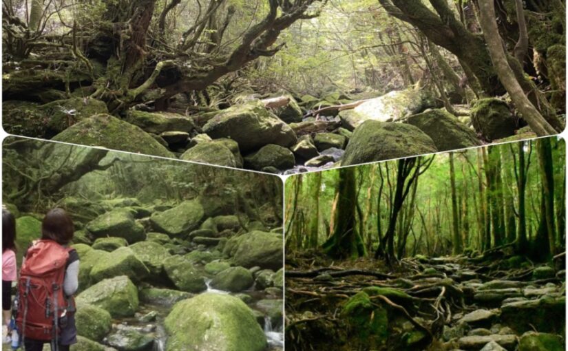
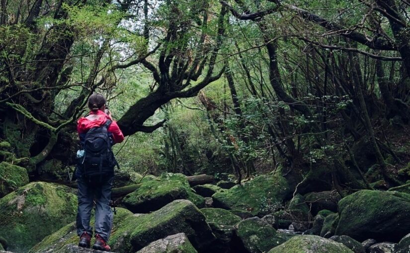
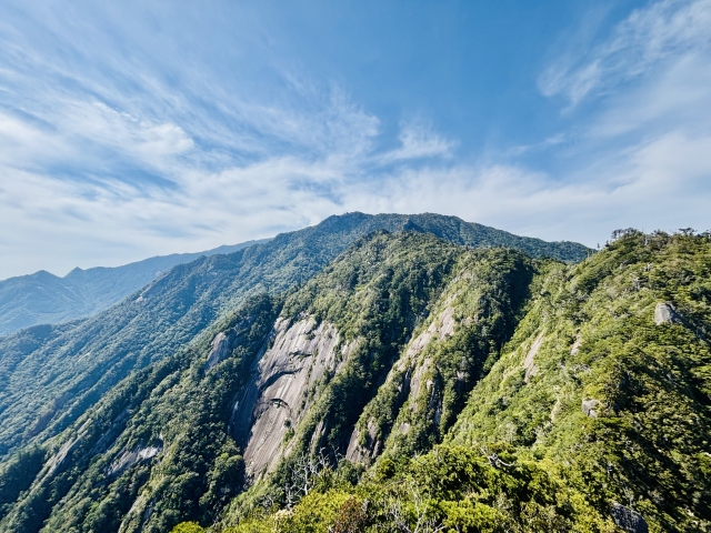
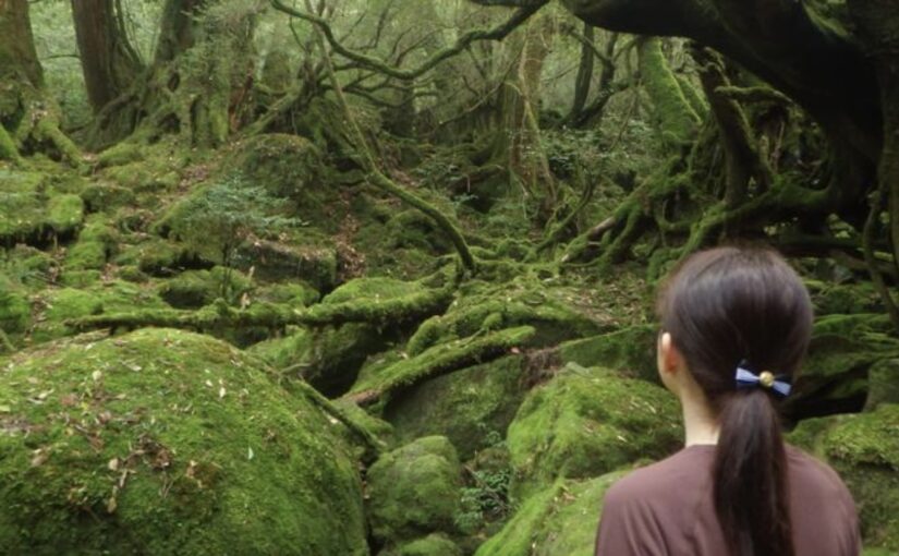
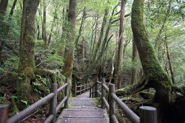
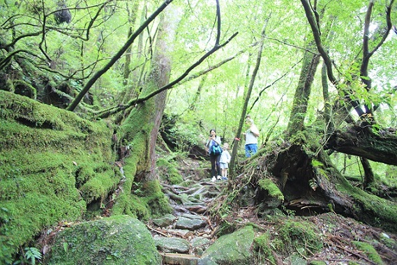
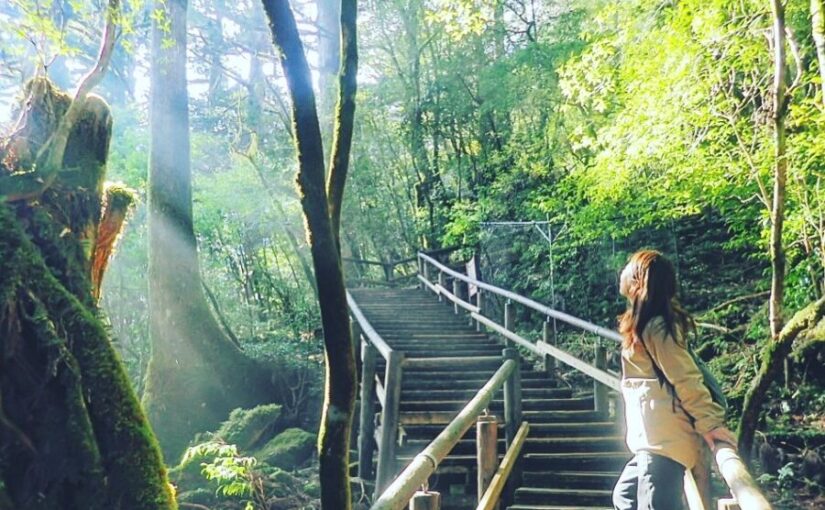
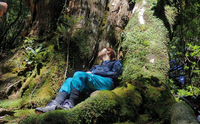
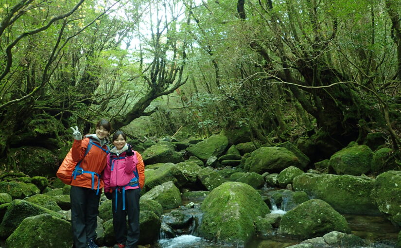
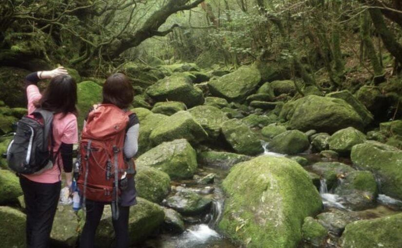
Shiratani Unsui Gorge (Shiratani Unsui Gorge)
Shiratani Unsui Gorge is,A very popular trekking route for climbers, representing the virgin forests of YakushimaIt is It is located at an elevation of approximately 1,000 to 1,300 meters above sea level.
Here, visitors can enjoy the beauty of nature as they view mossy forests, beautiful waterfalls, and large trees that rival the Jomon Cedars.
Access: 30 minutes by car from Yakushima Airport
For more information about Shiratani-unsui Gorge, click here↓.
Click here for recommended tours of Shiratani-Unsui Gorge.
Click here for Yakushima Shiratani-unsui Gorge Trekking Tour
Mt. Tachu (in Kyoto)
Taichudake is,One of the most accessible climbing spots in Yakushima at 1497m above sea levelIt is.
The views from here are spectacular, especially from the top, where you can see the entire ocean and mountains of Yakushima.
Some routes are relatively easy to climb, allowing even beginners to enjoy mountaineering.It is.
Access: Access from Yaksugiland entrance
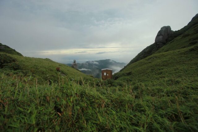
Mt. Kurokami
Located on the south side of Mt,At 1,831 meters above sea level, Kuromi-dake is the sixth highest peak in Kyushu.
From the top of the mountain, you can see the surrounding ocean and islands, and the view is especially spectacular on clear days.
Access: Access from Yodogawa trailhead
Mt. Mochum (Mt. Mochum)
Mt. Motjom is,940 meters above sea levelA famous peak selected as one of the 100 most famous mountains in KyushuIt is.
The summit overlooks the beautiful sea of Yakushima and is recommended for intermediate and advanced climbers!
Access: Access from the trailhead of Mt.
Yakushima Trekking Tour Ranking
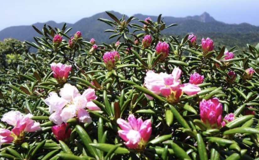
Famous spots around 1300m elevation
On Yakushima Island,There are many beautiful spots located around 1,300 meters above sea level.
At these locations, you can experience the unique nature of Yakushima and at the same time enjoy spectacular views.
Below are spots worth visiting at around 1300m elevation.
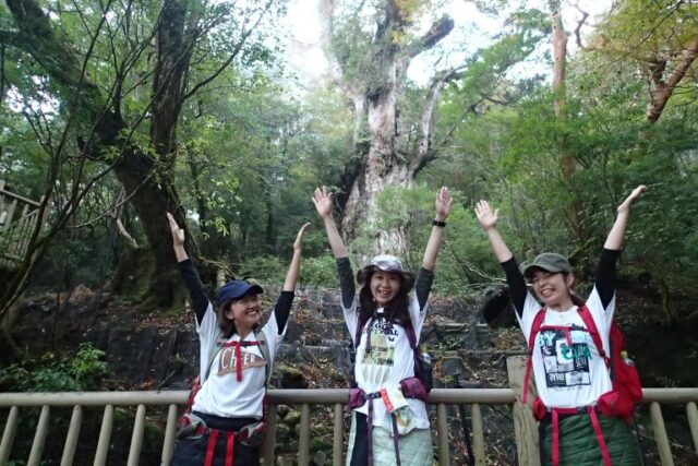
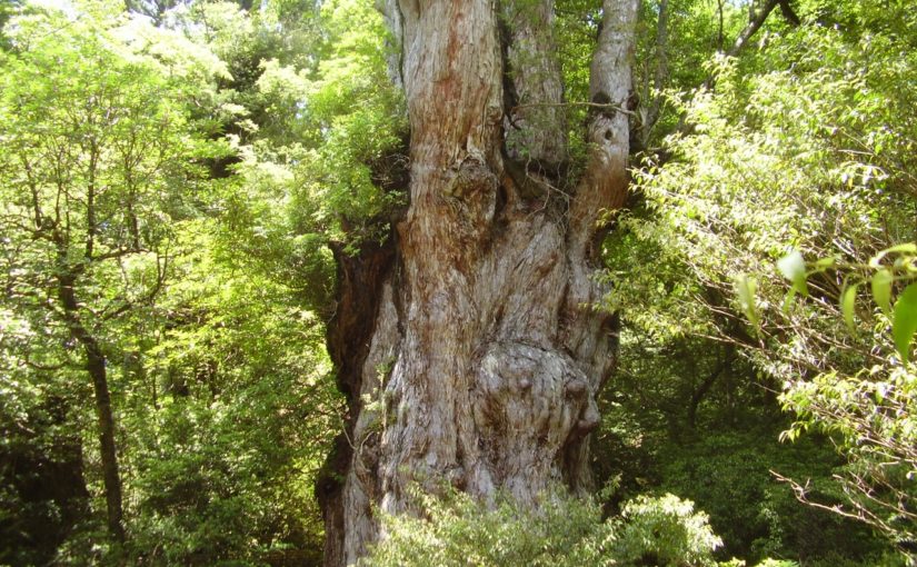
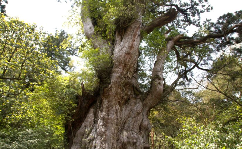
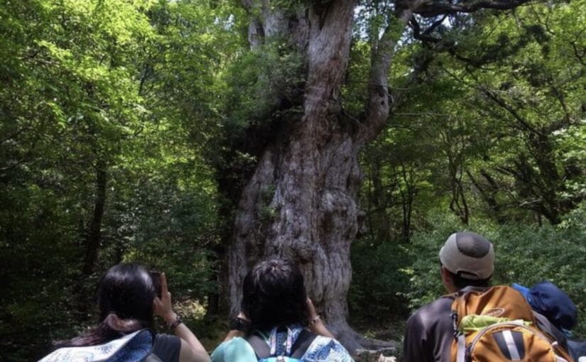
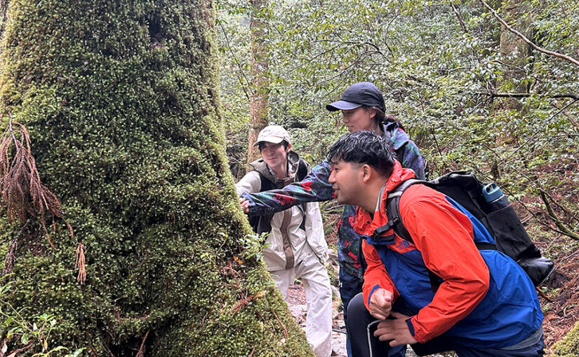
Jomon cedars (elevation: approx. 1300 m)
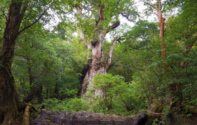
Jomon cedars are,A giant cedar tree that is a symbol of Yakushima and has a history of over 2,000 yearsIt is.
Located at an elevation of around 1300 m, it requires about 6 hours of climbing to visit, but it is well worth it.
Trails around Jomon Cedars provide a sense of the natural beauty of YakushimaTherefore, many tourists visit the area.
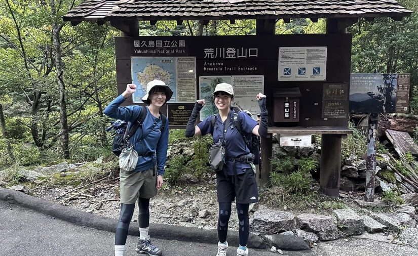
Access: 5-6 hours on foot from Arakawa trailhead
For more information about Jomon Cedars, click here↓.
Click here for recommended tours to Jomon Cedars
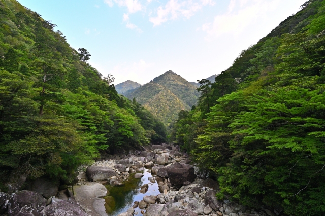
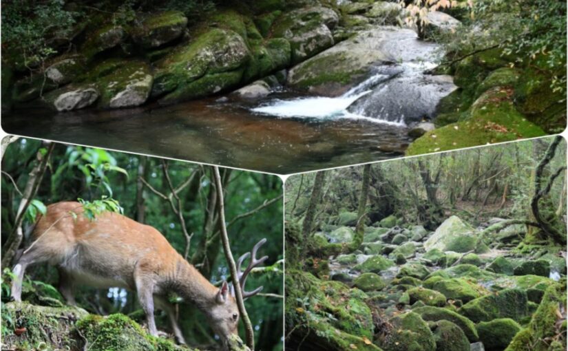
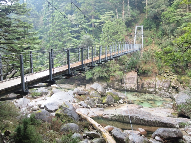
Yodogawa River (elevation around 1300m)
Yodo River is,Beautiful valley located in the western part of Yakushimaand is a spot where you can enjoy nature at an altitude of around 1,300 meters.
Watching the Yodo River flow,You can enjoy the rich vegetation and beautiful scenery of Yakushima!
In particular, trekking along the Yodogawa River is a healing place where visitors can enjoy a quiet and peaceful moment in nature.
Access: Access from Yodogawa trailhead
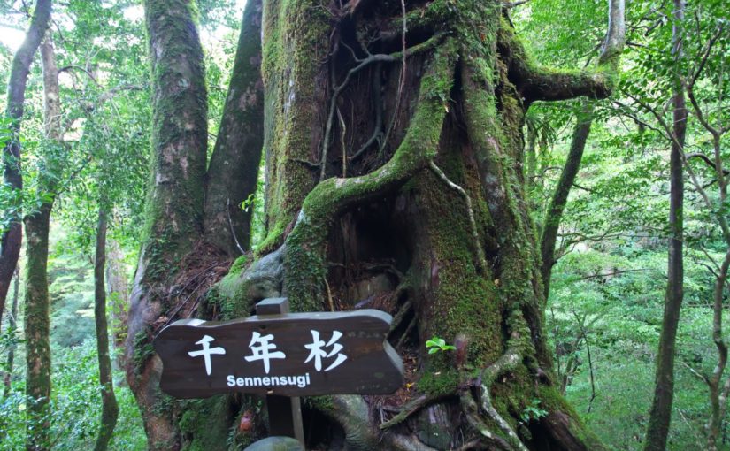
Yakusugiland (about 1000~1300m above sea level)
Yakusugiland is part of the virgin forest of Yakushima,A vast natural park stretching over an elevation of more than 1,000 meters above sea levelIt is.
Here, visitors can experience the richness of nature while viewing the large yakusugi cedar trees that stand alongside the Jomon cedars.
In particular, the route around 1,300 meters above sea level is for the depth of the virgin forests of Yakushima,A must-see for trekking enthusiasts!
Access: 40 minutes by car from Yakushima Airport
For more information about Yakusugiland, click here↓.
Click here for recommended tours to Yakusugiland.
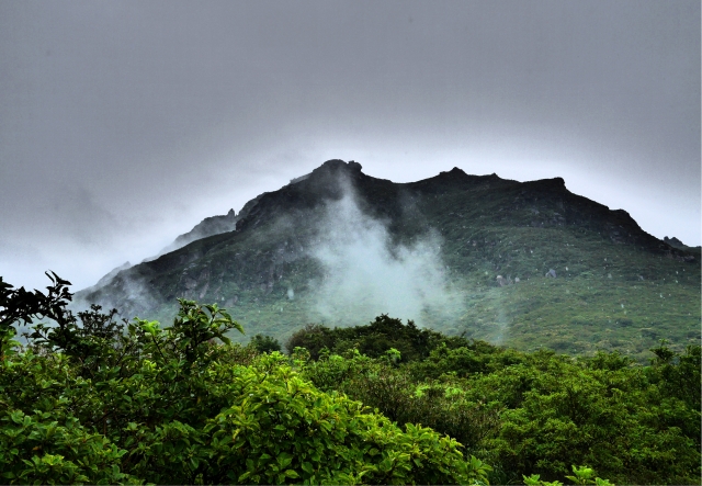
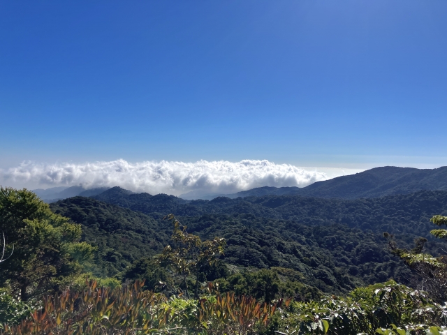
High elevation mountains and typhoons in Yakushima
Because of its high altitude, Yakushima is also susceptible to typhoons.
When planning a climb, it is important to pay attention to typhoon season.
Typhoon season in Yakushima and how to plan a climb
Yakushima is an area frequently affected by typhoon season.
especiallyFrom August to October, there are many typhoons.It is wise to avoid that time of year when planning a climb.
Trails may be closed in high elevation mountains that are susceptible to typhoonsTherefore, it is important to check the weather forecast and local information in advance.
What high elevation mountains are susceptible to typhoons?
The high elevation mountains of Yakushima can be strongly affected by typhoons.
Especially on high mountains such as Miyanoura-dake and Nagata-dake, the danger from strong winds and heavy rain increases.
Therefore,When climbing during typhoon season, it is important to check the weather in advance and make a safe climbing planIt is.
Yakushima Trekking Tour Ranking
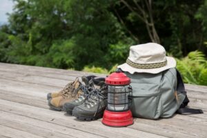
Clothing & personal belongings for climbing Yakushima
Appropriate clothing and personal belongings are required for mountain climbing in Yakushima.
Yakushima, in particular, is a place where the weather can change rapidly due to its high altitude.
Trekking wear made of stretch, water-absorbent and quick-drying materials ((Thick and long to prevent injury),Waterproof and thermal gloves,hat
◆What you need to prepare by yourself
Lunch, snacks, drinks, towels, tissues, sunscreen, plastic bags (for trash and clothes), change of shirt, portable toilet, and regular medicine.
◆Rentals available
Climbing shoes, top and bottom kappa/rain wear, backpack/sack (with backpack cover), poles, headlamp, fleece (winter)
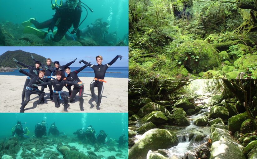
Activities that can be combined with mountain climbing
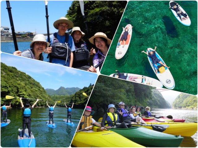
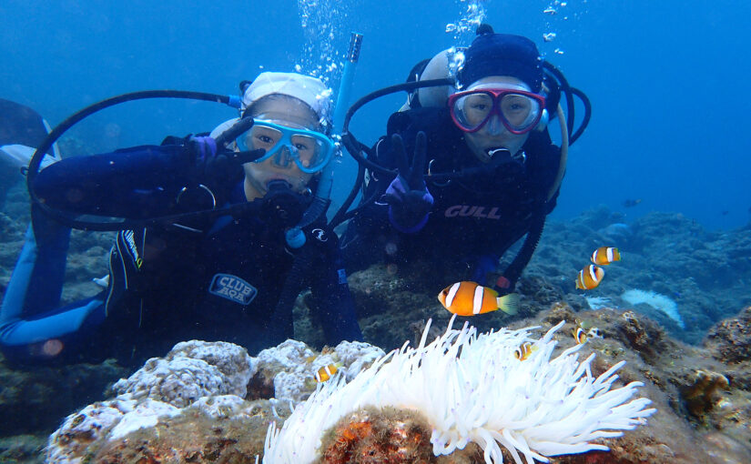
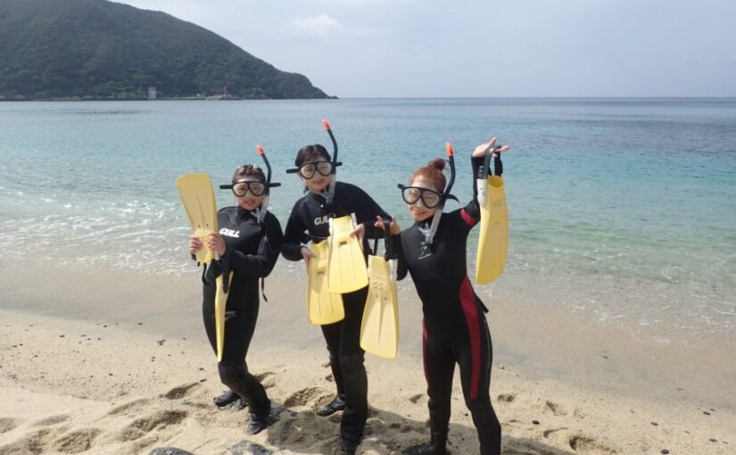
In Yakushima, visitors can enjoy not only mountain climbing but also various other activities.
A wide variety of activities await you, including the ocean and hot springs.
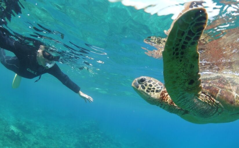
↓Snorkeling and set tour
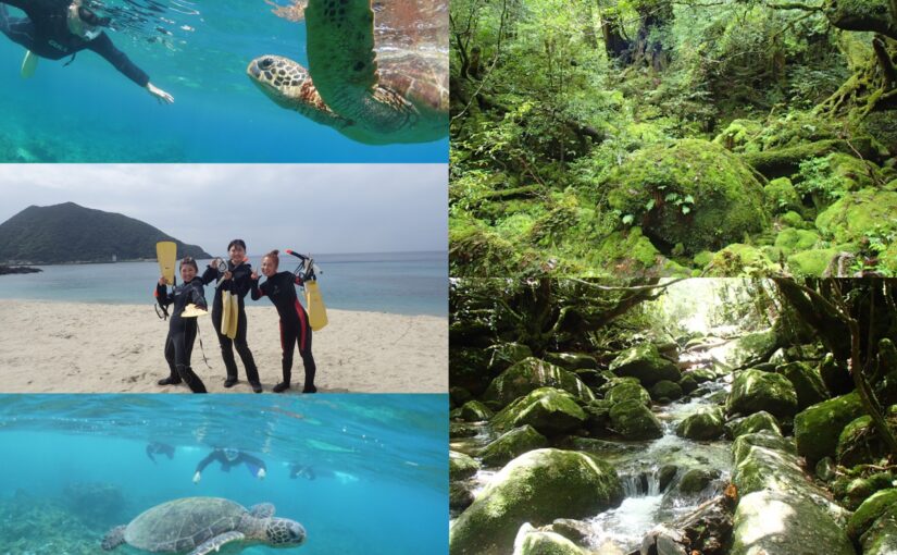
↓Diving and set tour
Kayak and SUP and set tour ↓↓.
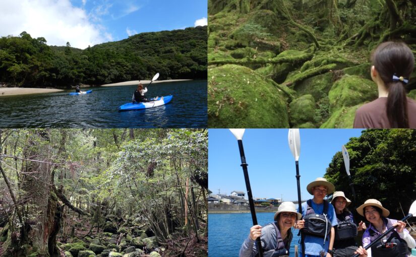
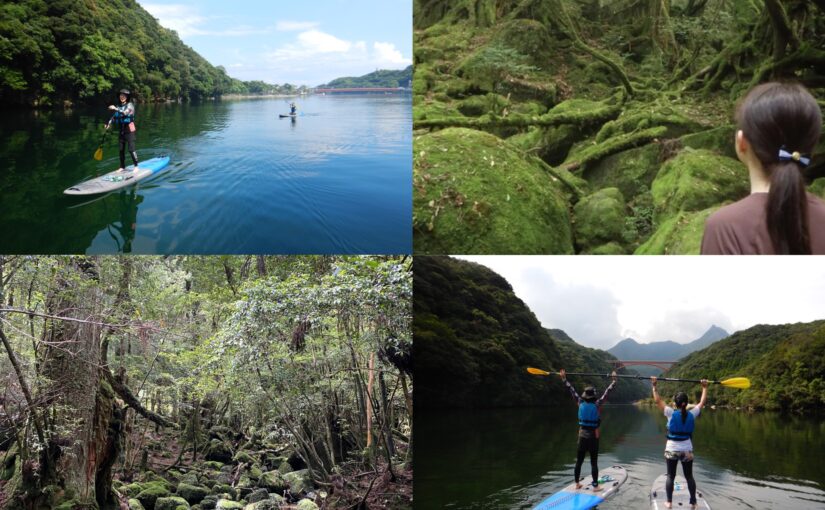
Sightseeing in the island and set tour ↓↓.
Q&A about high altitude mountains in Yakushima
Elevation maps of Yakushima can be found on the official website of the Yakushima Tourism Association, in guidebooks related to mountain climbing, and in mountain climbing apps. Elevation maps are also available at local tourist information centers and trailheads. Check the route and elevation before climbing the mountain to make a safe climbing plan.
Because oxygen becomes thinner at higher elevations, it is important to climb at a pace appropriate to one's physical fitness. Furthermore, it is important to be well prepared for sudden changes in weather conditions. As the temperature gets cooler at higher elevations, be sure to bring clothing that can handle the temperature difference.
summary
Yakushima is an attractive mountain climbing spot with its high altitude mountains and beautiful nature.
Miyanoura-dake and other mountains, Jomon cedars, and Shiratani-unsui Gorge are just a few of the many places to visit.
Proper preparation and planning are important to enjoy mountaineering, but it allows you to enjoy the natural beauty of Yakushima to your heart's content.
↓Click here to read the article.


")
")
")

")
<br />(Symbol of Yakushima)")
")
")
<br />(The spectacular view of Shiratani-unsui Gorge)")
")
<br />(The largest river in Yakushima)")


")

")