
An easy-to-understand explanation of the altitude of Yakushima! Nature and mountaineering attractions created by the difference in elevation
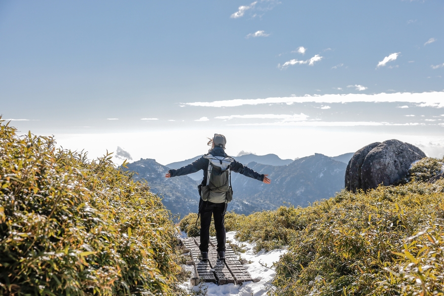
Table of Contents
- 1 What is the elevation of Yakushima? Characteristics of the Island as a Whole
- 2 Elevation differences and topographical features of Yakushima
- 3 List of mountains in Yakushima and their main elevations
- 4 Elevation and vertical distribution of Yakushima
- 5 Relationship between the altitude of Yakushima and Yakusugi cedars
- 6 Yakushima Altitude and Mountain Climbing and Snow Cautions
- 7 Yakushima Altitude Frequently Asked Questions (FAQ)
- 8 summary
What is the elevation of Yakushima?
Characteristics of the island as a whole
Yakushima Island is located in the south of Kagoshima Prefecture and has a circumference of 130 km.Relatively compactIt is an island with a unique character.
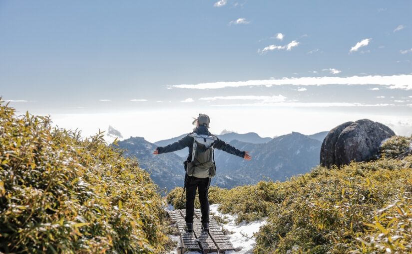
However, on the islandOne of the highest mountain areas in Japanis condensed and at once from 0 m above sea level.1,900m classThe mountains of the area are towering over the city.
The highest peak is Miyanoura-dake, 1,936 meters above sea level,Kyushu's highest peakKnown as ◎
This "Low latitude, high elevationYakushima Island, due to the condition ofA world-class natural treasure troveThe first two are the following.
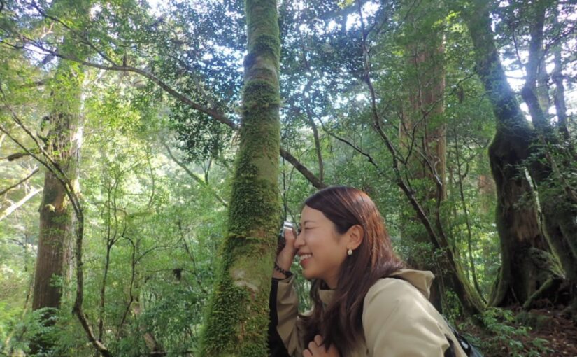
Those who want to know in which altitude range the Yakusugi can be seen.
◆Those who want to know the climate precautions of Yakushima.
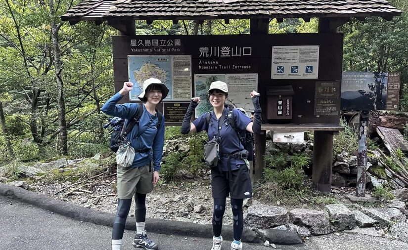
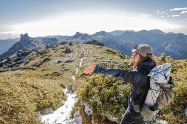
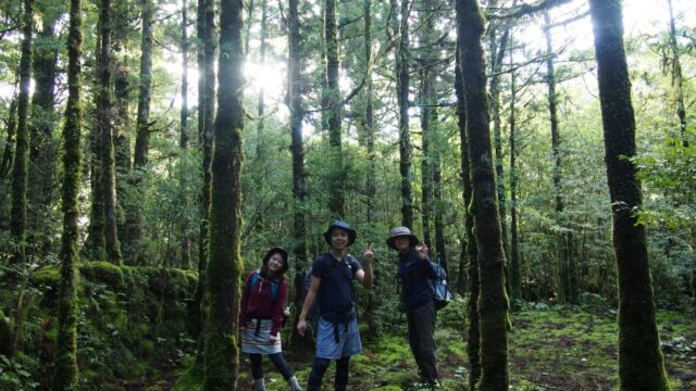
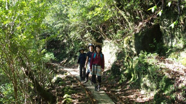
Those who are considering mountain climbing/trekking in Yakushima
Yakushima Island
Click here for recommended tour ranking
Elevation differences and topographical features of Yakushima
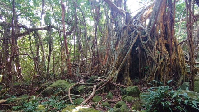
An essential part of the natural beauty of Yakushima is the largeelevation differenceand unique topography!
There is little flat land, and as soon as one moves inland from the coastline, the mountainous terrain begins.
this (something or someone close to the speaker (including the speaker), or ideas expressed by the speaker)Rapid topographic changehas created the unique climate and vegetation of Yakushima.
The maximum difference in elevation on Yakushima is about1,900m or moreYes, there is.
The coastal area is almost 0 m above sea level, but there is a series of 1,500- to 1,900-meter-high mountains less than several tens of kilometers away in a straight line.
This is a very rare topography in Japan, and is one of the reasons why it is described as "Japan's nature condensed into one island.
Due to this sharp difference in elevation, only a short distance is needed to travel on Yakushima Island.Temperature and humidityThe vegetation changes drastically ◎Vegetation changes drastically
List of mountains in Yakushima and their main elevations
In addition to Miyanoura-dake, there are many other mountains on Yakushima.
These mountains are not only the object of mountain climbing, but also an important element in shaping the natural environment of Yakushima.
By knowing the elevation, the characteristics of each mountain anddegree of difficultyThe difference between the two views is easy to comprehend!
↓For more information about mountaineering in Yakushima, click here↓.

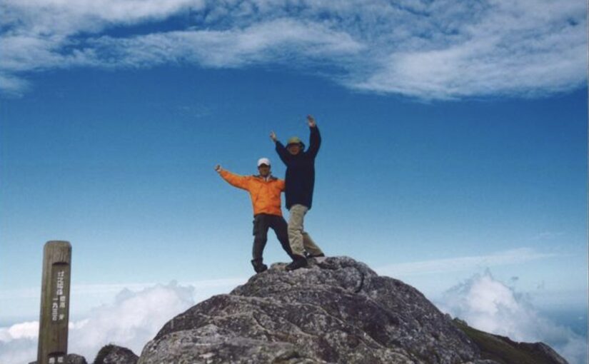
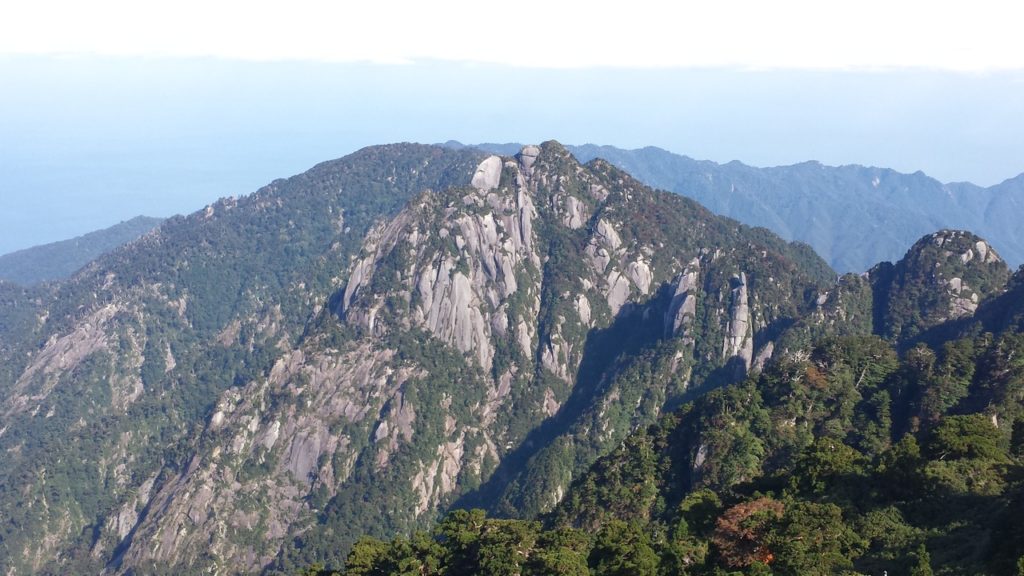
Miyanoura-dake (elevation 1,936 m)
It is the highest peak in Yakushima and Kyushu.
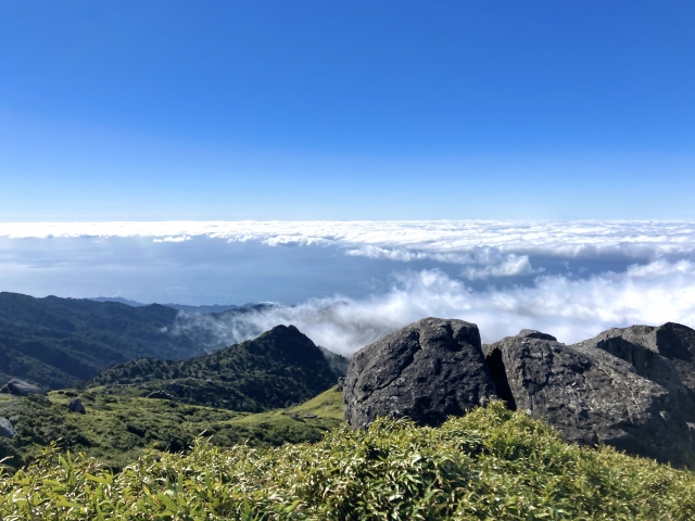
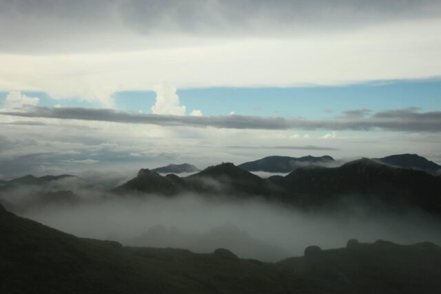
From the summit, weather permitting,Yakushima Islandand ... andSurrounding seaThe view extends all the way up to the
Both the distance and elevation gain are great, requiring serious mountaineering equipment and physical strength, but the sense of accomplishment is exceptional.
↓Click here for recommended Miyanouradake tours.
Nagatadake (elevation 1,886m)
The second highest peak on Yakushima after Miyanoura-dake.
Because there are many rocky ridge zones and they are easily affected by weather and wind,Intermediate to advanced level mountainIt is considered to be a
It is characterized by its rough mountain shape and alpine atmosphere, giving a strong sense of the harsh nature of Yakushima.
Kuromi-dake (elevation: 1,831 meters)
While some routes are relatively easy to climb, the elevation is well over 1,800 meters.
Just below the summit is a rocky area with a clear view.Dynamic scenerycan be enjoyed.
This mountain is often included as a traversing route to Mt.
↓Click here for recommended tours of Mt.
Elevation and vertical distribution of Yakushima
One of the reasons Yakushima is called a "treasure house of nature" is because of its elevation.perpendicular distributionThere is a clarity of
Vertical distribution is a phenomenon in which the types of flora and fauna change with elevation.
On Yakushima Island, this vertical distribution can be observed very clearly.
Nature and vegetation changes at each elevation
From the coast to about 300 m elevation, banyan trees and cycads,Tropical landscapewill spread.
At an elevation of around 500m to 800m, the area becomes a broad-leaved forest zone, where shii and oak trees take center stage.
As elevation increases, cedar forests including Yakusugi cedars spread from around 1,000 m, and above 1,500 m, the area changes to a subalpine zone dominated by shrubs and alpine plants.
The vegetation in the area changes over such a short distance.Rarely seen anywhere in the world.It is also a major reason why Yakushima was registered as a World Natural Heritage site.
Characteristics by elevation
Around 300-800m above sea levelThe area is covered with evergreen broad-leaved trees such as sudajii (Castanopsis cuspidata) and tabunoki (Castanopsis sieboldii). Human settlements and villages are mostly distributed in this elevation zone.
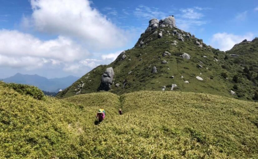
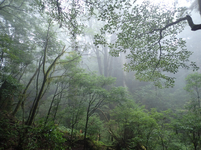
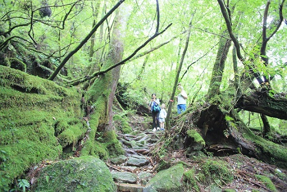
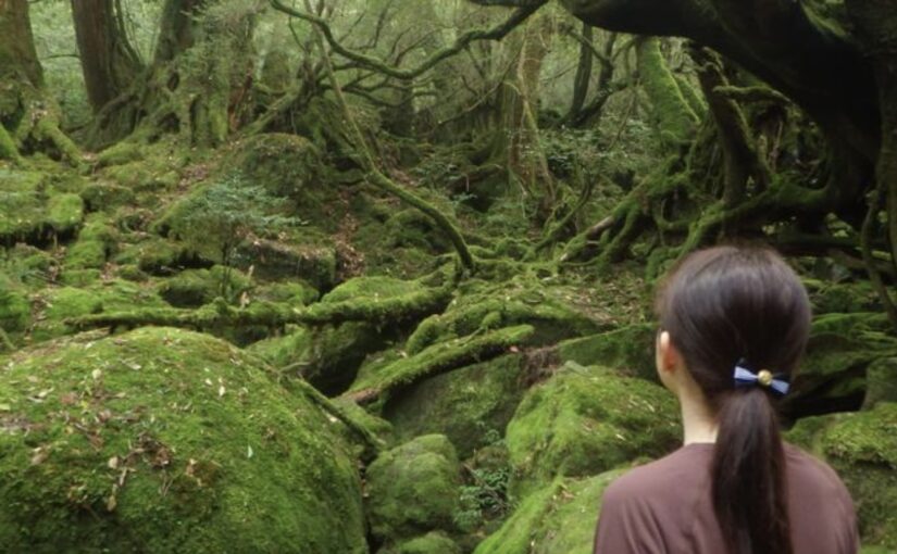
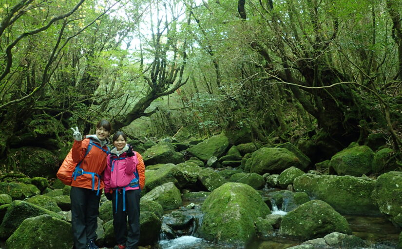
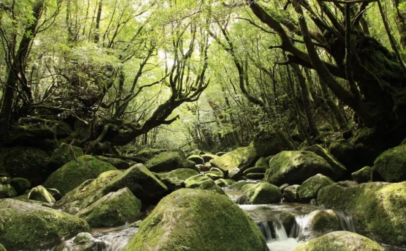
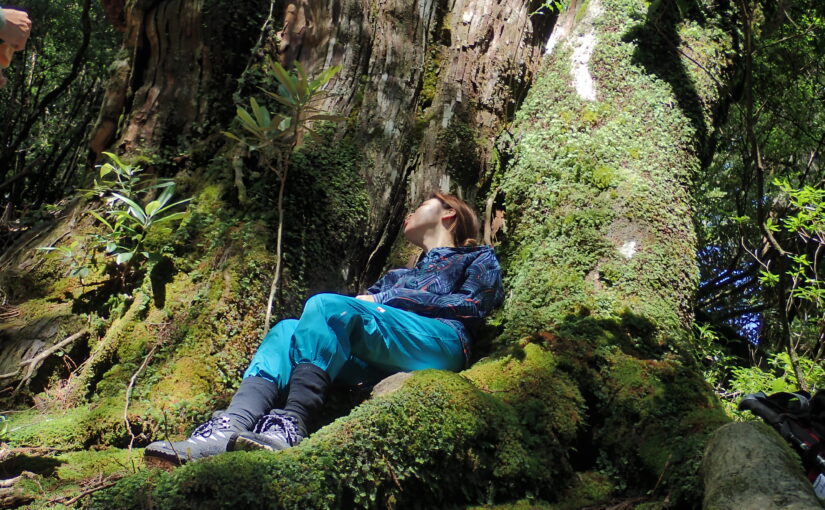
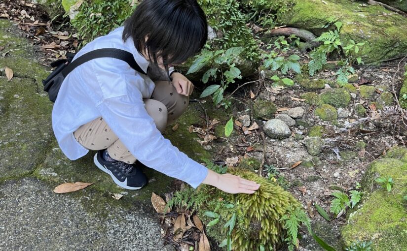
Around 800 to 1,200 meters above sea level:This is the area where you can see the Yakusugi cedars that symbolize Yakushima. This is a popular trekking zone with mossy forests and clear streams.
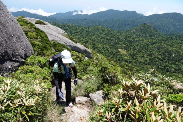
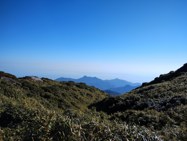
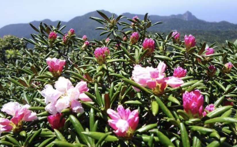
Altitude of 1,200 m or more:Alpine flora such as Yakushima daisies and rhododendrons dominate the area, and visibility increases as one approaches the forest limit. The weather is also particularly variable in this area.
By walking with an awareness of elevation, the nature of Yakushima is many times moredeeplyYou can feel it.
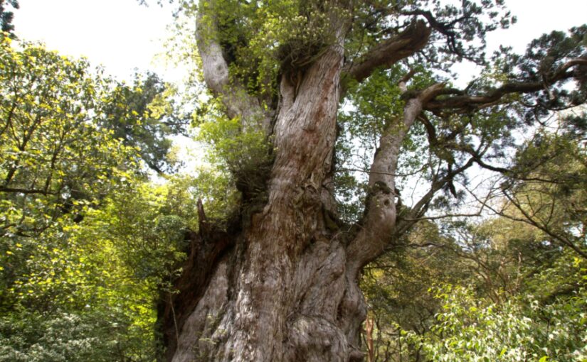
Relationship between the altitude of Yakushima and Yakusugi cedars
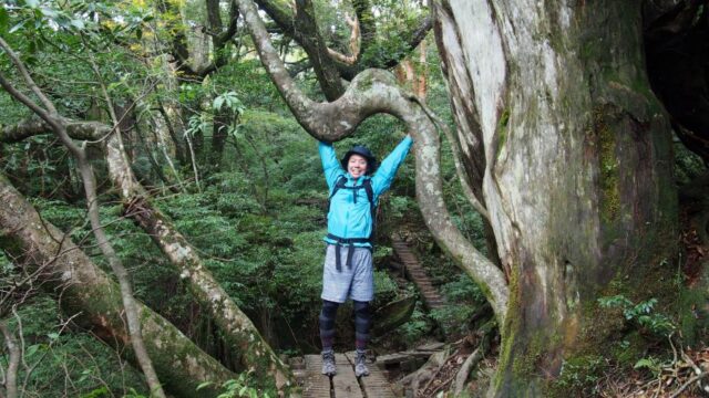
Many people think of Yakushima and think of the Yakusugi cedars.
The Yakusugi cedar is a symbol of Yakushima and the environment in which it grows.Elevation is deeply relatedI'm working on it.
Yakushima Island
Click here for Jomon Cedar Tour Ranking
Elevation zone where Yakusugi cedars can be seen
Yakusugi generally refers to cedar trees that grow in mountainous areas at altitudes of 500 m or more and are considered to be 1,000 years old or more.
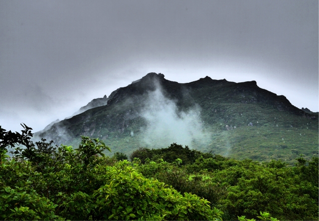
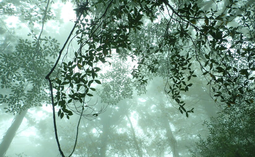
It is especially abundant at elevations between 800 m and 1,200 m, and precipitation is high in this elevation range,FoggyIt is an environment that is easy to work in.
Yakushima Island gets so much rain that it is said to "rain 35 days a month," and this abundant moisture supports the longevity of the Yakusugi cedar trees.
↓Click here for recommended Jomon Cedar tours.
Why altitude creates the "longevity" of Yakusugi cedar
The reason why Yakusugi cedars grow mostly at high elevations is not simply because of the high moisture content.
The higher the elevation, the cooler the temperature, the stronger the winds, and the thinner the soil, so it is not an easy environment for the trees.
However, thisdifficult environmentThis is what slows down the growth rate of Yakusugi cedar and allows it to grow slowly over time.
The slow growth makes the wood fibers denser and less prone to rot even on Yakushima Island, where it rains a lot,strong and indomitableYakusugi cedar grows ◎
The elevation of Yakushima and
Mountain Climbing and Snow Precautions

Yakushima is an island located in the south, but its high altitude makes it a good place for climbing and sightseeing.
Especially with climatic changes due to altitude andPresence of snowis an important point to know in advance.
Climate and snowfall to know when climbing
On Yakushima Island, it is said that the temperature drops about 0.6°C for every 100 m rise in elevation.
Therefore, even in summer, it is chilly near the summit, and when the weather breaks, the temperature drops dramatically.
In winter, snow and ice can be seen on mountains above 1,500 meters above sea level, and around Miyanoura-dakemountain climbingequipment may be required ◎ ◎
For mountain climbing in Yakushima, you need to understand the altitude and climate correctly,Sufficient equipmentand planning is the key to safety.
Clothing and equipment precautions according to altitude
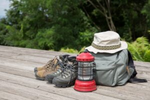
Climbing mountains in Yakushima is more than the season.elevationIt is very important to consider equipment based on "the
Even if the island's coastal areas are comfortable in short sleeves, the high elevation trails can be otherworldly.
interpoint (interword separation)Thermal protection is a must all year roundWarm clothing such as a windbreaker or fleece is essential.
interpoint (interword separation)make a reasonable planThe large difference in elevation makes the climb more strenuous than one might imagine. When weather conditions deteriorate, it is part of safe hiking to turn back.
interpoint (interword separation)High-altitude mountaineering in winter (around December to March)Snow and icy conditions may occur in areas above 1,500m in elevation. Light crampons, chain spikes, or other snow equipment may be required.
Despite its image as a "southern island," the mountains of Yakushima are a full-fledged mountain environment.
Proper understanding of elevation and seasons,equipmentandplanBy fully preparing for the "Yakushima Nature Park," you can enjoy the magnificent nature of Yakushima with peace of mind.
↓Click here for more information about what to bring on your trip to Yakushima.
Yakushima Island Altitude
Frequently Asked Questions (FAQ)
summary
The elevation of Yakushima Island creates a very distinctive topography, varying from 0 m above sea level to mountains in the 1,900 m range all at once.
This large difference in elevation leads to diverse vegetation due to vertical distribution, the presence of Yakusugi cedars, and the allure of authentic mountain climbing.â
When visiting Yakushima, the perspective of elevation is a good place to start,Nature's way of seeingwill vary greatly.
Whether you are sightseeing or climbing a mountain, make sure you have a correct understanding of the elevation of Yakushima and enjoy a safe and fulfilling trip!
↓Click here to read the article.


")
")
")

")
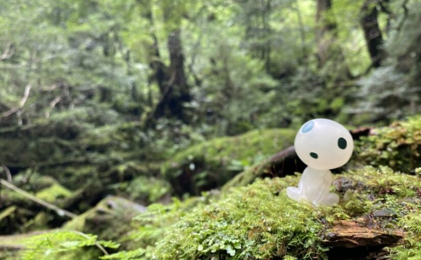
<br />(Symbol of Yakushima)")
")
")
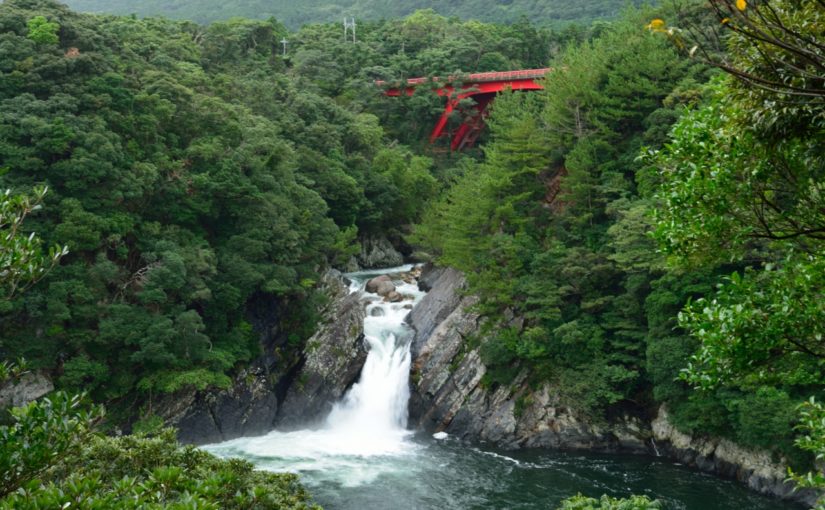
<br />(The spectacular view of Shiratani-unsui Gorge)")
")
<br />(The largest river in Yakushima)")


")

")