


Kuroi-dake Hiking Guide | Is It Accessible for Beginners? Routes, Hiking Time, and Spectacular Views [Yakushima]
Key Points to Know Before Climbing Mt. Kuroi
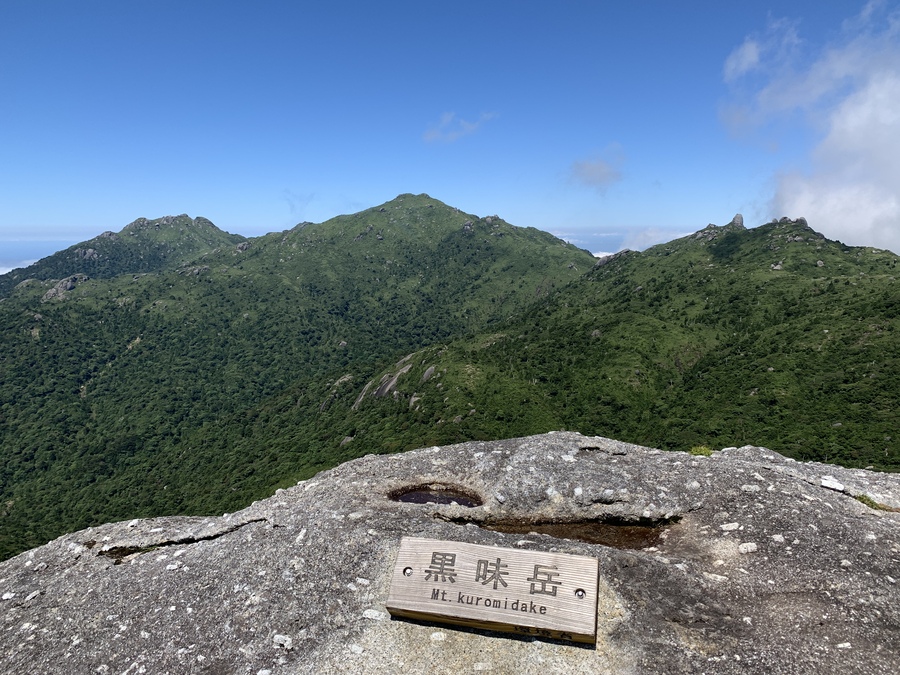
Mt. Kuroi, standing at an elevation of 1,831 meters, is one of Yakushima’s most iconic peaks.100 Famous Mountains of KyushuIt is.
In this article, we’ll explain the hiking route up Mt. Kuromi on Yakushima, how long it takes, and whether beginners can climb it.
We've also summarized the risks of hiking without a guide and typical weather conditions, so please use this as a reference for your preparations!
◆For those who want to know if it's safe to go hiking without a guide
◆For those who want to know the hiking routes and estimated hiking times for Mt. Kuroi
◆For those who are unsure whether to climb Mt. Taichu or Mt. Kuromi
Click here for popular Yakushima tours
What is Mt. Kuroi?
One of Kyushu's 100 Famous Mountains, Representing Yakushima
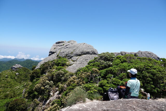
Mt. Kuroi is located south of Mt. Miyanoura on Yakushima.Elevation: 1,831 mThe mountain is a mountain of
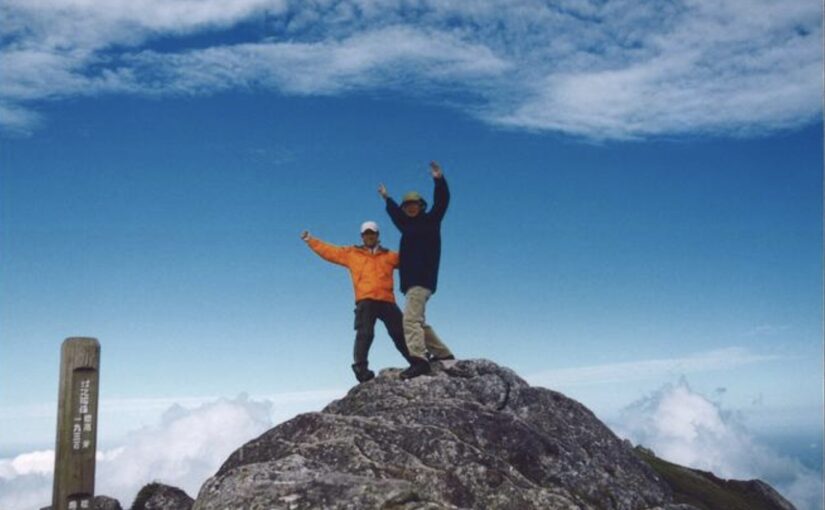
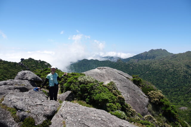
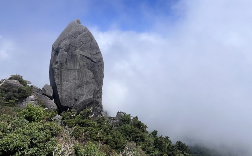
It has been selected as one of the "100 Famous Mountains of Kyushu," and the large granite boulder towering at the summit creates a striking landscape.
Directions: It takes about 6 to 7 hours on foot to reach the summit from the Yodogawa Trailhead.
The 6th-highest peak in Kyushu
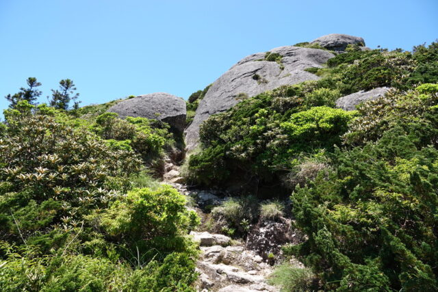
Mount Kuromi isSixth in KyushuIt is known as a high mountain.
At the summit, there is a large granite boulder, offering a rugged landscape that is typical of Yakushima.
One of the “Three Peaks,” along with Mt. Miyanoura and Mt. Nagata
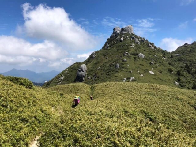
Mount Kuroi, along with Mount Miyanoura (1,936 m)—the highest peak in Kyushu—and Mount Nagata (1,886 m), is collectively known as “Mitake"..." is what it's called.
As one of the most iconic peaks in the Okudake range on Yakushima, it is a favorite among many hikers.
Mt. Miyanoura Trekking Tour
Click here to see the ranking
▼Click here for recommended Mt. Miyanoura tours▼
▼Click here for more details on climbing Mt. Miyanoura▼
Basic Information on Kuromi-dake
When planning a hike up Mt. Kuroi, it’s essential to consider factors such as access to the trailhead, the distance of the route, and the elevation gain, among others.Basic DataIt is.
Here, we provide a summary of the details from the Yodogawa Trailhead to the summit, as well as a guide to the difficulty level of the hike.
Directions to the Trailhead (Yodogawa Trailhead)
The hike up Mt. Kuroi is a climb to an elevation of approximately 1,360 meters,Yodogawa TrailheadWe'll start with that.
It is generally accessed from the Anbo area in southern Yakushima.
Access: 1 hour drive from Yakushima Airport
Course Distance and Elevation Gain
The distance from the Yodogawa trailhead to the summit is about 4 to 5 km one way, and for the round trip,About 9 kmcourse.
The elevation gain is about 470 meters, making it one of the easier climbs among the Oku-dake peaks on Yakushima.
Hiking Level and Difficulty
Although the difficulty level is rated as intermediate, this course is accessible even to beginners if they are confident in their physical fitness.
However, since it is a mountainous area,Preparing Your Stamina in AdvanceLet's make sure to do this properly!
Time Required to Climb Mt. Kuroi

To successfully climb Mt. Kuroi, you should, beforehand,the time requiredIt is important to understand this.
Here, we’ll provide detailed information not only on the total round-trip time but also on how to pace yourself for each highlight, such as the Hananoe River and Kuromi-wakare.
Time Required from the Yodogawa Trailhead to the Summit
The round-trip time from the Yodogawa Trailhead to the summit is,About 6 to 7 hoursis the standard.
Since this time includes breaks, try to leave early in the morning.
Pace Management via Hananoe River and Kuromi Branch
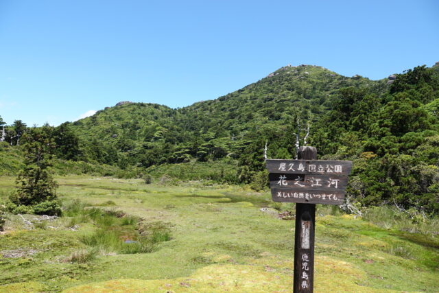
Along the way, at an elevation of approximately 1,640 meters,Hanano RiverThere is a high-altitude marsh there, which is the southernmost of its kind in Japan.
From the “Kuroi-wake” fork, it’s about 0.7 km to the summit—a hike of about 30 minutes.
Can I climb it in a day?
Since the round trip to Mt. Kuroi takes about 6 to 7 hours,It's definitely possible to hike there and back in a single dayIt is!
However, since the duration may be extended depending on the weather, we recommend allowing plenty of time in your plans.
Can even beginners climb Mt. Kuroi?

"Mount Kuroi isbeginnerI'm sure many of you are wondering, "But can you actually climb it?"
Here, we’ll provide a detailed explanation of key points to watch out for on the hiking trail, the level of physical fitness required, and the gear you’ll want to bring.
Points Beginners Should Keep in Mind

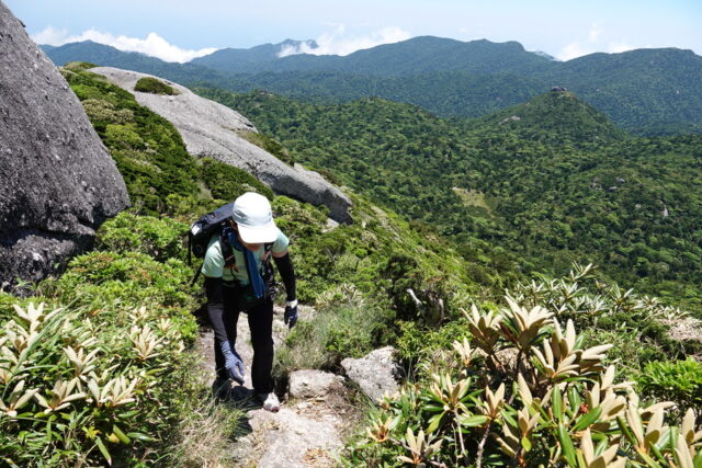
Since some sections of the trail include areas with ropes and rocky terrain, please walk carefully and watch your step.
Not on its ownMountain Climbing in a Groupis recommended.
For Beginners] Yakushima Trekking Tour
Click here to see the ranking
Trekking tours for beginners
▼Check out our recommendations here▼
Advice on Physical Fitness
Since the round-trip journey takes 6 to 7 hours, please make sure toStrengthening your legs and lower body through activities like walkingIt's a good idea to practice this just in case!
Try to walk at a comfortable pace.
Equipment and Packing List

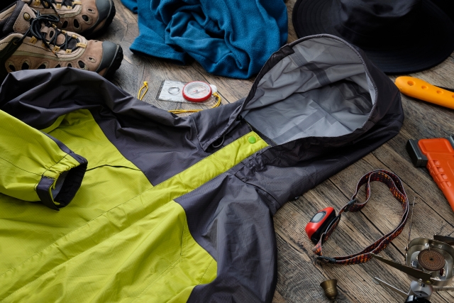
When climbing Mt. Kuroi, be prepared for changes in the weather and extended periods of activityChoosing Equipmentis important.
The following are the essential items you should bring with you.
◆Rainwear and Winter Clothing
◆Snacks and drinking water (about 1–1.5 L)
Since the weather in the mountains can change quickly,Rain GearPlease be sure to carry it with you.
Mount Kuroiwa without a guide
Can I go hiking?
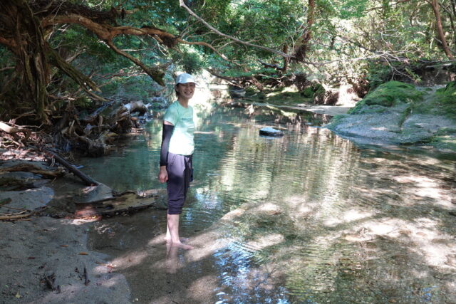
Although Mount Kuroi is a mountain that can be climbed as a day trip, many people feel uneasy about climbing it without a guide.
Here, we'll discuss the risks of hiking without a guide and how to enjoy hiking safely.Benefits of Taking a Guided Tourthe following.
Risks of climbing without a guide

The weather in the mountainous areas of Yakushima can change suddenly, andGetting Lost or Slipping and FallingThere is also the risk of .
If you are new to hiking, it’s safer to avoid hiking without a guide.
Recommended Guided Tours
If you use a local guided hiking tour, not only will your safety be ensured, butDescriptions of Plants and AnimalsYou can also enjoy
If this is your first time climbing Mt. Kuroi, be sure to consider joining a guided tour!
Click here for the Kuroi-dake Tour Rankings
▼Click here for our recommended Kuromi-dake tours▼
Weather and Hiking Season at Mt. Kuroi

The weather in the mountainous regions of Yakushima is unpredictable, andChoosing the Right Hiking SeasonThis is also an important point.
Here, we’ll introduce the best times to enjoy Yakushima rhododendrons, as well as the reasons why the weather is so changeable and how to prepare for it.
Recommended Hiking Season
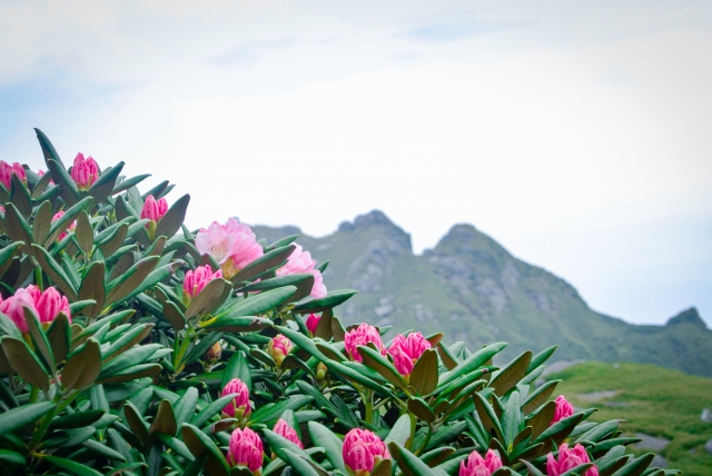
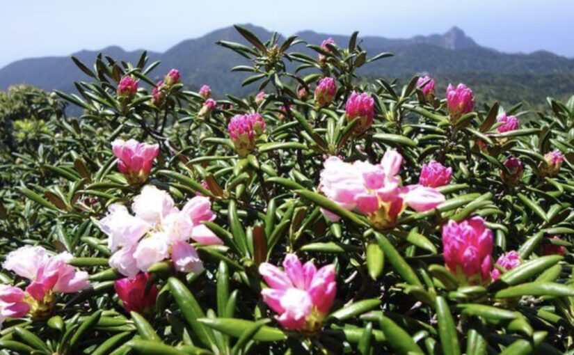
From late May through early June,Yakushima RhododendronThe clusters of [...], are now at their peak.
Since you can also enjoy alpine plants in the summer, early summer through summer is the recommended season to visit.
Reasons for Unpredictable Weather and How to Deal With It
The mountainous regions of Yakushima are at high elevations, andWeather Different from That on Flat LandThis is often the case.
Be sure to check the latest weather forecast before you leave and make sure to pack rain gear.
A Comparison of Mt. Kuroi and Mt. Taichu
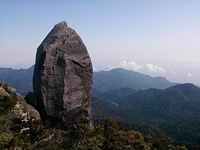
In addition to Mt. Kuromi, Yakushima is also home to the rock formation known as Tenchū-ishiMt. Tachu (in Kyoto)There is a popular mountain called...
Here, we’ll introduce the appeal of each mountain while comparing differences in elevation, hiking time, difficulty, and points of interest.
Differences in Elevation and Hiking Time
Mt. Taichu has an elevation of1,497 mSo, it's a course that's about 8 km round trip from Yakusugi Land.
Although it is lower in elevation than Mt. Kuromi, the hike takes about 8 hours, which is slightly longer than the hike up Mt. Kuromi.
Difficulty Level and Availability of Rope Courses
The climb near the summit of Mt. Taichu becomes steep, andRope CourseThis is also a course designed for intermediate learners.
Although there are some sections with ropes on Mt. Kuroi, the overall difficulty is slightly easier than that of Mt. Taichu.
Differences in Highlights
(Grand Panorama vs. Tenchū-ishi)
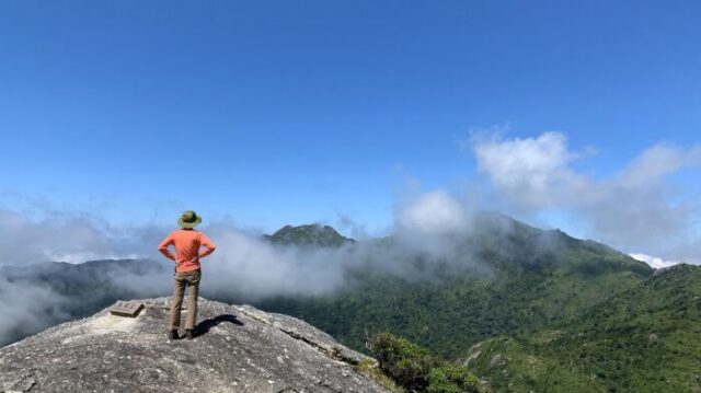
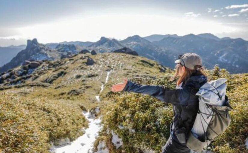
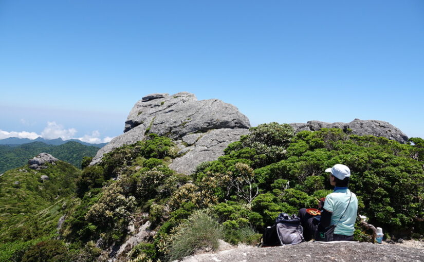
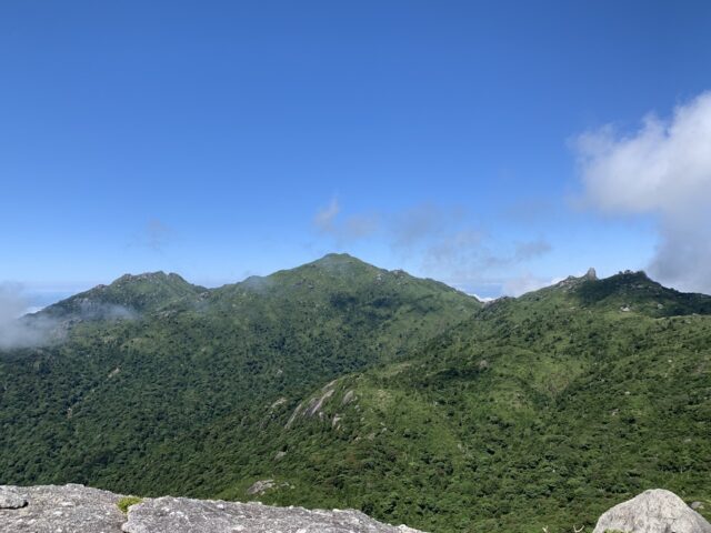
The appeal of Mt. Kuroi lies in the view from the summit360-degree panoramaIt is.
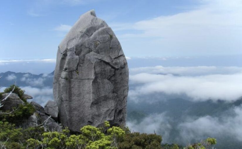
On the other hand, Mt. Taichu is"Tenchū-ishi," a 40-meter-tall giant rock...is the main highlight.
Click here for the Mount Taichu Tour Rankings
▼Click here for our recommended Mount Taichu tours▼
Regarding the Climb up Mt. Kuroi
Frequently Asked Questions (FAQ)
Since this is a round-trip hike that takes about 6 to 7 hours, even beginners can complete it as a day trip if they’re confident in their physical fitness. However, we recommend building up your stamina in advance and allowing plenty of time in your schedule.
Weather conditions in the mountainous areas of Yakushima can change suddenly, and there is a risk of getting lost or slipping and falling. For your safety, we recommend that those with limited hiking experience join a guided tour.
From late May to early June, the Yakushima rhododendrons are in full bloom, and in the summer you can enjoy alpine plants as well, so early summer through summer is the best time to visit.
summary
Although Mount Kuroi stands at an elevation of 1,831 meters, it is an easy day hike and is one of the "100 Famous Mountains of Kyushu" recommended for beginners.
A 360-degree panoramic view from the mountaintopIt’s a special reward that only those who make it to the top can enjoy.
Since the weather can change quickly, be sure to take a guided tour and prepare thoroughly so you can enjoy the breathtaking scenery unique to Yakushima!
▼Click here for articles to read in conjunction with this article.
![[Yakushima · Private Tour] Led by a Female Guide! A Relaxing One-Day Forest Tour to Recharge Among Moss and Yakusugi Cedars](https://yakushima-tour.com/wp-content/uploads/2020/01/a0e0857e7f1ee70e49fee427cac12402-825x510.jpg)