


What Is Mt. Tachū on Yakushima? A Comprehensive Guide—From How to Pronounce Its Name to the Spectacular Views from the Summit, the Tenchū-ishi Rock, and Beginner-Friendly Routes
Guide to Climbing Mt. Taichu
A Comprehensive Guide: From How to Pronounce It to the Spectacular Views from the Summit
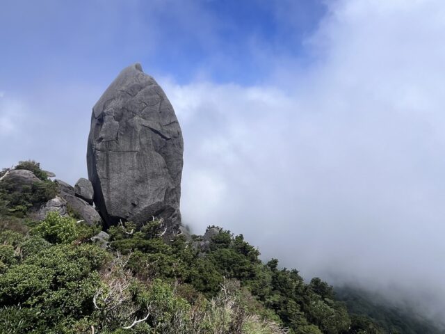
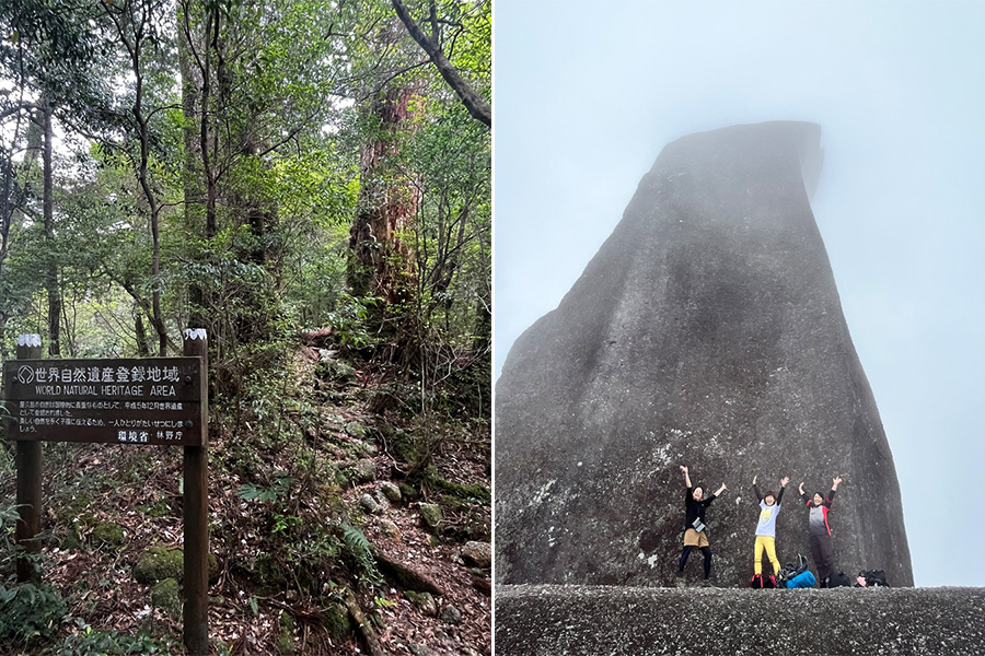
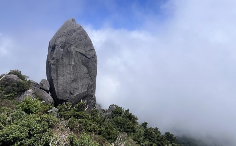
"Mount Tachū" is one of Yakushima's most iconic giant rocksThe Giant Rock "Tenchū-ishi"It is a popular mountain that towers over the area.
From the mountaintop at an elevation of 1,497 meters, you can see all the way to Tanegashima if the weather is good.superb viewwill spread!
Here’s a comprehensive guide covering everything from how to read the map to elevation, hiking times, routes, and safety precautions.
Please use this as a guide for your hike up Mt. Taichu.
◆For those who want to check the estimated hiking times for Mount Taichu in advance
◆For those who want detailed information on the hiking route to Mt. Taichu
◆For those who want to check the precautions and what to bring for beginners
Yakushima Island
Click here for recommended tour ranking
What is Mt. Taichu?
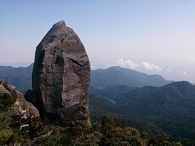
Mount Taichu is a symbol of YakushimaThe Giant Rock "Tenchū-ishi"It is a mountain known for...
It towers over the northern side of Yakusugi Land, and its silhouette can be seen from various locations across the island.
Let's start by looking at some basic information, such as how to pronounce it, its elevation, and its location.
How to Pronounce "Mt. Taichu"
"Mt. Taichu" isJust standing therereads as follows.
It is one of the mountain names on Yakushima that is relatively difficult to pronounce.
In the local area,"The Mountain of the Celestial Pillar Stone"It's often affectionately referred to as...
When planning a hike, knowing how to read the signs will make it easier to understand the information on the trail signs and communicate with your guide.
Elevation and Location
The elevation of Mt. Taichu is1,497 metersIt is located in the central part of Yakushima, north of Yakusugi Land.
It can be seen from Awa Town as well, and is one of the mountains well known to locals.
The Tenchū-ishi rock, which towers over the mountaintop, is made of granite and is visible from several locations on Yakushima—PresenceThere are
Directions: It takes about 6 to 8 hours on foot to reach the summit from the Yakusugi Land entrance.
Basic Information on Climbing Mt. Taichu
Here are some things you should know when planning a hike up Mt. Taichu,Hiking TimeI've summarized the difficulty level and typical weather conditions.
Knowing these details in advance will make it easier to plan your activities for the day.
Hiking Time

Hiking times vary from person to person, but the round trip takes approximately6 to 8 hoursIt's a good idea to use this as a guideline.
According to some hiking logs, it reportedly took more than 8 hours.
Hiking in the mountains of Yakushima often requires more physical stamina than the distance might suggest, so be sure to plan your trip with plenty of time to spare!
While taking frequent breaks,one's own pace (e.g. going at one's own pace)It's important to keep moving forward.
We also recommend calculating your departure time based on sunset.
Can beginners give it a try?
Difficulty Level of Mt. Taichu

Mt. Taichu is considered a mountain that “even beginners can attempt, but is best suited for those who are confident in their physical fitness.”
The first half of the trail is easy to walk, but near the summit, the slope becomes steeper andRopeThere will also be places where you'll need to use it.
This course is recommended for people who walk regularly or who exercise.
If you're feeling anxious, head to Yakushima'sguided tourUsing it is one option.
Not only will you receive guidance on the route, but you’ll also hear explanations about the local flora and fauna, allowing you to enjoy the experience even more.
Click here for the Mount Taichu Tour Rankings
▼Click here for our recommended Mount Taichu tours▼
Weather and Dress Tips
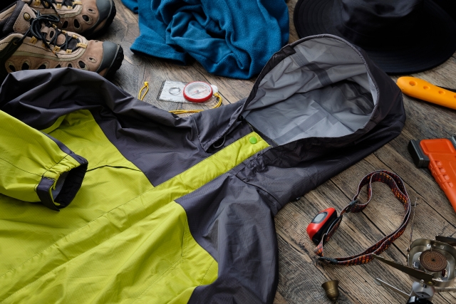
Yakushima Island isAn island with changeable weatherIt is known as the
Be sure to check the latest weather forecast before you go hiking.
We recommend wearing clothes that allow for easy movement and wick away sweat!
It's best to avoid dresses, wide-leg pants, and skirts, as they can restrict your movement.
On Yakushima, where it rains a lot,rainwearIt's also a must-have item.
Guide to the Taichu-dake Hiking Route
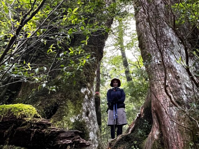
From Yakusugi Land to the summit ofscheeliteLet's take a look at the routes up Mt. Taichu in order.
From virgin forests to mountain peaks dotted with massive boulders, you can enjoy a journey full of variety!
Yakusugi Land Trailhead to the Serpentine Cedar
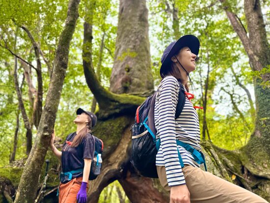
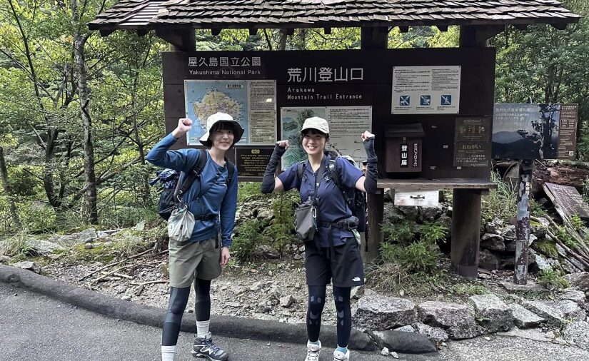
The hike up Mt. Taichu begins at the entrance to Yakusugi Land.
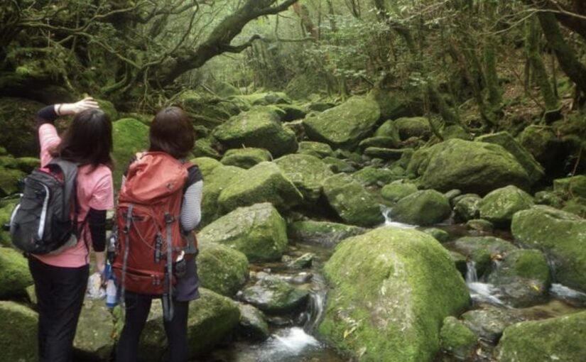
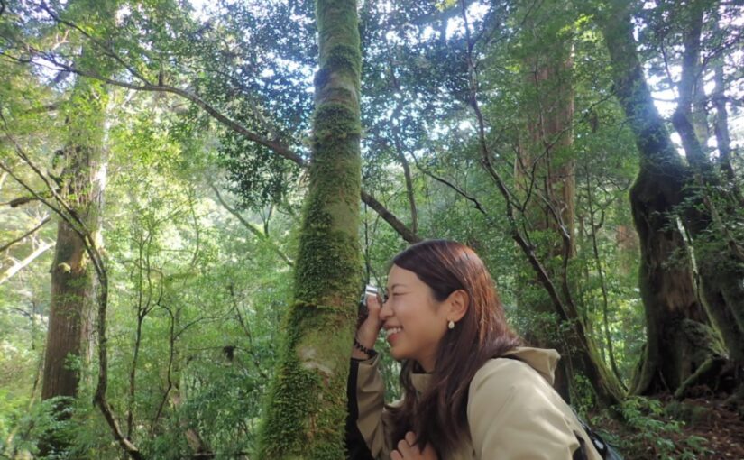
In the early part of the hike, the trail winds through virgin forest and is relatively easy to walk on.
After walking for a while,Snake-Patterned CedarYou'll soon see the Yakusugi cedars.
The light filtering through the trees is beautiful, and it’s a place that soothes the fatigue of hiking.
In the area around Yakusugi Land,Parking and RestroomsIt's all set up, too.
Directions: About a 42-minute drive from Yakushima Airport
▼Click here for more information about Yakusugi Land▼
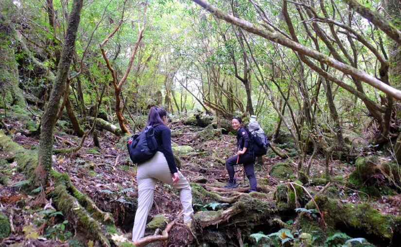
Kohana Mountain to Tenmon Forest
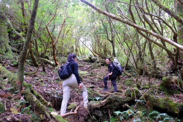
Once you pass the Serpentine Cedar, you’ll enter a forest of Yakusugi cedars known as “Kohana-yama.”
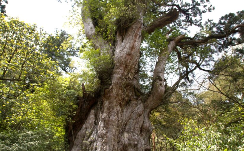
It is said to be 2,000 years oldShaka CedarIts majestic appearance is also one of the highlights.
As you continue on, you'll come to "Astronomy Forest," where you can really feel the long history that the forest has witnessed!
As the elevation increases, the vegetation—including rhododendrons—begins to change, andThe Abundance of Nature Unique to YakushimaYou can really feel it.
The Heavenly Pillar Stone at the Summit
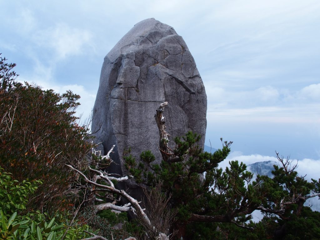
The slope gradually gets steeper as you approach the summit.
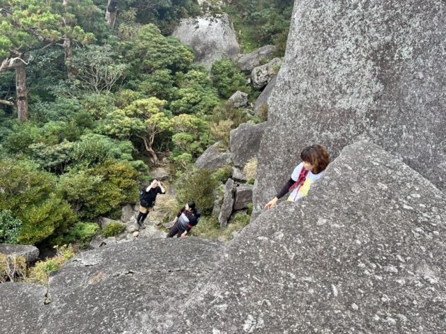
There are some sections where you'll need to use a rope to climb, so proceed carefully, one step at a time.
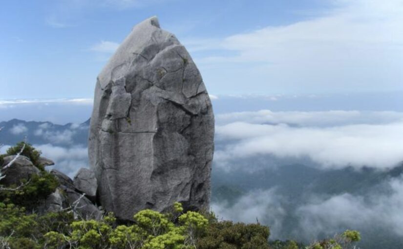
And what appears right before your eyes is, about40 metersThis is the massive rock known as “Tenchū-seki.”
On a clear day, you can see Mount Aiko, the town of Awa, the Arakawa Dam, and even Tanegashima.
Unique to YakushimaA Vast LandscapeBe sure to enjoy it!
Although the viewing platform at Tenchū-ishi is spacious, it is on a slope, so be sure to watch your step and not get too caught up in the view.
Important Points Beginners Should Know

Mount TaichusafetyTo help you enjoy it, we've put together a list of things you'll want to prepare in advance.
Make sure you’re prepared both in terms of equipment and mindset so you can enjoy your hike with peace of mind.
For Beginners] Yakushima Trekking Tour
Click here to see the ranking
Trekking tours for beginners
▼Check out our recommendations here▼
list of one's personal belongings
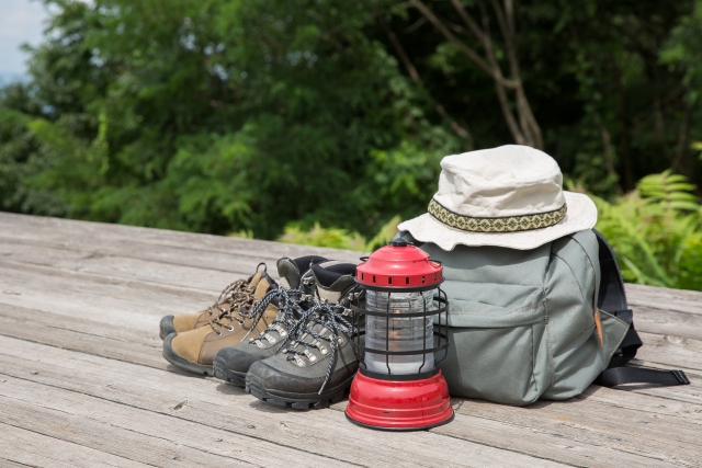
When climbing Mt. Taichu, the long hours of hiking andChanges in the WeatherYou can't do without the right gear!
◆Rainwear
◆Winter Clothing
◆Military gloves
◆Action food
◆Drinks
◆Maps and GPS Apps
◆Headlight
especiallyWaterproofing MeasuresThis is an important point when hiking on Yakushima.
Be sure to pack the items listed above in case your descent is delayed.
Hazardous Areas and Precautions
Although the rock near the summit isn't particularly slippery, the steep slope requires caution.
Let's take it one step at a time without rushing, making sure to check our footing as we go.
Since the weather can change suddenly,An Early DescentIt's also important to keep this in mind.
If you're hiking alone, it's a good idea to let your family or friends know your hiking plans in advance for added peace of mind.
Regarding the Climb up Mt. Taichu
Frequently Asked Questions (FAQ)
It’s pronounced “Tachū-dake.” It’s one of the mountain names on Yakushima that’s difficult to pronounce.
The first half of the trail is easy to walk, but there are sections near the summit where you’ll need to use ropes, so this course is recommended for those who are physically fit. Be sure to prepare thoroughly in advance.
Although it varies from person to person, a round trip typically takes about 6 to 8 hours. Be sure to plan your trip with plenty of time to spare.
summary
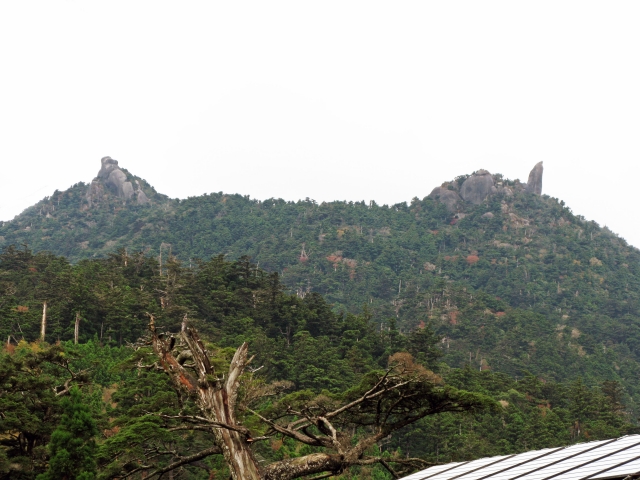
Mount Tachū is a mountain on Yakushima Island; its name is pronounced “Tachū-dake.”
Elevation 1,497 meters, a massive boulder at the summitTianzhuang Stone.is attractive.
This is a round-trip hike that takes about 6 to 8 hours from Yakusugi Land, and is recommended for those who are confident in their physical fitness.
After making sure all the necessary preparations are in place,Spectacular Views Unique to YakushimaPlease be sure to enjoy it!
▼Click here for articles to read in conjunction with this article.
![[Yakushima · Private Tour] Led by a Female Guide! A Relaxing One-Day Forest Tour to Recharge Among Moss and Yakusugi Cedars](https://yakushima-tour.com/wp-content/uploads/2020/01/a0e0857e7f1ee70e49fee427cac12402-825x510.jpg)