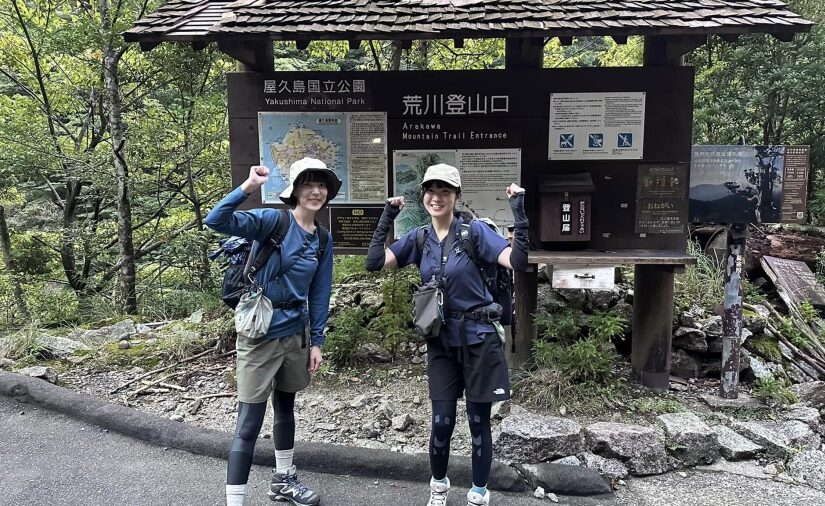

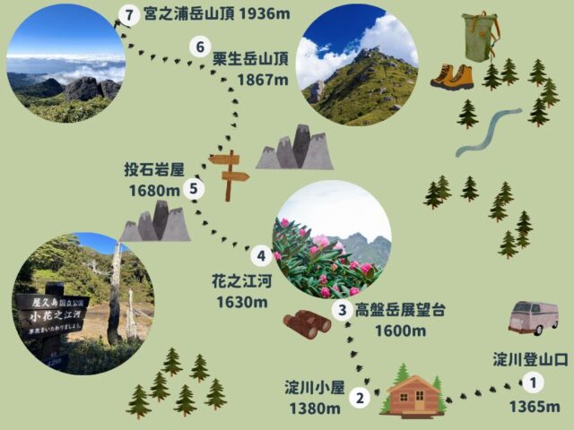
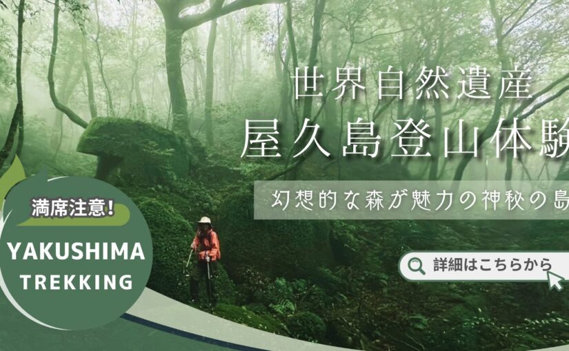
The highest peak in Kyushu! Maximum height difference 576m
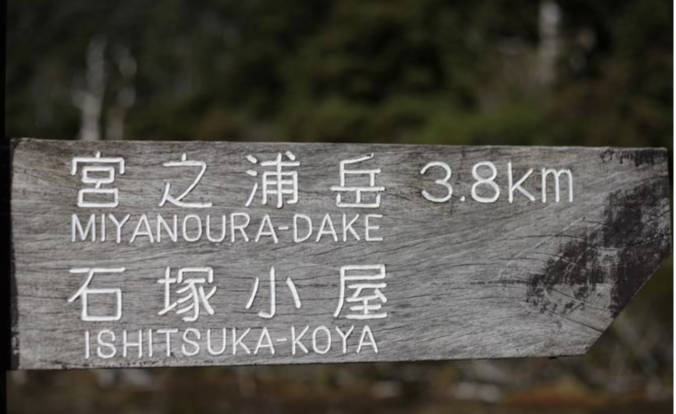
Let's go to Miyanoura-dake
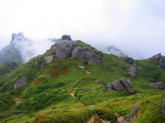
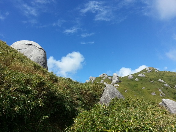
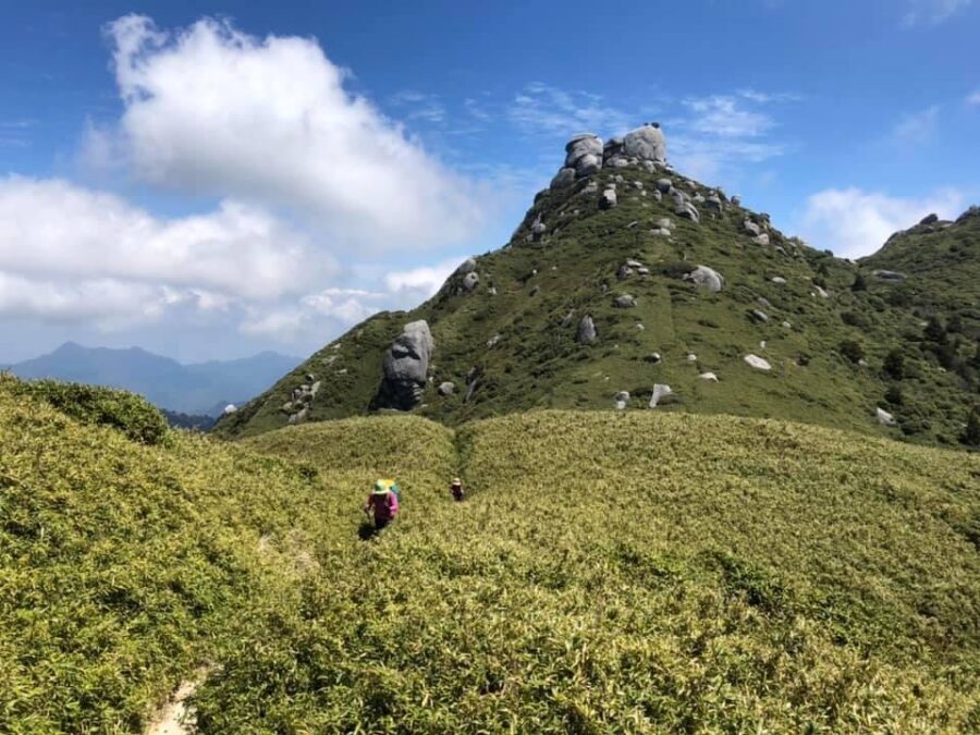
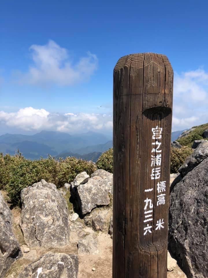
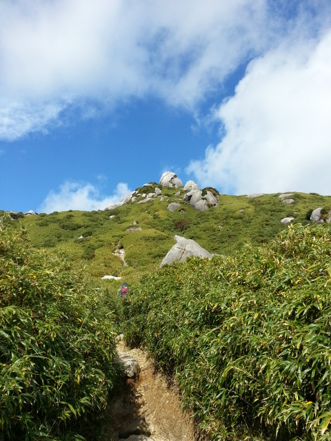
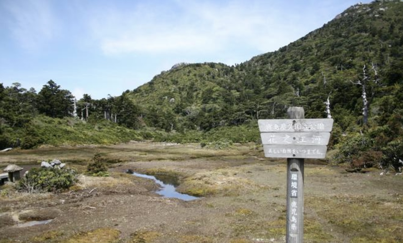
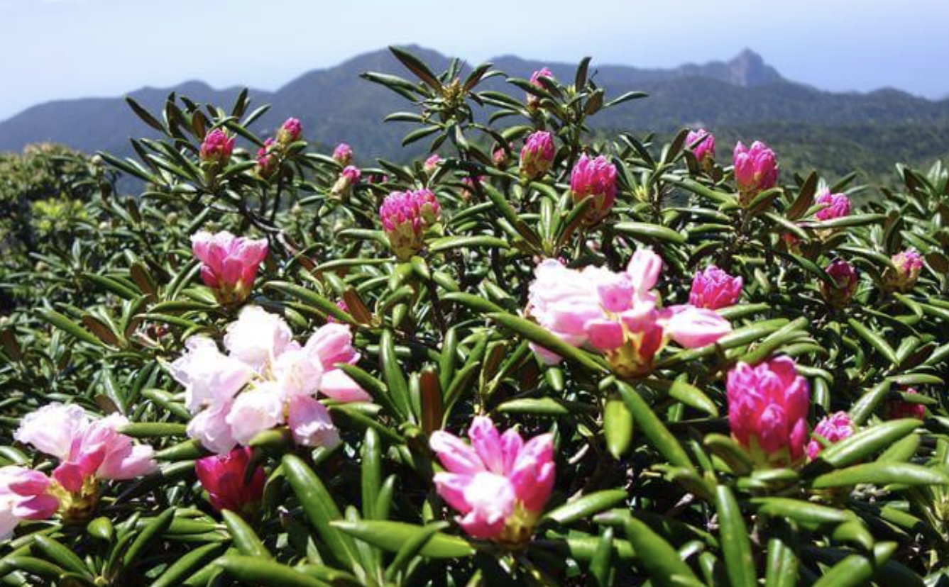
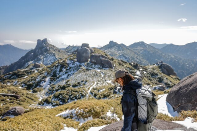
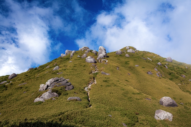
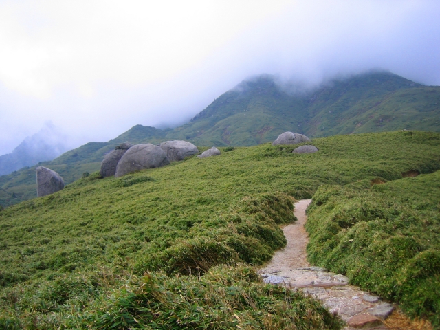
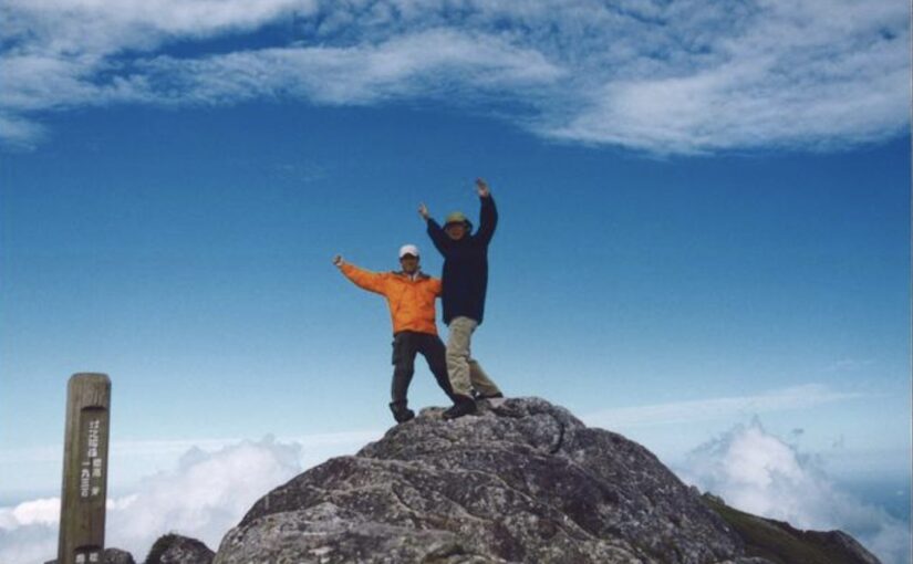
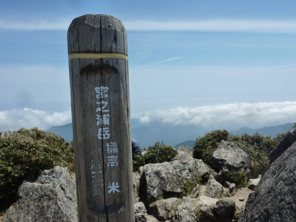
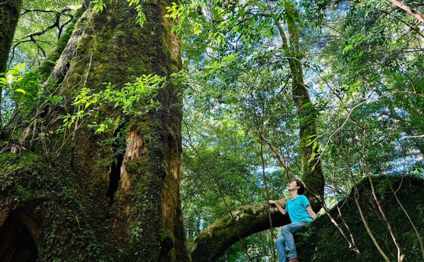
Miyanoura-dake is a 1,936-meter-high mountain located almost in the center of Yakushima. It has been selected as one of the 100 most famous mountains in Japan.
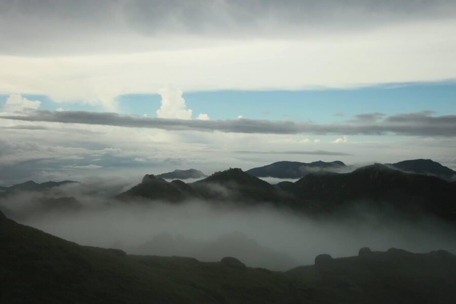
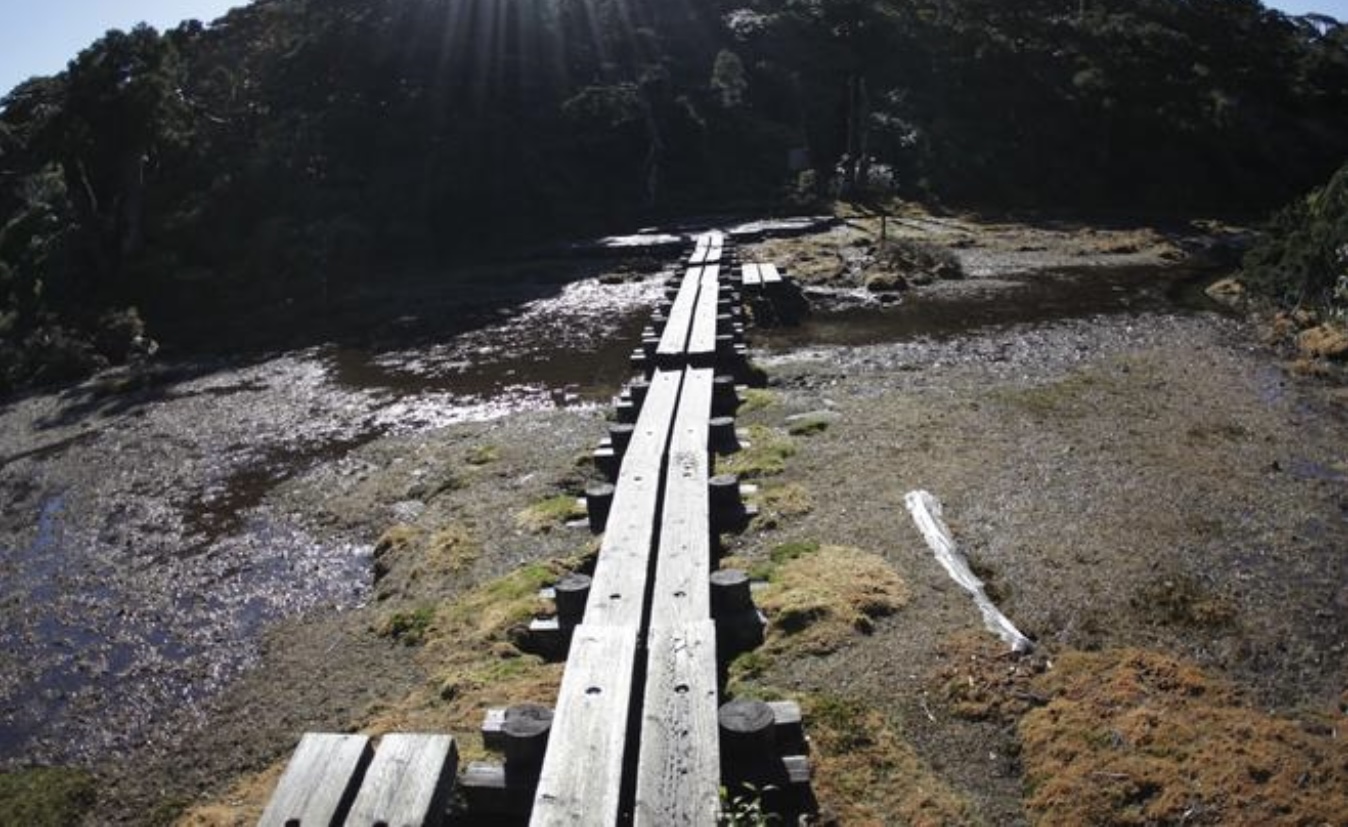
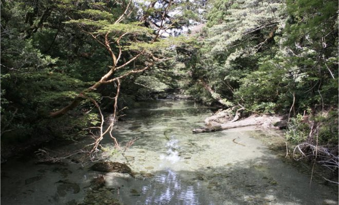
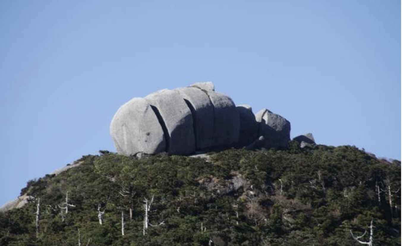
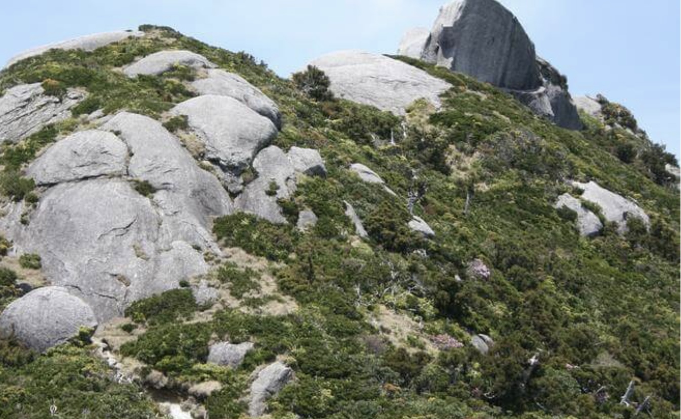
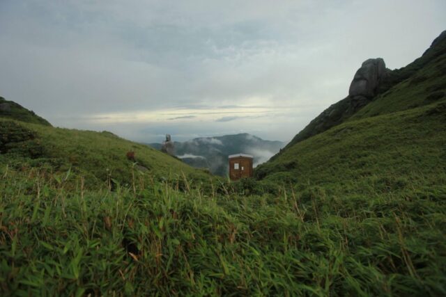
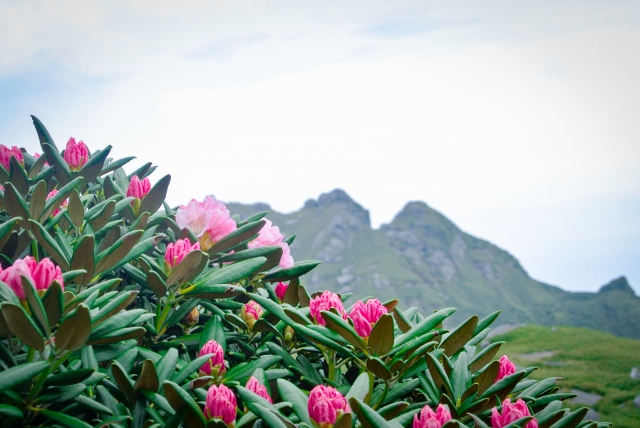
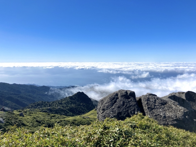
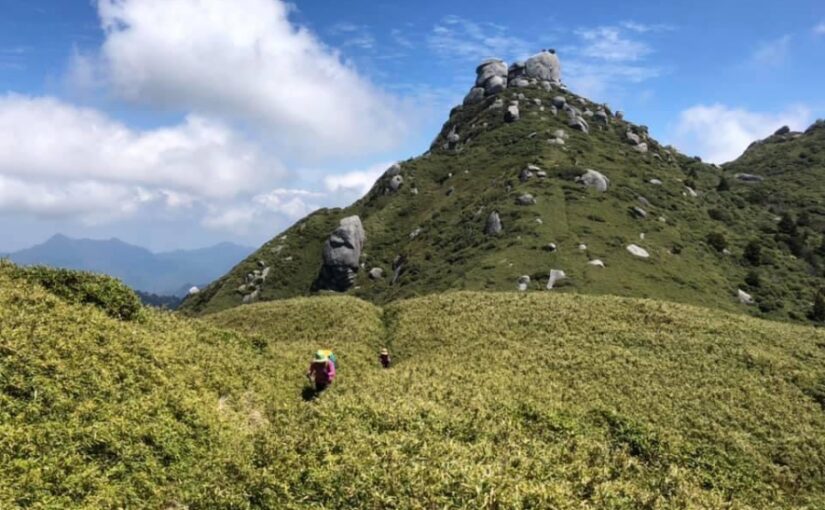
The route to the summit changes its expression with each change in elevation,Varied landscapesYou can enjoy the view from the top of the mountain. Once you reach the summit, you will be greeted with a spectacular panoramic view from the primeval forest to the ocean.
For those who...
◆If you want to know about climbing Mt.
◆If you are looking for a tour to Mt.
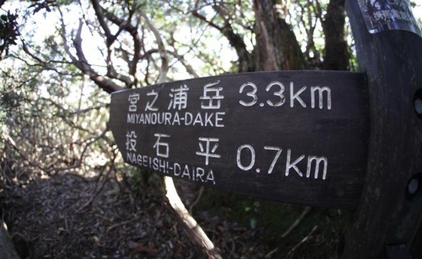
◆If you want to know about the difficulty level and route of Miyanoura-dake
◆If you want to know what to wear and what to expect when going to Mt.
◆If you are looking for a tour to Mt.
◆If you want to know about the difficulty level and route of Miyanoura-dake
◆If you want to know what to wear and what to expect when going to Mt.
In this issue, we introduce the charm of Mt. Miyanoura and recommended tours!


")
")
")

")
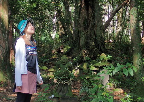
<br />(Symbol of Yakushima)")
")
")
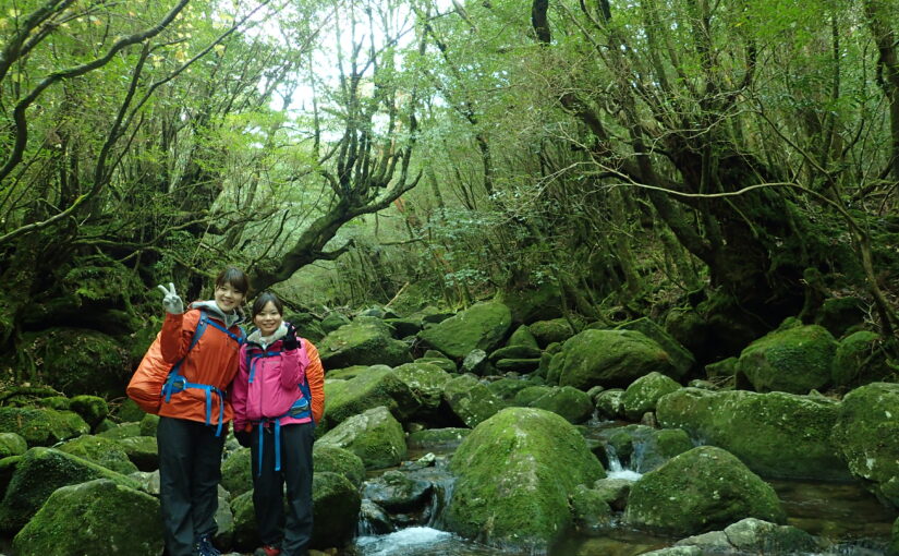
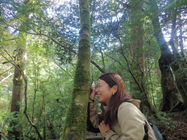
<br />(The spectacular view of Shiratani-unsui Gorge)")
")
<br />(The largest river in Yakushima)")


")

")