
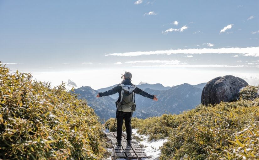
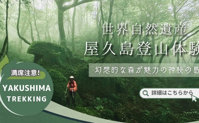
Yakushima - Mt.
What is Mt.
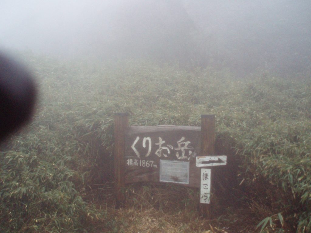
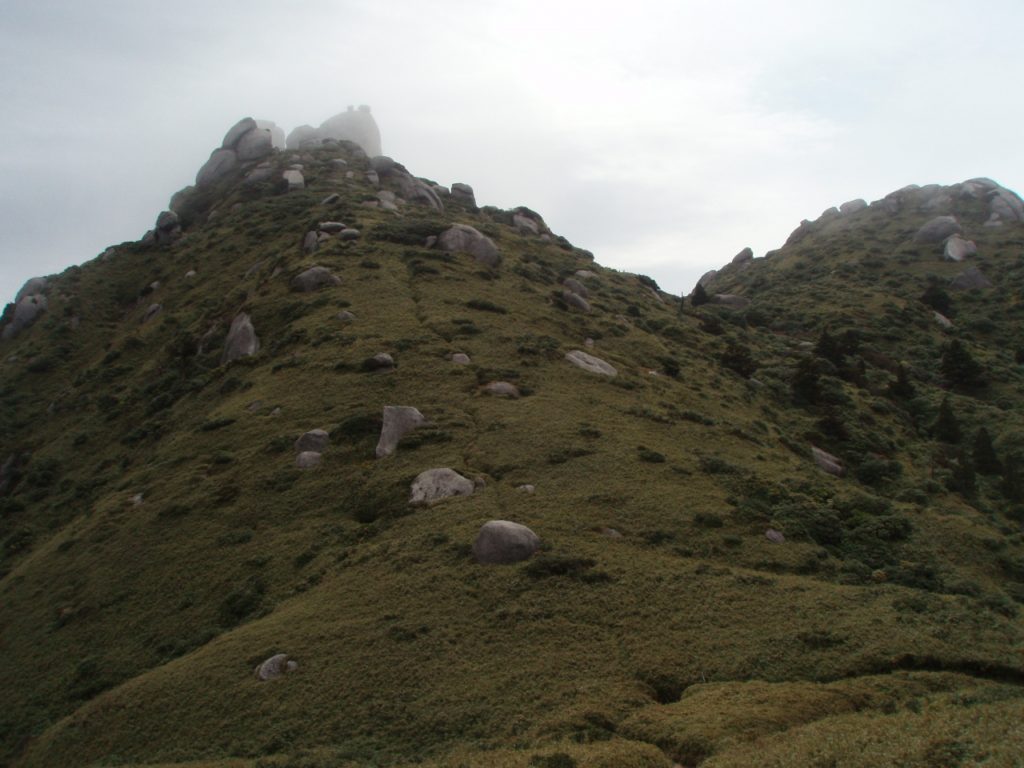
Mt. Kurio is one of the mountains on Yakushima Island, and at 1,867 meters above sea level, it is the third highest mountain on Yakushima Island and in the Kyushu region.
However, it is not an independent mountain, but a mountain located southeast of Miyanoura-dake, the highest peak on Yakushima, and is counted as one of the Miyanoura-dake mountainsides.
Kurio-dake is characterized by a dynamic landscape of yakusasa trees and granite boulders peeking out from the mountain face.
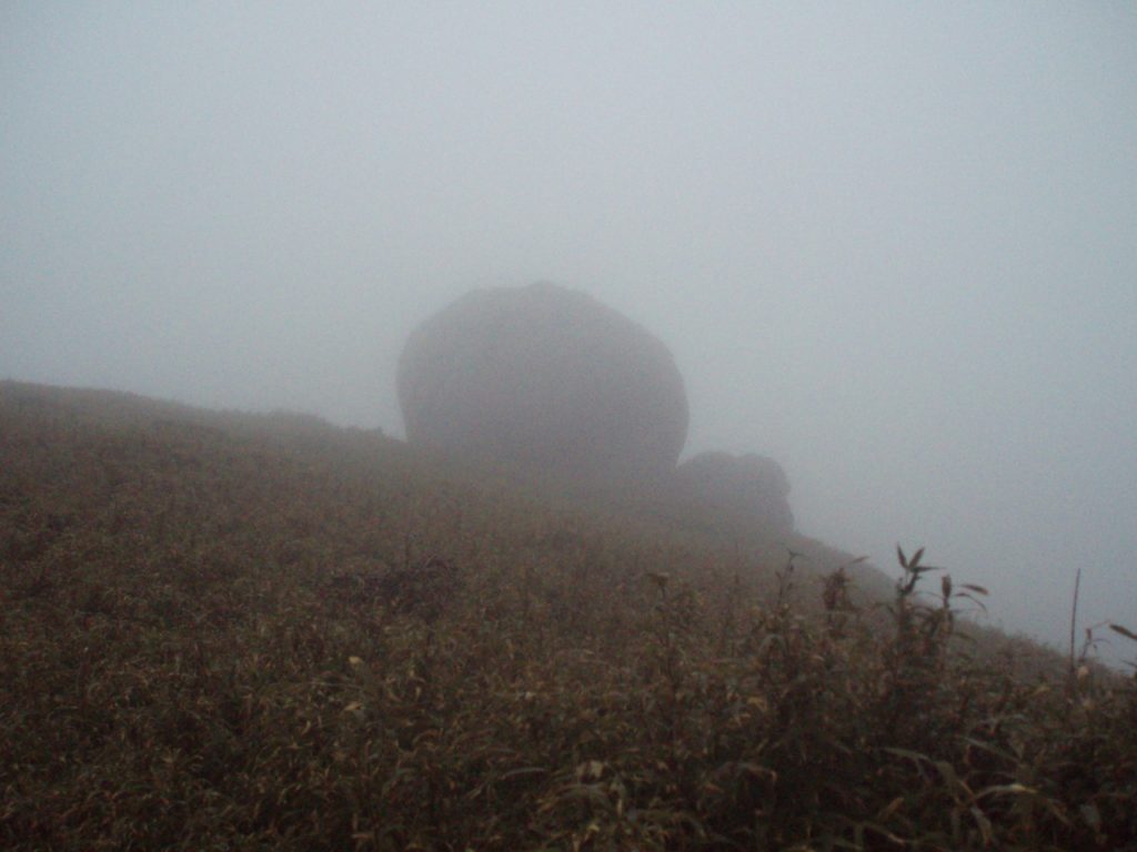
The summit of the mountain is likewise a granite boulder, which must be climbed to reach the top.
At the bottom of the summit is a shrine built into a rocky hill and dedicated to the deity Ippin Hoshu Daigongen. It is believed to be a sacred mountain that has been the object of worship of the Kurio community at the foot of the mountain since ancient times.
However, the remains of the village have not been discovered or excavated in previous studies.
Directions to Mt.
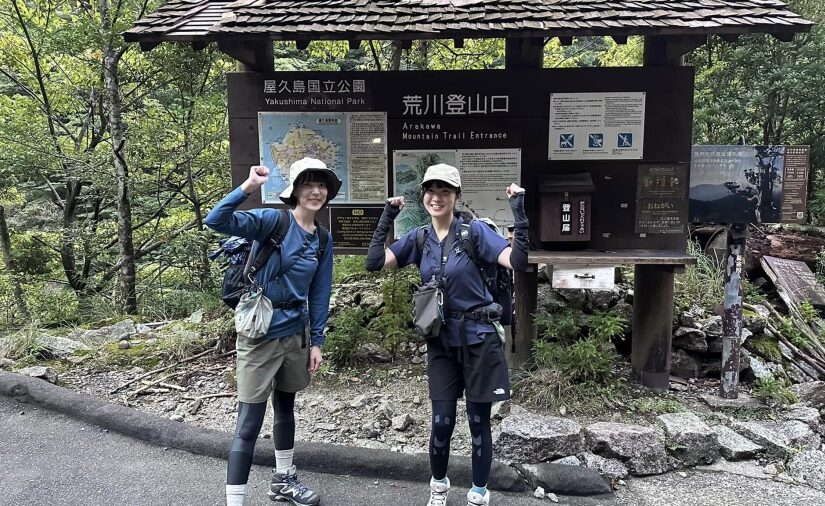
Kurio-dake is located approximately 1 hour and 20 minutes by car from Miyanoura Port.
Leaving Miyanoura Port, take Route 78 southward for a nearly half-circumnavigation of the island.
Turn right at the second Y-junction after crossing the Kuromi River.
Follow the road for a while and you will arrive.
Details of Mt.
| Location | Yakushima Town, Kumage-gun, Kagoshima Prefecture (View on Map) |
| Access | Approximately 1 hour and 20 minutes by car from Miyanoura Port |
| parking lot | existence (at the present moment) |
| toilet | - |
| Business Hours | - |


")
")
")

")
<br />(Symbol of Yakushima)")
")
")
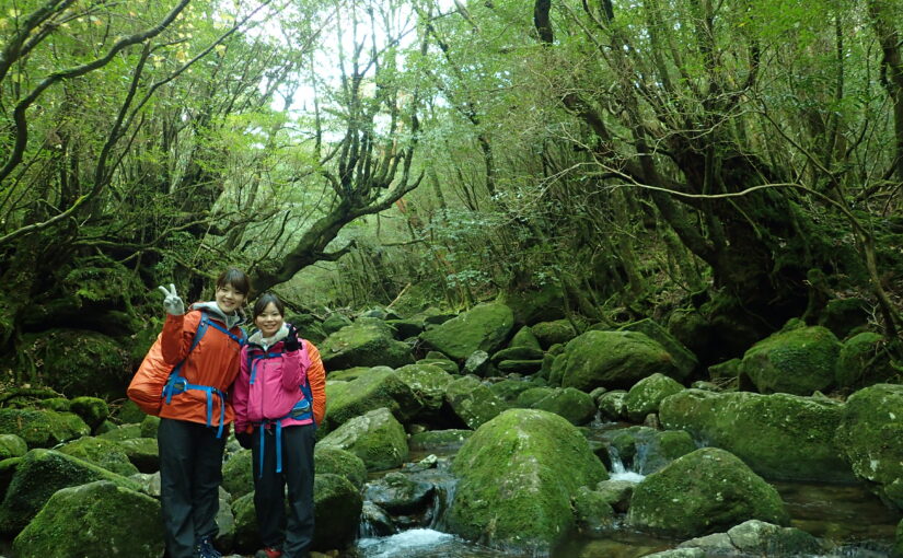
<br />(The spectacular view of Shiratani-unsui Gorge)")
")
<br />(The largest river in Yakushima)")


")

")